Category:Maps of rivers in Minnesota
Jump to navigation
Jump to search
States of the United States: Alabama · Alaska · Arizona · Arkansas · California · Colorado · Connecticut · Delaware · Florida · Georgia · Idaho · Illinois · Indiana · Iowa · Kansas · Kentucky · Louisiana · Maine · Maryland · Massachusetts · Michigan · Minnesota · Mississippi · Missouri · Montana · Nebraska · Nevada · New Hampshire · New Jersey · New Mexico · New York · North Carolina · North Dakota · Ohio · Oklahoma · Oregon · Pennsylvania · Rhode Island · South Carolina · South Dakota · Tennessee · Texas · Utah · Vermont · Virginia · Washington · West Virginia · Wisconsin · Wyoming – Washington, D.C.
- English: Maps of the Rivers of Minnesota.
Media in category "Maps of rivers in Minnesota"
The following 44 files are in this category, out of 44 total.
-
 MNRiverBasins.gif 550 × 550; 20 KB
-
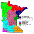
 Watersheds of Minnesota.GIF 550 × 550; 23 KB
-
 Blueearthrivermap.png 500 × 500; 101 KB
-
 Boisdesiouxrivermap.png 500 × 499; 136 KB
-
 Cannonriver.jpg 590 × 670; 227 KB
-
 Cottonwoodmnrivermap.png 500 × 500; 142 KB
-
 Crow mnrivermap.png 500 × 500; 124 KB
-
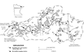 Kawishiwi River Basin in the BWCA.png 681 × 420; 141 KB
-
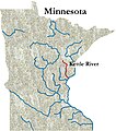 Kettlerivermap.jpg 590 × 670; 228 KB
-
 Lacqueparlerivermap.png 500 × 500; 142 KB
-
 Lcottonwoodmnrivermap.png 500 × 500; 142 KB
-
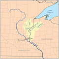
 Lminnesotarivermap.png 500 × 500; 140 KB
-
 Map of watersheds and basins in Minnesota-no names.svg 567 × 670; 5.07 MB
-
 Map of watersheds and basins in Minnesota-with county outlines.svg 567 × 670; 5.34 MB
-
 Map of watersheds and basins in Minnesota.svg 582 × 705; 5.28 MB
-
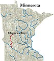 Mapchippewariver.jpg 400 × 454; 115 KB
-
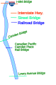
 Minneapolis Mississippi.svg 1,000 × 938; 93 KB
-
 Minnesota River.jpg 1,405 × 1,670; 216 KB
-
 Minnesotarivermap.png 1,000 × 1,000; 344 KB
-
 Mississippi River in MN.jpg 1,394 × 1,676; 214 KB
-
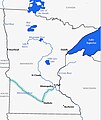
 Ottertailrivermap.png 500 × 499; 136 KB
-
 Pommedeterremnrivermap.png 500 × 500; 142 KB
-
 Red River of the North in MN.jpg 1,402 × 1,675; 215 KB
-
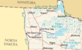
 Red-river-basin.png 540 × 397; 97 KB
-
 Redlakeriver-map.png 281 × 171; 15 KB
-
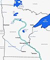
 Redrivernorthmap.png 500 × 499; 137 KB
-
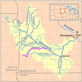 Redwoodmnrivermap.png 500 × 500; 142 KB
-
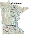 Redwoodrivermap.jpg 300 × 341; 73 KB
-
 Riviererougecarte.png 500 × 499; 133 KB
-
 Rootrivermap.jpg 590 × 670; 226 KB
-
 SoutheastMN.gif 376 × 354; 95 KB
-
 Southwestern Minnesota.gif 286 × 262; 51 KB
-
 St. Croix River.jpg 1,404 × 1,672; 214 KB
-
 Stcroixmnwirivermap.png 500 × 502; 112 KB
-
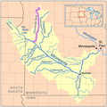
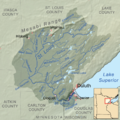 Stlouisrivermap.png 1,000 × 1,003; 652 KB
-
 Upper 2 Minneapolis Mississippi.svg 500 × 875; 30 KB
-
 Upper 3 Minneapolis Mississippi.svg 438 × 663; 22 KB
-
 Upper Mississippi River Valley AVA.png 415 × 500; 100 KB
-
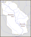
 Vermillion River Watershed MN map.jpg 1,200 × 600; 176 KB
-
 Whetstonemnrivermap.png 500 × 500; 142 KB
-
 Wildricerivermap.png 500 × 499; 141 KB
-
 Wpdms usgs photo upper mississippi.jpg 598 × 379; 98 KB
-
 Yellowbankrivermap.png 500 × 500; 142 KB
-
 Yellowmedicinerivermap.png 500 × 500; 141 KB


