Category:SVG maps of Missouri
Jump to navigation
Jump to search
States of the United States: Alabama · Alaska · Arizona · Arkansas · California · Colorado · Connecticut · Delaware · Florida · Georgia · Hawaii · Idaho · Illinois · Indiana · Iowa · Kansas · Kentucky · Louisiana · Maine · Maryland · Massachusetts · Michigan · Minnesota · Mississippi · Missouri · Montana · Nebraska · Nevada · New Hampshire · New Jersey · New Mexico · New York · North Carolina · North Dakota · Ohio · Oklahoma · Oregon · Pennsylvania · Rhode Island · South Carolina · South Dakota · Tennessee · Texas · Utah · Vermont · Virginia · Washington · West Virginia · Wisconsin · Wyoming – Washington, D.C.
American Samoa · Guam · Northern Mariana Islands · Puerto Rico – Navassa Island · Palmyra Atoll
American Samoa · Guam · Northern Mariana Islands · Puerto Rico – Navassa Island · Palmyra Atoll
A collection of maps of Missouri in SVG format
Subcategories
This category has the following 2 subcategories, out of 2 total.
Media in category "SVG maps of Missouri"
The following 34 files are in this category, out of 34 total.
-
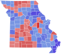
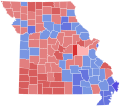
1968 MO LG.svg 810 × 717; 49 KB
-
2013 St. Louis, Missouri mayoral election results by ward.svg 366 × 756; 323 KB
-
38th parallel structures loc.svg 610 × 372; 530 KB
-
Avenue of the Saints map.svg 1,180 × 688; 259 KB
-
Flag-map of Missouri.svg 1,525 × 1,341; 327 KB
-
LGBT flag map of Missouri.svg 1,317 × 1,184; 15 KB
-
Map of USA MO.svg 286 × 186; 167 KB
-
MDC Lands 2007 central region hilite.svg 651 × 581; 632 KB
-
MDC Lands 2007 Kansas City region hilite.svg 651 × 582; 624 KB
-
MDC Lands 2007 northeast region hilite.svg 651 × 582; 620 KB
-
MDC Lands 2007 northwest region hilite.svg 651 × 582; 624 KB
-
MDC Lands 2007 Ozark region hilite.svg 651 × 582; 624 KB
-
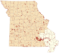
MDC Lands 2007 southeast region hilite.svg 651 × 582; 624 KB
-
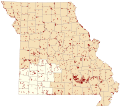
MDC Lands 2007 southwest region hilite.svg 651 × 582; 624 KB
-
MDC Lands 2007 St Louis region hilite.svg 651 × 582; 623 KB
-
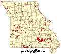
MDC Lands 2007 v2.svg 651 × 582; 610 KB
-
MDC Lands 2007.svg 851 × 761; 657 KB
-
Missouri counties and cities with domestic partnerships.svg 950 × 500; 189 KB
-
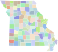
Missouri counties by race.svg 285 × 252; 34 KB
-
Missouri county map, cb 500k.svg 810 × 717; 40 KB
-
Missouri Köppen.svg 990 × 1,224; 600 KB
-
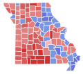
Missouri Lieutenant Governor Election Results by County, 2004.svg 810 × 717; 49 KB
-
Missouri Lieutenant Governor Election Results by County, 2008.svg 810 × 717; 49 KB
-
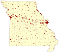
Missouri Natl Reg Historic Places v1.svg 820 × 727; 431 KB
-
Missouri racial and ethnic map.svg 284 × 252; 52 KB
-
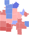
Missouri4th2010Results.svg 652 × 775; 148 KB
-
MO 1972 LG.svg 810 × 717; 49 KB
-
MO LG 1976.svg 810 × 717; 49 KB
-
MormonWarMap english.svg 500 × 520; 928 KB
-
MormonWarMap spanish.svg 500 × 520; 928 KB
-
Rock Island Trail State Park MO locator.svg 567 × 499; 406 KB
-
St. Louis, Missouri mayoral election results by ward, 2017.svg 366 × 756; 322 KB
-
USA Missouri location map.svg 1,401 × 1,282; 853 KB
-
USA Missouri relief location map.svg 1,401 × 1,282; 4.03 MB
