Category:Maps of rivers of Ethiopia
Jump to navigation
Jump to search
Countries of Africa: Algeria · Angola · Benin · Burkina Faso · Burundi · Central African Republic · Chad · Democratic Republic of the Congo · Republic of the Congo · Equatorial Guinea · Ethiopia · Gabon · Ghana · Guinea · Guinea-Bissau · Ivory Coast · Kenya · Lesotho · Madagascar · Mali · Morocco · Mozambique · Namibia · Niger · Nigeria · Rwanda · Senegal · South Africa · South Sudan · Sudan · Togo · Tunisia · Uganda · Zambia · Zimbabwe
Subcategories
This category has the following 2 subcategories, out of 2 total.
M
- Maps of Jubba River (21 F)
- Maps of the Blue Nile (30 F)
Media in category "Maps of rivers of Ethiopia"
The following 15 files are in this category, out of 15 total.
-
 Atbara OSM.png 1,034 × 1,133; 1.51 MB
-
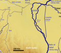
 Atbara river map.jpg 1,141 × 664; 198 KB
-
 Bahr al Ghazal map.png 642 × 556; 157 KB
-
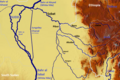
 DT drainage.jpg 934 × 720; 407 KB
-
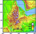
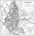 Ethiopia1911.png 2,004 × 2,066; 3.06 MB
-
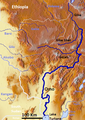
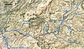 Giba drainage network.jpg 1,209 × 716; 533 KB
-
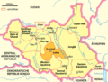 Karte Südsudan Lakes.png 1,500 × 1,133; 191 KB
-
 Lower Omo.jpg 2,066 × 1,938; 785 KB
-
 Mille river.svg 428 × 348; 775 KB
-
 Omo OSM.png 407 × 575; 426 KB
-
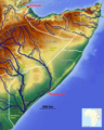 Rivers of Somalia OSM.png 3,937 × 4,921; 16.29 MB
-

-
 Sobat Basin.png 810 × 540; 417 KB
-
 Sobat OSM.png 543 × 424; 283 KB
-
 Sobat Sudd OSM.png 1,345 × 575; 949 KB


_(14743441706).jpg)


