Category:Maps of rivers of Algeria
Jump to navigation
Jump to search
Countries of Africa: Algeria · Angola · Benin · Burkina Faso · Burundi · Central African Republic · Chad · Democratic Republic of the Congo · Republic of the Congo · Equatorial Guinea · Ethiopia · Gabon · Ghana · Guinea · Guinea-Bissau · Ivory Coast · Kenya · Lesotho · Madagascar · Mali · Morocco · Mozambique · Namibia · Niger · Nigeria · Rwanda · Senegal · South Africa · South Sudan · Sudan · Togo · Tunisia · Uganda · Zambia · Zimbabwe
Media in category "Maps of rivers of Algeria"
The following 19 files are in this category, out of 19 total.
-
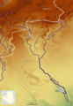
 99531312 o.jpg 1,240 × 970; 764 KB
-
 CarteOuedNamous.png 554 × 540; 165 KB
-
 Endiguement des oueds.jpg 1,030 × 1,090; 305 KB
-
 France & Colonies-1894-Oued Righ.jpg 2,788 × 4,488; 2.14 MB
-
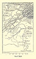
 Haciane Menkoub.jpg 1,853 × 1,317; 315 KB
-
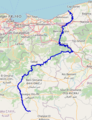
 Isser Basin OSM.png 843 × 850; 1.32 MB
-
 Macta carte.jpg 2,045 × 1,346; 312 KB
-
 Medjerda Bassin OSM.png 3,024 × 2,079; 8.71 MB
-
 Mzab-ouargla-righ.png 1,236 × 724; 33 KB
-
 Oued Isser OSM.png 349 × 457; 131 KB
-
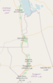 Oued Righ.png 346 × 543; 42 KB
-
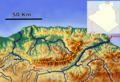
 Rhumel Kebir Basin OSM.png 1,500 × 1,051; 2.68 MB
-
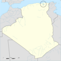 Rhummel location map.png 2,688 × 2,669; 422 KB
-
 Río Chelif 2.jpg 1,436 × 1,161; 1.48 MB
-
 Saoura OSM.png 2,278 × 3,294; 10.62 MB
-
 Sebaou Basin OSM.png 1,228 × 835; 1.62 MB
-
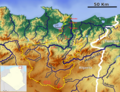 Seybouse Basin.png 1,531 × 1,172; 2.93 MB
-
 Soummam Basin OSM.png 1,550 × 1,134; 3.09 MB
-
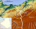 Tafna Bassin OSM.png 1,370 × 1,111; 2.22 MB


