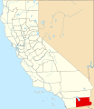
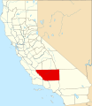
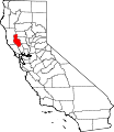
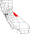
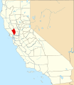
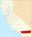
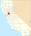
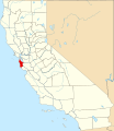
Category:Locator maps of counties of California
Jump to navigation
Jump to search

States of the United States: Alabama · Alaska · Arizona · Arkansas · California · Colorado · Connecticut · Delaware · Florida · Georgia · Hawaii · Idaho · Illinois · Indiana · Iowa · Kansas · Kentucky · Louisiana · Maine · Maryland · Massachusetts · Michigan · Minnesota · Mississippi · Missouri · Montana · Nebraska · Nevada · New Hampshire · New Jersey · New Mexico · New York · North Carolina · North Dakota · Ohio · Oklahoma · Oregon · Pennsylvania · Rhode Island · South Carolina · South Dakota · Tennessee · Texas · Utah · Vermont · Virginia · Washington · West Virginia · Wisconsin · Wyoming
| NO WIKIDATA ID FOUND! Search for Locator maps of counties of California on Wikidata | |
| Upload media |
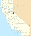
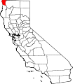
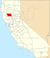
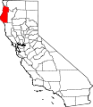
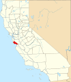
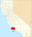
English: Locator maps for counties in California.
Subcategories
This category has the following 3 subcategories, out of 3 total.
Media in category "Locator maps of counties of California"
The following 65 files are in this category, out of 65 total.
-
Emerald Triangle.png 2,000 × 2,299; 365 KB
-
ContraCostaCountyCALM.png 661 × 606; 10 KB
-
Map of California highlighting Alameda County.svg 916 × 1,054; 151 KB
-
Map of California highlighting Alpine County.svg 916 × 1,054; 151 KB
-
Map of California highlighting Amador County.svg 916 × 1,054; 151 KB
-
Map of California highlighting Butte County.svg 916 × 1,054; 151 KB
-
Map of California highlighting Calaveras County.svg 916 × 1,054; 151 KB
-
Map of California highlighting Colusa County.svg 916 × 1,054; 151 KB
-
Map of California highlighting Contra Costa County.svg 916 × 1,054; 151 KB
-
Map of California highlighting Del Norte County.svg 916 × 1,054; 151 KB
-
Map of California highlighting El Dorado County.svg 916 × 1,054; 151 KB
-
Map of California highlighting Fresno County.svg 916 × 1,054; 151 KB
-
Map of California highlighting Glenn County.svg 916 × 1,054; 151 KB
-
Map of California highlighting Humboldt County.svg 916 × 1,054; 151 KB
-
Map of California highlighting Imperial County.svg 916 × 1,054; 151 KB
-
Map of California highlighting Inyo County.svg 916 × 1,054; 151 KB
-
Map of California highlighting Kern County.svg 916 × 1,054; 151 KB
-
Map of California highlighting Kings County.svg 916 × 1,054; 151 KB
-
Map of California highlighting Lake County.svg 916 × 1,054; 151 KB
-
Map of California highlighting Lassen County.svg 916 × 1,054; 151 KB
-
Map of California highlighting Los Angeles County.svg 916 × 1,054; 151 KB
-
Map of California highlighting Madera County.svg 916 × 1,054; 151 KB
-
Map of California highlighting Marin County.svg 916 × 1,054; 151 KB
-
Map of California highlighting Mariposa County.svg 916 × 1,054; 151 KB
-
Map of California highlighting Mendocino County.svg 916 × 1,054; 151 KB
-
Map of California highlighting Merced County.svg 916 × 1,054; 151 KB
-
Map of California highlighting Modoc County.svg 916 × 1,054; 151 KB
-
Map of California highlighting Mono County.svg 916 × 1,054; 151 KB
-
Map of California highlighting Napa County.svg 916 × 1,054; 151 KB
-
Map of California highlighting Nevada County.svg 916 × 1,054; 151 KB
-
Map of California highlighting Orange County.svg 916 × 1,054; 151 KB
-
Map of California highlighting Placer County.svg 916 × 1,054; 151 KB
-
Map of California highlighting Plumas County.svg 916 × 1,054; 151 KB
-
Map of California highlighting Riverside County.svg 916 × 1,054; 151 KB
-
Map of California highlighting Sacramento County.svg 916 × 1,054; 151 KB
-
Map of California highlighting San Benito County.svg 916 × 1,054; 151 KB
-
Map of California highlighting San Bernardino County.svg 916 × 1,054; 151 KB
-
Map of California highlighting San Diego County.svg 916 × 1,054; 151 KB
-
Map of California highlighting San Joaquin County.svg 916 × 1,054; 151 KB
-
Map of California highlighting San Luis Obispo County.svg 916 × 1,054; 151 KB
-
Map of California highlighting San Mateo County.svg 916 × 1,054; 151 KB
-
Map of California highlighting Santa Clara County.svg 916 × 1,054; 151 KB
-
Map of California highlighting Santa Cruz County.svg 916 × 1,054; 151 KB
-
Map of California highlighting Shasta County.svg 916 × 1,054; 151 KB
-
Map of California highlighting Sierra County.svg 916 × 1,054; 151 KB
-
Map of California highlighting Siskiyou County.svg 916 × 1,054; 151 KB
-
Map of California highlighting Solano County.svg 916 × 1,054; 151 KB
-
Map of California highlighting Sonoma County.svg 916 × 1,054; 151 KB
-
Map of California highlighting Stanislaus County.svg 916 × 1,054; 151 KB
-
Map of California highlighting Sutter County.svg 916 × 1,054; 151 KB
-
Map of California highlighting Tehama County.svg 916 × 1,054; 151 KB
-
Map of California highlighting Trinity County.svg 916 × 1,054; 151 KB
-
Map of California highlighting Tulare County.svg 916 × 1,054; 151 KB
-
Map of California highlighting Tuolumne County.svg 916 × 1,054; 151 KB
-
Map of California highlighting Ventura County.svg 916 × 1,054; 151 KB
-
Map of California highlighting Yolo County.svg 916 × 1,054; 151 KB
-
Map of California highlighting Yuba County.svg 916 × 1,054; 151 KB
-
Map of California highlighting Monterey County.svg 916 × 1,054; 151 KB
-
Orange County California and neighbors.svg 300 × 300; 20 KB
-
SanDiegoCountyCALM.gif 661 × 606; 10 KB
-
SanMateoCountyCALM.gif 661 × 606; 10 KB
-
Map of California highlighting Santa Barbara County.svg 916 × 1,054; 151 KB
-
California county map (Inland Empire highlighted) Gold color.svg 650 × 800; 258 KB
-
California county map (Inland Empire highlighted).svg 650 × 800; 258 KB


