Category:Maps of Shiga prefecture
Jump to navigation
Jump to search
日本語: 滋賀県の地図のカテゴリ。 日本全体における県の位置図は"Locator maps of ~"を、県内における各市町村の位置図は"Locator maps of municipalities ~"を、各郡の地図は"Maps of districts ~"を、過去の市町村の地図は"Maps of former municipalities ~"を参照。
Wikimedia category | |||||
| Upload media | |||||
| Instance of | |||||
|---|---|---|---|---|---|
| Category combines topics | |||||
| Shiga Prefecture | |||||
prefecture of Japan | |||||
| Instance of | |||||
| Named after |
| ||||
| Location | Japan | ||||
| Capital | |||||
| Legislative body |
| ||||
| Executive body | |||||
| Anthem |
| ||||
| Head of government |
| ||||
| Mascot |
| ||||
| Legal form |
| ||||
| Highest point | |||||
| Population |
| ||||
| Area |
| ||||
| Replaces |
| ||||
| official website | |||||
 | |||||
Subcategories
This category has the following 21 subcategories, out of 21 total.
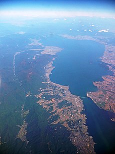
- Maps of Lake Biwa (4 F)
A
L
M
- Maps of Hino, Shiga (2 F)
- Maps of Konan, Shiga (2 F)
- Maps of Kusatsu, Shiga (4 F)
- Maps of Maibara, Shiga (2 F)
- Maps of Moriyama, Shiga (2 F)
- Maps of Nagahama, Shiga (16 F)
- Maps of Ritto, Shiga (2 F)
- Maps of Takashima, Shiga (2 F)
- Maps of Yasu, Shiga (3 F)
Pages in category "Maps of Shiga prefecture"
This category contains only the following page.
Media in category "Maps of Shiga prefecture"
The following 48 files are in this category, out of 48 total.
-
Flag map of Shiga Prefecture.svg 314 × 506; 11 KB
-
Complete map of Shiga Prefecture, 1880.jpg 4,058 × 3,499; 6.58 MB
-
GappeiChizu ShigaKen.png 128 × 166; 6 KB
-
Growth rate map of municipalities of Shiga prefecture, Japan.svg 450 × 772; 18 KB
-
Hikone, Shiga prefecture, Honshu, Japan - btv1b532667222.jpg 9,322 × 11,104; 18.05 MB
-
Japan - Shiga - Ken - DPLA - a63cc4d91d52a741570773b45bc4933f.jpg 4,990 × 7,127; 4.15 MB
-
Japan kinki map small.png 235 × 300; 6 KB
-
Japan Shiga Prefecture location map.svg 390 × 610; 11 KB
-
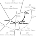
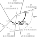
Location map of Keiji Bypass 2021.png 1,600 × 1,600; 67 KB
-
Location map of Keiji Bypass.png 1,600 × 1,600; 68 KB
-
Map of Japan with highlight on 25 Shiga prefecture.svg 1,024 × 1,024; 15 KB
-
Map of Kunugino Village, Kōga County, Ōmi Province (15300108896).jpg 2,500 × 1,717; 1.71 MB
-
Map of license plates in Shiga Japan.svg 390 × 610; 20 KB
-
Map of Shiga Prefecture Ja.svg 390 × 610; 10 KB
-
Shadow picture of Shiga prefecture.png 252 × 392; 3 KB
-
Shiga -map.jpg 2,000 × 3,125; 807 KB
-
Shiga Azai-gun.png 130 × 180; 3 KB
-
Shiga dialect.png 350 × 541; 42 KB
-
Shiga electoral districts latest version.png 575 × 899; 84 KB
-
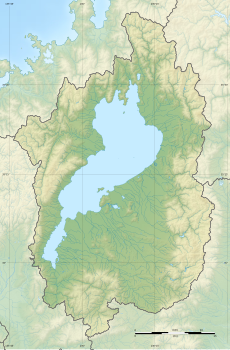
Shiga géolocalisation relief.svg 744 × 1,130; 2.08 MB
-
Shiga géolocalisation.svg 744 × 1,130; 1.78 MB
-
Shiga Prefecture Dainaka Lake.png 362 × 353; 172 KB
-
Shiga-geo-stub.png 471 × 759; 33 KB
-
Shiga-pref.png 128 × 166; 5 KB
-
ShigaMap.PNG 450 × 770; 46 KB
-
ShigaMapCurrent.png 981 × 801; 42 KB
-
Yansu.png 349 × 541; 46 KB
-
地図 衆議院小選挙区 25 00.svg 390 × 610; 9 KB
-
地図-滋賀県-1878.png 128 × 166; 4 KB
-
地図-滋賀県伊香郡.png 128 × 166; 3 KB
-
地図-滋賀県坂田郡.png 128 × 166; 3 KB
-
地図-滋賀県愛知郡.png 128 × 166; 3 KB
-
地図-滋賀県栗太郡.png 128 × 166; 3 KB
-
地図-滋賀県浅井郡.png 128 × 166; 3 KB
-
地図-滋賀県滋賀郡.png 128 × 166; 3 KB
-
地図-滋賀県犬上郡.png 128 × 166; 3 KB
-
地図-滋賀県甲賀郡.png 128 × 166; 3 KB
-
地図-滋賀県神崎郡.png 128 × 166; 3 KB
-
地図-滋賀県蒲生郡.png 128 × 166; 3 KB
-
地図-滋賀県野洲郡.png 128 × 166; 3 KB
-
地図-滋賀県高島郡.png 128 × 166; 3 KB
-
基礎自治体位置図 25381.svg 390 × 610; 9 KB
-
大津市.png 128 × 166; 6 KB
-
気象庁の滋賀県の区分.jpg 1,080 × 1,528; 842 KB
-
湖南市.png 128 × 166; 6 KB
-
甲賀市.png 128 × 166; 6 KB
-
衆議院小選挙区 滋賀県.svg 390 × 610; 25 KB


