Category:Maps of County Down
Jump to navigation
Jump to search
Wikimedia category | |||||
| Upload media | |||||
| Instance of | |||||
|---|---|---|---|---|---|
| Category combines topics | |||||
| County Down | |||||
county of Northern Ireland | |||||
| Instance of | |||||
| Part of | |||||
| Named after | |||||
| Location | Northern Ireland | ||||
| Located in or next to body of water |
| ||||
| Capital | |||||
| Inception |
| ||||
| Highest point | |||||
| Population |
| ||||
| Area |
| ||||
| Elevation above sea level |
| ||||
| official website | |||||
 | |||||
Media in category "Maps of County Down"
The following 28 files are in this category, out of 28 total.
-
The Counties of Antrim, Ardmagh and Down - By H. Moll Geographer - btv1b530565786.jpg 2,816 × 3,520; 1.6 MB
-
Baronies of Down.jpg 2,227 × 3,142; 1.1 MB
-
County Down UK location map.svg 742 × 812; 1.73 MB
-
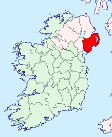
CountyDown.png 443 × 535; 59 KB
-
Down - British Isles.svg 1,250 × 1,835; 1,024 KB
-
Down Brit Isles Sect 2.svg 915 × 841; 1,012 KB
-
Down Brit Isles Sect 3.svg 939 × 677; 1,012 KB
-
Down Brit Isles Sect 4.svg 627 × 643; 1,012 KB
-
Down Brit Isles Sect 7.svg 584 × 712; 1,012 KB
-
DownAllIreland.PNG 500 × 586; 24 KB
-
DownBrit3.PNG 698 × 491; 28 KB
-
DownBrit4.PNG 468 × 487; 15 KB
-
DownBrit4b.PNG 468 × 487; 15 KB
-
DownShape.png 532 × 405; 11 KB
-
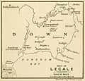
Historic map of Lecale - Alice Stopford Green, 1912.jpg 930 × 892; 118 KB
-
KILMEGAN.png 675 × 829; 82 KB
-
Lecale Peninsula.png 180 × 230; 14 KB
-
Location map Northern Ireland County Down.png 639 × 764; 381 KB
-
LowerLecale barony.png 741 × 611; 103 KB
-
MAGHERA.png 309 × 327; 25 KB
-
Map of Drumgooland parish.png 630 × 583; 84 KB
-
Newtownards street map.jpg 6,498 × 6,261; 2.72 MB
-
NorthernIrelandArds.png 200 × 161; 18 KB
-
NorthernIrelandDown.png 200 × 249; 30 KB
-
Ordnance Survey One-Inch Sheet 9 South Down, Published 1964.jpg 16,160 × 11,891; 17.31 MB
-
UpperLecale barony.png 741 × 611; 103 KB


