Category:SVG maps of Manitoba
Jump to navigation
Jump to search
Provinces and territories of Canada: Alberta · British Columbia · Manitoba · New Brunswick · Newfoundland and Labrador · Nova Scotia · Ontario · Prince Edward Island · Quebec · Northwest Territories · Nunavut · Yukon
Media in category "SVG maps of Manitoba"
The following 6 files are in this category, out of 6 total.
-
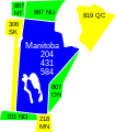
Area codes MB.svg 368 × 421; 18 KB
-
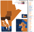
Manitoba Election 2011 Results Map.svg 767 × 720; 3.33 MB
-
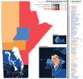
Manitoba Election Map 2016.svg 768 × 720; 3.27 MB
-
Manitoba general election, 1969 results by riding.svg 2,238 × 2,225; 280 KB
-
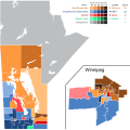
Manitoba general election, 1999 results by riding.svg 1,014 × 960; 276 KB
-
Manitoba Köppen.svg 720 × 1,278; 454 KB


