
Category:Maps of census statistical areas in Wisconsin
States of the United States: Alabama · Alaska · Arizona · Arkansas · California · Colorado · Connecticut · Delaware · Florida · Georgia · Idaho · Illinois · Indiana · Iowa · Kansas · Kentucky · Louisiana · Maine · Maryland · Massachusetts · Michigan · Minnesota · Mississippi · Missouri · Montana · Nebraska · Nevada · New Hampshire · New Jersey · New Mexico · New York · North Carolina · North Dakota · Ohio · Oklahoma · Oregon · Pennsylvania · Rhode Island · South Carolina · South Dakota · Tennessee · Texas · Utah · Vermont · Virginia · Washington · West Virginia · Wisconsin
Puerto Rico
Puerto Rico
Media in category "Maps of census statistical areas in Wisconsin"
The following 21 files are in this category, out of 21 total.
-
 2000census- Black Residential Segregation.JPG 700 × 558; 233 KB
-
 Appleton-Oshkosh-Neenah CSA.png 434 × 459; 23 KB
-
 Chicagoland Map.svg 2,082 × 3,418; 362 KB
-
 Fond du Lac-Beaver Dam CSA.png 434 × 459; 23 KB
-
 Green Bay Metropolitan Area.png 434 × 459; 23 KB
-
 Green Bay-Shawano CSA.png 434 × 459; 14 KB
-
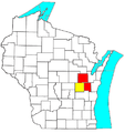
 Madison-Baraboo CSA.png 434 × 459; 23 KB
-
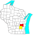
 Madison-Janesville-Beloit CSA.png 434 × 459; 14 KB
-
 Map of the USA highlighting the Twin Cities.gif 4,200 × 3,105; 1.64 MB
-
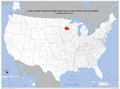 Map of the USA highlighting the Twin Cities.png 1,050 × 776; 527 KB
-
 Map of Wisconsin highlighting the Milwaukee-Racine-Waukesha CSA.svg 4,747 × 5,087; 104 KB
-
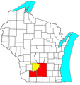
 Milwaukee-Racine-Waukesha CSA.png 434 × 459; 22 KB
-
 Milwaukee-Waukesha-West Allis Metropolitan Area.png 434 × 459; 30 KB
-
 Minneapolis-St. Paul-Bloomington, MN-WI Metro Area.svg 512 × 566; 72 KB
-
 Minneapolis–St. Paul–St. Cloud CSA.png 394 × 426; 22 KB
-
 Twin Cities.png 262 × 300; 33 KB
-
 TwinCities.jpg 660 × 599; 82 KB
-
 US metro areas-Minneapolis-StPaul-Bloomington.jpg 605 × 570; 208 KB
-
 Wausau-Merrill CSA.png 434 × 459; 23 KB
-
 Wausau-Stevens Point-Wisconsin Rapids CSA.png 434 × 459; 14 KB
-
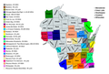 Wisconsin CBSAs 2020.png 5,376 × 3,639; 1.22 MB


