Category:Maps of census statistical areas in Ohio
Jump to navigation
Jump to search
States of the United States: Alabama · Alaska · Arizona · Arkansas · California · Colorado · Connecticut · Delaware · Florida · Georgia · Idaho · Illinois · Indiana · Iowa · Kansas · Kentucky · Louisiana · Maine · Maryland · Massachusetts · Michigan · Minnesota · Mississippi · Missouri · Montana · Nebraska · Nevada · New Hampshire · New Jersey · New Mexico · New York · North Carolina · North Dakota · Ohio · Oklahoma · Oregon · Pennsylvania · Rhode Island · South Carolina · South Dakota · Tennessee · Texas · Utah · Vermont · Virginia · Washington · West Virginia · Wisconsin
Puerto Rico
Puerto Rico
Subcategories
This category has only the following subcategory.
C
Media in category "Maps of census statistical areas in Ohio"
The following 20 files are in this category, out of 20 total.
-
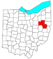
Akron Metropolitan Area.png 400 × 450; 23 KB
-
Canton-Massillon Metropolitan Area.png 400 × 450; 23 KB
-
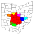
Columbus-Marion-Zanesville CSA.png 450 × 450; 13 KB
-
Dayton Metropolitan Area.png 400 × 450; 23 KB
-
Findlay-tiffinCSA.PNG 215 × 193; 3 KB
-
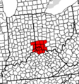
Greatercincinnaticounties.png 553 × 594; 66 KB
-
GreaterCincinnatiCSACounties.png 222 × 239; 8 KB
-
Huntington-Ashland-Ironton Metro.png 466 × 544; 46 KB
-
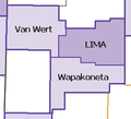
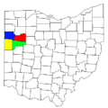
Lima VanWert Wapak.PNG 266 × 241; 4 KB
-
Lima-VanWert-WapakonetaCSA.png 450 × 450; 10 KB
-
Mansfield-Ashland-Bucyrus CSA.png 450 × 450; 10 KB
-
Ohio CBSAs 2020.png 6,988 × 3,901; 1.95 MB
-
Ohio Census Statistical Areas 2013.svg 1,639 × 1,463; 1.03 MB
-
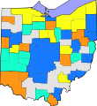
Ohio Statistical Areas.svg 3,675 × 3,995; 133 KB
-
Toledo Metro Area.PNG 326 × 279; 8 KB
-
Toledo MSA with Fremont micro in NW Ohio.png 688 × 404; 58 KB
-
Youngstown Metro Counties.PNG 293 × 173; 11 KB
-
Youngstown Metro2.PNG 293 × 173; 11 KB
-
Youngstownmetro.svg 1,059 × 829; 98 KB
-
המטרופולין של טולידו.svg 828 × 709; 137 KB

