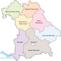
Category:Maps of Bavaria by government district
Jump to navigation
Jump to search
Federal states of Germany:
Federal states of Germany:
Maps of Regierungsbezirke in Bavaria
Subcategories
This category has the following 8 subcategories, out of 8 total.
L
M
S
U
Media in category "Maps of Bavaria by government district"
The following 16 files are in this category, out of 16 total.
-
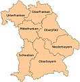
Bavarian Admin Districts.jpg 338 × 344; 51 KB
-
Bayern Blank map.svg 4,944 × 4,924; 848 KB
-
Bayern Regierungsbezirke-HU.svg 1,227 × 1,236; 159 KB
-
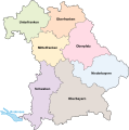
Bayern Regierungsbezirke.svg 1,227 × 1,236; 156 KB
-
Bayern-regierungsbezirke fr.jpg 450 × 450; 110 KB
-
Bayern-Regierungsbezirke mk.svg 1,227 × 1,236; 160 KB
-
Bayern-regierungsbezirke uk.png 463 × 458; 88 KB
-
Bayern-Regierungsbezirke-CS.svg 1,227 × 1,236; 81 KB
-
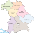
Bayern-Regierungsbezirke-ES.svg 1,227 × 1,236; 81 KB
-
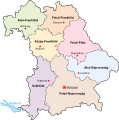
Bayern-Regierungsbezirke-FR.svg 1,227 × 1,236; 81 KB
-
Bayern-Regierungsbezirke.png 450 × 450; 102 KB
-
Bayern-Regierungsbezirke.svg 1,227 × 1,236; 164 KB
-
Locator map RB in Bavaria colored no water zoned.svg 867 × 855; 1.26 MB
-
Locator map RB in Bavaria colored no water.svg 867 × 855; 1.26 MB
-
Locator map RB in Bavaria colored.svg 867 × 855; 1.31 MB
-
Locator map RB in Bavaria.svg 867 × 855; 1.26 MB
