Category:Maps of 10th-century France
Jump to navigation
Jump to search
| Preceded by: Maps of the Carolingian territory in the 9th-century |
Maps of 10th-century France 901 AD-1000 AD |
Succeeded by: Maps of 11th-century France |
Media in category "Maps of 10th-century France"
The following 24 files are in this category, out of 24 total.
-
 Capetian France.jpg 2,400 × 2,400; 3.34 MB
-
 El reino de los francos bajo Hugo Capeto-es.svg 1,796 × 1,796; 1.48 MB
-
 Flag map of Kingdom of France (985).png 348 × 496; 30 KB
-
 France in the 10th century ru.svg 1,796 × 1,796; 1.15 MB
-
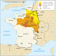
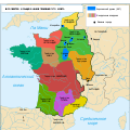
 France à la fin du Xe siècle.jpeg 534 × 616; 125 KB
-
 France1911dev.png 2,046 × 2,780; 3.94 MB
-
 Francia en el siglo X.svg 1,796 × 1,796; 897 KB
-
 Francja987.png 1,009 × 1,041; 391 KB
-
 Fraxinetum.png 2,446 × 2,174; 692 KB
-
 Hugo Capeto-es.svg 846 × 761; 1.23 MB
-
 Hugues Capet.svg 846 × 761; 1.2 MB
-
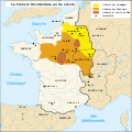
 La France au Xe siècle-el.svg 1,796 × 1,796; 1.17 MB
-
 La France au Xe siècle-es.svg 1,796 × 1,796; 1.13 MB
-
 La France au Xe siècle.svg 1,796 × 1,796; 1.15 MB
-
 La France au Xe siècle2.svg 1,796 × 1,796; 1.16 MB
-
 Le royaume des Francs sous Hugues Capet-be.svg 1,796 × 1,796; 1.36 MB
-
 Le royaume des Francs sous Hugues Capet-en.svg 1,796 × 1,796; 1.37 MB
-
 Le royaume des Francs sous Hugues Capet-es.svg 1,916 × 1,916; 1.37 MB
-
 Le royaume des Francs sous Hugues Capet-fr.svg 1,796 × 1,796; 1.38 MB
-
 Le royaume des Francs sous Hugues Capet-ka.svg 1,796 × 1,800; 1.23 MB
-
 Le royaume des Francs sous Hugues Capet-ru.svg 1,796 × 1,796; 1.07 MB
-
 Lotharingia-959 with current borders.svg 512 × 751; 416 KB
-
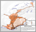
 Provinces of France in the 10th Century.png 2,424 × 2,400; 11.47 MB
-
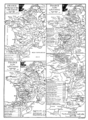
 The Normans in Europe (1877) (14588061457).jpg 1,563 × 1,977; 603 KB


.png)


_(14588061457).jpg)