High temperature areas in Iceland
At a number of Icelandic central volcanoes, there are high temperature (geothermal) areas with fumaroles, mudpots and hot springs. See also: Námafjall and High temperature areas in Iceland - Rocks and minerals
Reykjanes volcanic system
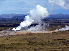
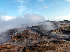
[edit]The Reykjanes (volcanic system) is situated mostly on the peninsula of the same name, but which is also called Suðurnes. The system has two high temperature areas on land. Part of the volcanic system however is to be found in the sea on the Reykjanes Ridge. The best known high temperature area is located around Gunnuhver. It is used by a geothermal power plant for energy and warm water production.
-
Approaching Gunnuhver and the geothermal power station
-
Gunnuhver geothermal field
-
Fumaroles and steam vents at Gunnuhver
-
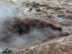
Gunnuhver mudpools
-
Hydrothermal alteration at a steam vent
-
Gunnuhver hydrothermal vent
Krýsuvík volcanic system
[edit]Like the aforementioned volcano, Krýsuvík volcanic system is located on the peninsula of Reykjanes. The system has some high temperature areas. The most famous one, is the high temperature area of Seltún with mudpots, fumaroles and hot, hydrothermally altered ground.
Hengill volcanic system
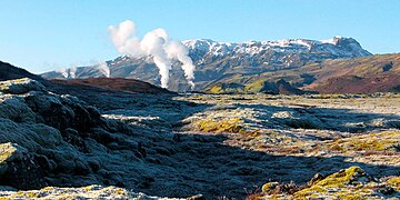
[edit]Hengill volcanic system has several high temperature areas, among them one in the valleys near Nesjavellir, some on Hellisheiði, Ölkelduháls at Hrómundartindur and two within resp. near the town of Hveragerði. Two geothermal power stations use the energy of this system.
Hengill
[edit]-
Near Nesjavellir Geothermal Power Station
-
Fumaroles on Hellisheiði
-
Fumaroles near Hellisheiði Geothermal Plant
-
Borehole steam and fumaroles
Hrómundartindur
[edit]-
Ölkelduháls
-
Hot springs in Reykjadalur
-
Reykjadalsá with hot spring
-
Reykjadalsá
-
Hot springs
-
In the vicinity of the town
-
New high temperature area
-
Leirgerður
Kerlingarfjöll
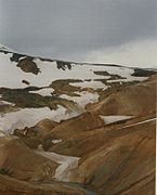
[edit]The volcanic system of Kerlingarfjöll is partially covered by small glaciers and lies in the interior of Iceland next to the ice cap Hofsjökull. The main high temperature system is in Hveradalir.
Katla
[edit]The volcano Katla is situated under the Mýrdalsjökull ice cap. High temperature areas which are located under glaciers are nevertheless often well known, because they form cauldrons on the surface of the ice. They do this by steady melting the thick glacier above them (up to 700 m in this case) or by small eruptions which stay under the ice cup. Satellite images and others show the indentations within the ice cap of Mýrdalsjökull.
-
DEM image of Eyjafjallajökull and the neighbouring Mýrdalsjökull with Katla
-
Satellite image of Katla
-
Red rings are the cauldrons
-
Ice cauldron in the foreground
-
Two cauldrons clearly discernable
See also: Námafjall, Víti (Krafla), Leirhnjúkur, High temperature areas at Brennisteinsalda and High temperature areas in Iceland - Rocks and minerals

