File:Map of Barren Co., Kentucky LOC 2012593100.tif
Jump to navigation
Jump to search

Size of this JPG preview of this TIF file: 468 × 599 pixels. Other resolutions: 187 × 240 pixels | 375 × 480 pixels | 600 × 768 pixels | 799 × 1,024 pixels | 1,599 × 2,048 pixels | 11,828 × 15,148 pixels.
Original file (11,828 × 15,148 pixels, file size: 512.61 MB, MIME type: image/tiff)
Captions
Captions
Add a one-line explanation of what this file represents
Summary
[edit]| Warning | The original file is very high-resolution. It might not load properly or could cause your browser to freeze when opened at full size. |
|---|
| Description |
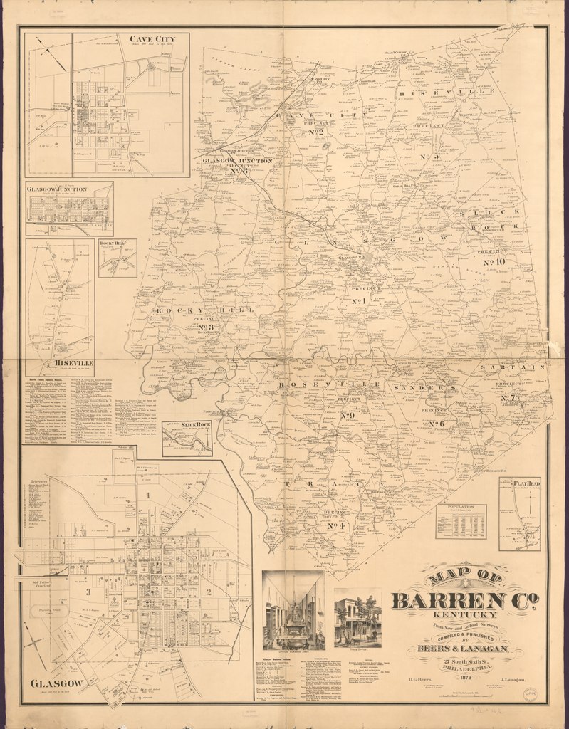
English: Shows the names of some residents. Relief shown by contours. LC Land ownership maps, 224 Available also through the Library of Congress Web site as a raster image. Copy imperfect: Torn in half along vertical fold, minor losses along edges, hemmed in blue cloth at outer edges, and mounted on cloth backing. |
||
| Title | Map of Barren Co., Kentucky | ||
| Shelf ID | G3953.B3G46 1879 .B4 | ||
| Date | |||
| Source | https://www.loc.gov/item/2012593100/ | ||
| Author | Beers, D. G. (Daniel G.); Lanagan, J.; Bourquin, F. (Frederick); Worley & Bracher; D.G. Beers & Co.; Beers, D. G. | ||
| Permission (Reusing this file) |
|
||
| Other versions |
|
||
| Location | United States · Barren County · Kentucky | ||
| Part of | American Memory · Catalog · County Landownership Maps · Geography And Map Division · Cultural Landscapes | ||
| Subject | Cadastral Maps · Kentucky · United States · Maps · Barren County · Real Property · Barren County (Ky.) · Landowners |


Licensing
[edit]|
This is a faithful photographic reproduction of a two-dimensional, public domain work of art. The work of art itself is in the public domain for the following reason:
The official position taken by the Wikimedia Foundation is that "faithful reproductions of two-dimensional public domain works of art are public domain".
This photographic reproduction is therefore also considered to be in the public domain in the United States. In other jurisdictions, re-use of this content may be restricted; see Reuse of PD-Art photographs for details. | ||||
File history
Click on a date/time to view the file as it appeared at that time.
| Date/Time | Thumbnail | Dimensions | User | Comment | |
|---|---|---|---|---|---|
| current | 11:54, 31 May 2018 |  | 11,828 × 15,148 (512.61 MB) | Fæ (talk | contribs) | LOC Maps https://www.loc.gov/item/2012593100/ #791 |
You cannot overwrite this file.
File usage on Commons
The following page uses this file: