File:East Prussia 1939.JPG
Jump to navigation
Jump to search

Size of this preview: 558 × 600 pixels. Other resolutions: 223 × 240 pixels | 447 × 480 pixels | 752 × 808 pixels.
Original file (752 × 808 pixels, file size: 93 KB, MIME type: image/jpeg)
Captions
Captions
Add a one-line explanation of what this file represents

|
File:East Prussia 1923-1939 map-fr.svg is a vector version of this file. It should be used in place of this JPG file when not inferior.
File:East Prussia 1939.JPG → File:East Prussia 1923-1939 map-fr.svg
For more information, see Help:SVG. |
 |
[]
- New maps
-
 English
 -
 español
 -
 français
 -
 magyar
 -
 Nederlands
 -
 Ελληνικά
 -
 中文(简体)


- Legacy maps
-
 English
 -
 English
 -
 magyar


|
This map has been uploaded by Electionworld from en.wikipedia.org to enable the |
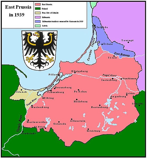
East Prussia 1939

|
Permission is granted to copy, distribute and/or modify this document under the terms of the GNU Free Documentation License, Version 1.2 or any later version published by the Free Software Foundation; with no Invariant Sections, no Front-Cover Texts, and no Back-Cover Texts. A copy of the license is included in the section entitled GNU Free Documentation License. |
| This file is licensed under the Creative Commons Attribution-Share Alike 3.0 Unported license. | ||
| ||
| This licensing tag was added to this file as part of the GFDL licensing update. |
derivative works
[edit]
Derivative works of this file: East Prussia 1923-1939 map-fr.svg
File history
Click on a date/time to view the file as it appeared at that time.
| Date/Time | Thumbnail | Dimensions | User | Comment | |
|---|---|---|---|---|---|
| current | 22:23, 24 March 2008 | | 752 × 808 (93 KB) | Renata3 (talk | contribs) | did not crop properly |
| 20:41, 24 March 2008 |  | 824 × 818 (94 KB) | Renata3 (talk | contribs) | cropped white space | |
| 22:30, 22 December 2006 |  | 824 × 818 (296 KB) | Electionworld (talk | contribs) | {{ew|en|Schwartz und Weiss}} East Prussia 1939 {{GFDL}} Category:Maps of East Prussia Category:Maps of the history of Poland Category:Maps of the history of Russia Category:Maps of the history of Germany [[Category:Maps of the history of L |
You cannot overwrite this file.
File usage on Commons
The following 14 pages use this file:
- Atlas of Lithuania
- Atlas of World War II
- Atlas of states of Germany
- File:East Prussia 1923-1939.png
- File:East Prussia 1923-1939.svg
- File:East Prussia 1923-1939 map-el.svg
- File:East Prussia 1923-1939 map-es.svg
- File:East Prussia 1923-1939 map-fr.svg
- File:East Prussia 1923-1939 map-nl.svg
- File:East Prussia 1923-1939 map-zh-hans.svg
- File:East Prussia 1923-1939 map hu.svg
- File:East Prussia 1939.JPG
- File:Ostpreußen hu 1923-1939.jpg
- Template:Other versions/East Prussia 1923-1939
File usage on other wikis
The following other wikis use this file:
- Usage on ar.wikipedia.org
- Usage on bat-smg.wikipedia.org
- Usage on be-tarask.wikipedia.org
- Usage on be.wikipedia.org
- Usage on de.wikipedia.org
- Usage on el.wikipedia.org
- Usage on en.wikipedia.org
- Usage on es.wikipedia.org
- Usage on et.wikipedia.org
- Usage on fi.wikipedia.org
- Usage on fr.wikipedia.org
- Usage on id.wikipedia.org
- Usage on incubator.wikimedia.org
- Usage on it.wikipedia.org
- Usage on lt.wikipedia.org
- Usage on lt.wikibooks.org
- Usage on pt.wikipedia.org
- Usage on ro.wikipedia.org
- Usage on ru.wikipedia.org
- Usage on zh.wikipedia.org