File:Comtats catalans s. VIII-XII (modificat).jpg
Jump to navigation
Jump to search

Size of this preview: 566 × 599 pixels. Other resolutions: 227 × 240 pixels | 453 × 480 pixels | 726 × 768 pixels | 967 × 1,024 pixels | 1,882 × 1,992 pixels.
Original file (1,882 × 1,992 pixels, file size: 656 KB, MIME type: image/jpeg)
Captions
Captions
Add a one-line explanation of what this file represents
Summary
[edit].jpg&action=edit§ion=1)
| Description |
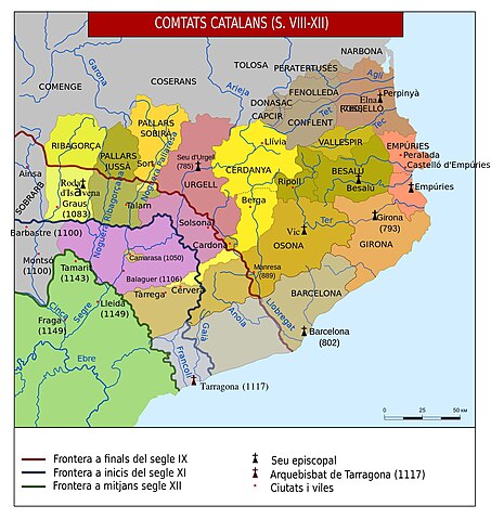
Català: Comtats catalans s. VIII-XII.svg (modificat) |
| Date | |
| Source | File:Comtats_catalans_s._VIII-XII.svg |
| Author |
Каталонские_графства_в_IX-XII_вв.svg: Nekto derivative work: Lliura (Discussió) |
Licensing
[edit].jpg&action=edit§ion=2)
| This file is made available under the Creative Commons CC0 1.0 Universal Public Domain Dedication. | |
| The person who associated a work with this deed has dedicated the work to the public domain by waiving all of their rights to the work worldwide under copyright law, including all related and neighboring rights, to the extent allowed by law. You can copy, modify, distribute and perform the work, even for commercial purposes, all without asking permission.
|
File history
Click on a date/time to view the file as it appeared at that time.
| Date/Time | Thumbnail | Dimensions | User | Comment | |
|---|---|---|---|---|---|
| current | 12:51, 5 November 2013 | | 1,882 × 1,992 (656 KB) | Pedraferit (talk | contribs) | User created page with UploadWizard |
You cannot overwrite this file.
File usage on Commons
The following page uses this file:
- File:Comtats catalans s. VIII-XII.svg (modificat).jpg (file redirect)
.jpg&redirect=no)
File usage on other wikis
The following other wikis use this file:
- Usage on ca.wikipedia.org
- Usage on el.wikipedia.org
- Usage on hu.wikipedia.org
- Usage on nl.wikipedia.org
Metadata
.jpg&oldid=939011828)
Categories:
- Maps of Catalan counties
- Maps of the County of Barcelona
- County of Empúries
- Roussillon
- County of Urgell
- Reconquista maps of the Iberian Peninsula
- Maps of the Iberian Peninsula in the 8th century
- Maps of the Iberian Peninsula in the 9th century
- Maps of 9th-century Spain
- Maps of the Iberian Peninsula in the 10th century
- Maps of 10th-century Spain
- Maps of the Iberian Peninsula in the 11th century
- Maps of 11th-century Spain
- Maps of the Iberian Peninsula in the 12th century
- Maps of 12th-century Spain