File:Angling in troubled waters- a serio-comic map of Europe. (IA bp 14539).pdf
Jump to navigation
Jump to search

Size of this JPG preview of this PDF file: 407 × 600 pixels. Other resolutions: 163 × 240 pixels | 326 × 480 pixels | 743 × 1,095 pixels.

Original file (743 × 1,095 pixels, file size: 5.23 MB, MIME type: application/pdf, 3 pages)
Captions
Captions
Add a one-line explanation of what this file represents
Summary
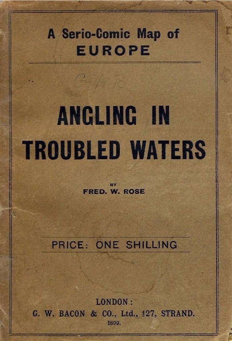
[edit]| Angling in troubled waters: a serio-comic map of Europe.
( |
|
|---|---|
| Title |
Angling in troubled waters: a serio-comic map of Europe. |
| Publisher |
G.W. Bacon & Co., London |
| Description |
Inset: Key map of Europe.;This map probably inspired the drawing of the map: L'Europe en Sept. 1939: [A serio comic map].;49 x 71 cm.;By Fred W. Rose author of the "Octopus" map of Europe. Subjects: Europe--Special category |
| Language | English |
| Publication date | 1899 |
| Current location |
IA Collections: wcw_gale; wcw; university_of_alberta_libraries; toronto |
| Accession number |
bp_14539 |
| Source | |
| Other versions | |


.jpg)


Licensing
[edit]|
This work is in the public domain in its country of origin and other countries and areas where the copyright term is the author's life plus 70 years or fewer. | |
| This file has been identified as being free of known restrictions under copyright law, including all related and neighboring rights. | |
File history
Click on a date/time to view the file as it appeared at that time.
| Date/Time | Thumbnail | Dimensions | User | Comment | |
|---|---|---|---|---|---|
| current | 12:21, 27 August 2021 |  | 743 × 1,095, 3 pages (5.23 MB) | Fæ (talk | contribs) | IA Query "collection:(wcw) date:[1000 TO 1899]" bp_14539 Category:William C. Wonders Map Collection (COM:IA books#query) (1899 #177) |
You cannot overwrite this file.
File usage on Commons
The following 7 pages use this file:
- File:1899 satirical map of Europe - Angling in troubled waters - by Fred W. rose.tiff
- File:Angling in Troubled Waters A Serio-Comic Map of Europe.jpg
- File:Angling in troubled waters- a serio-comic map of Europe. (IA bp 14539).pdf
- File:Angling in troubled waters = der fischfang im truben = la peche en eau trouble = la pesca nelle acque turbes - a serio-comic map of Europe (14028135563).jpg
- File:Angling in troubled waters – a serio-comic map of Europe - Kungliga Biblioteket - 2818247-thumb.png
- File:Angling in troubled waters – a serio-comic map of Europe - Kungliga Biblioteket - 2818247.tif
- File:Fred W Rose Angling in troubled waters.jpg
Metadata
Categories:
- William C. Wonders Map Collection
- 19th-century satirical maps
- 1899 maps of Europe
- 1899 political cartoons
- Political maps of Europe
- English-language maps of Europe
- Multilingual maps
- Quadrilingual English-French-German-Italian signs
- Fred. W. Rose
- Figurative maps
- Personifications of nations
- Caricatures of Abdül Hamid II
- Alfonso XIII of Spain (caricatures)
- Caricatures of Carlos de Borbón
- Carlos I of Portugal in art
- Caricatures of Franz Joseph I of Austria
- Danish Royal Family in 1899
- Caricatures of George I of Greece
- John Bull
- Leopold II of Belgium in cartoons
- Caricatures of Nicholas II of Russia
- Caricatures of Umberto I of Italy
- Caricatures of Pierre Waldeck-Rousseau
- Caricatures of Wilhelm II of Germany
- Wilhelmina of the Netherlands in art