Category:Postcode maps covering the East of England
Jump to navigation
Jump to search
Media in category "Postcode maps covering the East of England"
The following 18 files are in this category, out of 18 total.
-
AL postcode area map.svg 1,000 × 800; 204 KB
-
CB postcode area map.svg 1,000 × 1,000; 502 KB
-
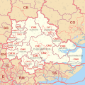
CM postcode area map.svg 1,000 × 1,000; 1.32 MB
-
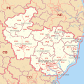
CO postcode area map.svg 1,000 × 800; 471 KB
-
E postcode area map.svg 600 × 1,000; 395 KB
-
EN postcode area map.svg 1,000 × 800; 263 KB
-
HA postcode area map.svg 1,000 × 1,000; 269 KB
-
HP postcode area map.svg 1,000 × 800; 626 KB
-
IG postcode area map.svg 700 × 1,000; 299 KB
-
IP postcode area map.svg 1,000 × 1,000; 1 MB
-
LU postcode area map.svg 1,000 × 600; 160 KB
-
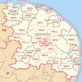
NR postcode area map.svg 1,000 × 1,000; 566 KB
-
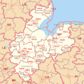
PE postcode area map.svg 1,000 × 1,000; 1.42 MB
-
RM postcode area map.svg 1,000 × 1,000; 401 KB
-
SG postcode area map.svg 700 × 1,000; 584 KB
-
SS postcode area map.svg 1,000 × 500; 225 KB
-
WD postcode area map.svg 1,000 × 700; 234 KB
-
WD Postcode Map.jpg 6,840 × 4,498; 837 KB


