Category:Maps of weather in 2007
Jump to navigation
Jump to search
Please sort by date, if specified
[[Maps of weather in 2007|MMDDhhmm]](in UTC)- take
*for complete year,MM-MMorMMDD-DDfor spans
Subcategories
This category has only the following subcategory.
Media in category "Maps of weather in 2007"
The following 24 files are in this category, out of 24 total.
-
STMeurope018 MO.jpg 1,280 × 866; 386 KB
-
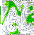
NGM 700 MB zoom REX BLOCK fr.png 664 × 687; 110 KB
-
NGM 700 MB.PNG 1,280 × 1,024; 176 KB
-
Noreasterwv.gif 720 × 480; 4.75 MB
-
Fullloopnoreaster.gif 300 × 250; 15.5 MB
-
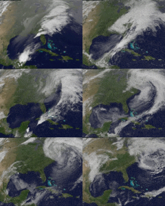
Strongnoreaster.gif 720 × 480; 3.93 MB
-
0704161533G12I01mod.jpg 2,592 × 2,756; 1.62 MB
-
0704161533G12I01mod2.jpg 2,592 × 2,756; 4.85 MB
-
Tstorms5m3a1245z-2332z.gif 432 × 311; 5.19 MB
-
Saharan Dust Crosses the Atlantic.jpg 540 × 703; 108 KB
-
Europe C Current.jpg 1,074 × 512; 147 KB
-
Middle East C Current.jpg 1,074 × 512; 204 KB
-
North America C Current.jpg 1,074 × 512; 157 KB
-
Jet Stream Rigs Apart Flossie 2.jpg 575 × 575; 50 KB
-
Temp Outlook 6-10day 081207.gif 719 × 668; 25 KB
-
Wakelowimage zoom.png 409 × 442; 249 KB
-
Wakelowimage.JPG 670 × 734; 480 KB
-
AfricaRain TRM 2007264.jpg 540 × 600; 132 KB
-
Globalndvi tmo 200711 lrg.jpg 3,600 × 1,800; 2.17 MB
-
Sea Surface Temperature - November 2007.jpg 1,440 × 720; 669 KB
-
Colorado low circulation.png 1,280 × 1,024; 169 KB
-
Dec 2007 PNW rainfall.jpg 640 × 360; 336 KB
-
January 2007 western US freeze.gif 303 × 420; 57 KB
-
World C Current.jpg 1,074 × 512; 153 KB


