Category:Maps of the Isle of Lewis
Jump to navigation
Jump to search
Subcategories
This category has the following 3 subcategories, out of 3 total.
Media in category "Maps of the Isle of Lewis"
The following 23 files are in this category, out of 23 total.
-
"Leogus et Haraia insulae ex Aebudarum numero." (21636250514).jpg 4,068 × 3,066; 2.1 MB
-
Admiralty Chart No 1154 Lochs Erisort Leurbost and Grimshader, Published 1888.jpg 16,276 × 11,265; 32.57 MB
-
Admiralty Chart No 1794 Rubha Hunish to Point of Stoer, Published 1957.jpg 9,851 × 6,811; 23.43 MB
-
Admiralty Chart No 2386 Scotland N. Coast Cape Wrath to the Flannan Isles, Published 1898.jpg 12,886 × 8,358; 13.85 MB
-
Admiralty Chart No 3422 East Loch Roag, Published 1904.jpg 11,246 × 20,808; 80.34 MB
-
Admiralty Chart No 512 Approaches to Stornoway, Published 1895.jpg 10,791 × 7,973; 29.71 MB
-
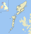
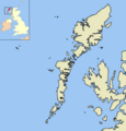
Isle of Lewis on map of United Kingdom.png 200 × 230; 3 KB
-
Lewis OH.svg 1,083 × 1,424; 2.36 MB
-
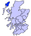
Lewis scotland.PNG 648 × 584; 20 KB
-
North part of the Lewis and part of Mainland Scotland Mackenzie 85449289.jpg 11,376 × 9,934; 18.4 MB
-
North part of the Lewis Mackenzie 85449286.jpg 9,491 × 7,070; 12.3 MB
-
Ordnance Survey One-Inch Sheet 12 Isle of Lewis and North Harris, Published 1959.jpg 8,283 × 9,887; 9.42 MB
-
Ordnance Survey One-Inch Sheet 13 Loch Roag & Tarbert, Published 1947.jpg 8,685 × 12,595; 12.68 MB
-
Ordnance Survey One-Inch Sheet 14 Stornoway, Published 1948.jpg 9,924 × 12,548; 11.05 MB
-
Ordnance Survey One-Inch Sheet 18 Harris, Published 1960.jpg 8,276 × 9,846; 8.43 MB
-
Ordnance Survey One-Inch Sheet 8 Lewis (Stornoway), Published 1960.jpg 8,269 × 9,867; 7.55 MB
-
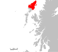
Outerhebrideslewis.png 513 × 577; 72 KB
-
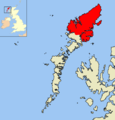
Outerhebrideslewis2.png 1,500 × 1,562; 118 KB
-
Outerhebridesplain.png 1,500 × 1,562; 117 KB
-
South East Coast of the Lewis Mackenzie 85449292.jpg 9,864 × 11,241; 15.47 MB
-
The Lewis or north part of Long Island Mackenzie 74400899.jpg 9,046 × 7,418; 11.51 MB
-
UK Lewis.PNG 648 × 584; 20 KB


