Category:Maps of the Borough of Gravesham
Jump to navigation
Jump to search
Media in category "Maps of the Borough of Gravesham"
The following 12 files are in this category, out of 12 total.
-
 Gravesend unparished area UK locator map.svg 1,055 × 1,266; 305 KB
-
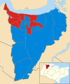 Gravesham UK local election 2003 map.svg 1,055 × 1,266; 347 KB
-
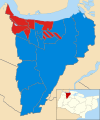 Gravesham UK local election 2007 map.svg 1,055 × 1,266; 350 KB
-
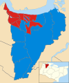 Gravesham UK local election 2011 map.svg 1,055 × 1,266; 347 KB
-
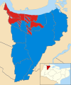 Gravesham UK local election 2015 map.svg 1,055 × 1,266; 350 KB
-
 Gravesham UK local election 2019 map.svg 1,055 × 1,266; 351 KB
-
 Gravesham UK locator map.svg 1,425 × 1,000; 1.18 MB
-
 Gravesham UK parish map 2011 (blank).svg 1,055 × 1,266; 307 KB
-
 Gravesham UK ward map 2010 (blank).svg 1,055 × 1,266; 347 KB
-
 Gravesham ward map 2023.png 761 × 933; 90 KB
-
 KentGravesham.png 200 × 135; 12 KB
-
 KentGravesham.svg 201 × 136; 10 KB


.svg)
.svg)