Category:Maps of municipalities in the district of St. Gallen
Jump to navigation
Jump to search
Subcategories
This category has the following 3 subcategories, out of 3 total.
Media in category "Maps of municipalities in the district of St. Gallen"
The following 10 files are in this category, out of 10 total.
-
 Karte Gemeinden des Wahlkreis St. Gallen 2007.png 1,476 × 1,080; 346 KB
-
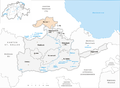
 Karte Gemeinde Andwil 2007.png 1,476 × 1,080; 346 KB
-
 Karte Gemeinde Eggersriet 2007.png 1,476 × 1,080; 347 KB
-
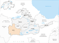
 Karte Gemeinde Gaiserwald 2007.png 1,476 × 1,080; 347 KB
-
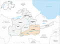
 Karte Gemeinde Gossau SG 2007.png 1,476 × 1,080; 347 KB
-
 Karte Gemeinde Häggenschwil 2007.png 1,476 × 1,080; 347 KB
-
 Karte Gemeinde Muolen 2007.png 1,476 × 1,080; 346 KB
-
 Karte Gemeinde St. Gallen 2007.png 1,476 × 1,080; 348 KB
-
 Karte Gemeinde Waldkirch 2007.png 1,476 × 1,080; 347 KB
-
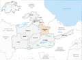 Karte Gemeinde Wittenbach 2007.png 1,476 × 1,080; 347 KB


