Category:Maps about the COVID-19 pandemic in Germany
Jump to navigation
Jump to search
Media in category "Maps about the COVID-19 pandemic in Germany"
The following 20 files are in this category, out of 20 total.
-
Corona Outbreak Germany Animation.gif 608 × 805; 2.49 MB
-
COVID-19 contact and exit restrictions in Germany, April 2020.svg 592 × 801; 111 KB
-
COVID-19 Germany - Cases per capita (last 14 days).svg 512 × 715; 201 KB
-
COVID-19 Germany - Cases per capita.svg 512 × 715; 192 KB
-
COVID-19 Germany 7-day prevalence per capita (timeline).webm 1 min 54 s, 921 × 921; 3.22 MB
-
COVID-19 outbreak Berlin per capita cases map.svg 1,304 × 1,081; 22 KB
-
COVID-19 Outbreak Cases in Germany (Density).svg 1,333 × 1,813; 197 KB
-
COVID-19 Outbreak Cases in Germany (Pop Density).svg 1,333 × 1,813; 195 KB
-
COVID-19 Outbreak Cases in Germany Kreise.svg 947 × 1,253; 772 KB
-
COVID-19 Outbreak Cases in Germany.svg 1,333 × 1,813; 197 KB
-
COVID-19 outbreak Germany per capita cases map.svg 1,440 × 1,955; 1.13 MB
-
COVID-19 regulations Germany.svg 592 × 801; 111 KB
-
COVID-19 spread in Germany (27 February to 22 March 2020).gif 947 × 1,253; 3.87 MB
-
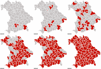
COVID-19-Spread-In-Bavaria.gif 487 × 500; 438 KB
-
COVID-19-Spread-in-Brandenburg-0301-0320.gif 500 × 400; 104 KB
-
COVID-19-Spread-In-Lower-Saxony.gif 500 × 447; 94 KB
-
COVID-19-Spread-In-Mecklenburg-Vorpommern-0301-0318.gif 470 × 381; 17 KB
-
COVID-19-Spread-In-North-Rhine-Westphalia-0223-0316.gif 500 × 469; 111 KB
-
Visa requirements for German citizens (COVID-19 pandemic).png 1,427 × 625; 47 KB


