Category:Locator maps of neighborhoods in Roosendaal
Jump to navigation
Jump to search
Media in category "Locator maps of neighborhoods in Roosendaal"
The following 69 files are in this category, out of 69 total.
-
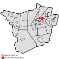 Map - NL - Roosendaal - Wijk 00 Centrum - Buurt 00 Centrum-Oud.svg 375 × 375; 38 KB
-
 Map - NL - Roosendaal - Wijk 00 Centrum - Buurt 01 Centrum-Nieuw.svg 375 × 375; 38 KB
-
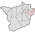
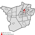 Map - NL - Roosendaal - Wijk 00 Centrum - Buurt 02 Stationsbuurt.svg 375 × 375; 38 KB
-
 Map - NL - Roosendaal - Wijk 00 Centrum - Buurt 03 Vrouwenhof.svg 375 × 375; 38 KB
-
 Map - NL - Roosendaal - Wijk 00 Centrum.svg 625 × 575; 14 KB
-
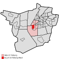
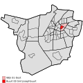 Map - NL - Roosendaal - Wijk 01 Oost - Buurt 00 Sint Josephbuurt.svg 375 × 375; 38 KB
-
 Map - NL - Roosendaal - Wijk 01 Oost - Buurt 01 Fatima-Villapark.svg 375 × 375; 38 KB
-
 Map - NL - Roosendaal - Wijk 01 Oost - Buurt 02 Keijenburg.svg 375 × 375; 38 KB
-
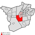
 Map - NL - Roosendaal - Wijk 01 Oost.svg 625 × 575; 14 KB
-

-

-
 Map - NL - Roosendaal - Wijk 02 Noord - Buurt 02 Kalsdonk.svg 375 × 375; 38 KB
-
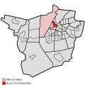
 Map - NL - Roosendaal - Wijk 02 Noord - Buurt 09 Nieuwenberg.svg 375 × 375; 38 KB
-
 Map - NL - Roosendaal - Wijk 02 Noord.svg 625 × 575; 14 KB
-

-
 Map - NL - Roosendaal - Wijk 03 West - Buurt 01 Herreweg.svg 375 × 375; 38 KB
-
 Map - NL - Roosendaal - Wijk 03 West - Buurt 02 Ettingen.svg 375 × 375; 38 KB
-
 Map - NL - Roosendaal - Wijk 03 West - Buurt 03 Scherpdeel.svg 375 × 375; 38 KB
-
 Map - NL - Roosendaal - Wijk 03 West - Buurt 09 Vroenhout.svg 375 × 375; 38 KB
-
 Map - NL - Roosendaal - Wijk 03 West.svg 625 × 575; 14 KB
-

-

-

-
-
-

-

-
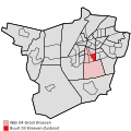
 Map - NL - Roosendaal - Wijk 04 Groot Kroeven.svg 625 × 575; 14 KB
-
 Map - NL - Roosendaal - Wijk 05 Langdonk - Buurt 00 Bovendonk.svg 375 × 375; 38 KB
-
-

-
 Map - NL - Roosendaal - Wijk 05 Langdonk - Buurt 09 Vierhoeven.svg 375 × 375; 38 KB
-
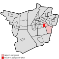
 Map - NL - Roosendaal - Wijk 05 Langdonk.svg 625 × 575; 14 KB
-
-

-

-
 Map - NL - Roosendaal - Wijk 06 Kortendijk - Buurt 03 Landerije.svg 375 × 375; 38 KB
-

-
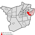
 Map - NL - Roosendaal - Wijk 06 Kortendijk.svg 625 × 575; 14 KB
-
 Map - NL - Roosendaal - Wijk 07 Tolberg - Buurt 00 Hulsdonk.svg 375 × 375; 38 KB
-
 Map - NL - Roosendaal - Wijk 07 Tolberg - Buurt 01 Tolberg-Oost.svg 375 × 375; 38 KB
-

-
 Map - NL - Roosendaal - Wijk 07 Tolberg - Buurt 03 Tolberg-West.svg 375 × 375; 38 KB
-
 Map - NL - Roosendaal - Wijk 07 Tolberg - Buurt 05 Weihoek-Oost.svg 375 × 375; 38 KB
-
 Map - NL - Roosendaal - Wijk 07 Tolberg - Buurt 06 Weihoek-West.svg 375 × 375; 38 KB
-
 Map - NL - Roosendaal - Wijk 07 Tolberg - Buurt 09 Haiink.svg 375 × 375; 38 KB
-
 Map - NL - Roosendaal - Wijk 07 Tolberg.svg 625 × 575; 14 KB
-
-

-

-

-

-
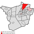
 Map - NL - Roosendaal - Wijk 08 Industriegebieden.svg 625 × 575; 14 KB
-
 Map - NL - Roosendaal - Wijk 10 Nispen - Buurt 00 Nispen.svg 375 × 375; 38 KB
-

-
 Map - NL - Roosendaal - Wijk 10 Nispen.svg 625 × 575; 14 KB
-
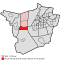
 Map - NL - Roosendaal - Wijk 11 Wouw - Buurt 00 Wouw.svg 375 × 375; 38 KB
-

-
-
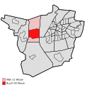
 Map - NL - Roosendaal - Wijk 11 Wouw.svg 625 × 575; 14 KB
-
 Map - NL - Roosendaal - Wijk 12 Heerle - Buurt 00 Heerle.svg 375 × 375; 38 KB
-

-
 Map - NL - Roosendaal - Wijk 12 Heerle.svg 625 × 575; 14 KB
-

-

-
 Map - NL - Roosendaal - Wijk 13 Moerstraten.svg 625 × 575; 14 KB
-

-

-
 Map - NL - Roosendaal - Wijk 14 Wouwse Plantage.svg 625 × 575; 14 KB


