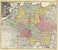
Category:18th-century maps of the Holy Roman Empire
Jump to navigation
Jump to search
Subcategories
This category has the following 17 subcategories, out of 17 total.
Media in category "18th-century maps of the Holy Roman Empire"
The following 2 files are in this category, out of 2 total.
-
The Upper Rhine region, with Alsace on the left bank..jpg 1,685 × 2,187; 2.73 MB

