User:Nilfanion/Maps/Counties

From Wikimedia Commons, the free media repository
Jump to navigation Jump to search

England

[edit]

206 uploaded Most now uploaded, major exclusions are constituency maps - due to occasionally crossing ceremonial county borders (eg in the former Humberside)

County District map Parish map Constituency map Electoral Division map Ward map
Bedfordshire File:Bedfordshire UK electoral division map (blank).svg
Berkshire File:Berkshire UK electoral division map (blank).svg
Bristol File:Bristol UK parish map (blank).svg File:Bristol UK electoral division map (blank).svg
Buckinghamshire
Cambridgeshire
Cheshire File:Cheshire UK electoral division map (blank).svg
Cornwall File:Cornwall UK parish map (blank).svg File:Cornwall UK constituency map (blank).svg File:Cornwall UK electoral division map (blank).svg File:Cornwall UK ward map (blank).svg
Cornwall (without Isles of Scilly) File:Cornwall UK mainland ward map (blank).svg
County Durham File:Durham UK constituency map (blank).svg File:Durham UK electoral division map (blank).svg
Cumbria
Derbyshire
Devon
Dorset
East Riding of Yorkshire File:East Riding of Yorkshire UK constituency map (blank).svg File:East Riding of Yorkshire UK electoral division map (blank).svg
East Sussex
Essex
Gloucestershire
Greater London File:Greater London UK parish map (blank).svg
Greater Manchester File:Greater Manchester UK electoral division map (blank).svg
Hampshire
Herefordshire File:Herefordshire UK electoral division map (blank).svg
Hertfordshire
Isle of Wight File:Isle of Wight UK constituency map (blank).svg File:Isle of Wight UK electoral division map (blank).svg
Kent
Lancashire
Leicestershire File:Leicestershire UK constituency map (blank).svg
Lincolnshire File:Lincolnshire UK constituency map (blank).svg
Merseyside File:Merseyside UK electoral division map (blank).svg
Norfolk
North Yorkshire File:North Yorkshire UK constituency map (blank).svg
Northamptonshire
Northumberland File:Northumberland UK ward map (blank).svg
Nottinghamshire
Oxfordshire
Rutland File:Rutland UK constituency map (blank).svg File:Rutland UK electoral division map (blank).svg
Shropshire File:Shropshire UK electoral division map (blank).svg
Somerset
South Yorkshire File:South Yorkshire UK electoral division map (blank).svg
Staffordshire
Suffolk
Surrey
Tyne and Wear File:Tyne and Wear UK electoral division map (blank).svg
Warwickshire
West Midlands File:West Midlands UK electoral division map (blank).svg
West Sussex
West Yorkshire File:West Yorkshire UK electoral division map (blank).svg
Wiltshire File:Wiltshire UK electoral division map (blank).svg
Worcestershire

Wales

[edit]

Constituencies skipped for now - due to generally crossing borders.

66 of 88 uploaded (25% completed)

Unitary Authority Area map Community map Constituency map Ward map
Blaenau Gwent File:Blaenau Gwent UK constituency map (blank).svg
Bridgend File:Bridgend UK constituency map (blank).svg
Caerphilly File:Caerphilly UK constituency map (blank).svg
Cardiff File:Cardiff UK constituency map (blank).svg
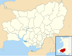
Carmarthenshire File:Carmarthenshire UK constituency map (blank).svg
Ceredigion File:Ceredigion UK constituency map (blank).svg
Conwy File:Conwy UK constituency map (blank).svg
Denbighshire File:Denbighshire UK constituency map (blank).svg
Flintshire
Gwynedd
Isle of Anglesey File:Isle of Anglesey UK constituency map (blank).svg
Merthyr Tydfil File:Merthyr Tydfil UK constituency map (blank).svg
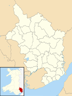
Monmouthshire File:Monmouthshire UK constituency map (blank).svg
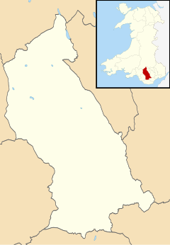
Neath Port Talbot
Newport File:Newport UK constituency map (blank).svg
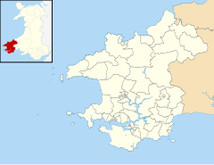
Pembrokeshire File:Pembrokeshire UK constituency map (blank).svg
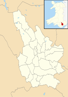
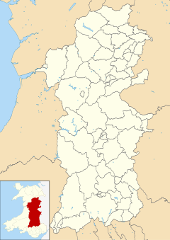
Powys
Rhondda Cynon Taf File:Rhondda Cynon Taf UK constituency map (blank).svg
Swansea
Torfaen File:Torfaen UK constituency map (blank).svg ]
Vale of Glamorgan File:Vale of Glamorgan UK constituency map (blank).svg ]
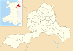
Wrexham County Borough File:Wrexham UK constituency map (blank).svg

Scotland

[edit]

Only including Westminster constituencies for now, will upload Holyrood constituencies (if different) later.

32 of 96 uploaded (33% completed)

Council Area Area map Constituency map Ward map
Aberdeen File:Aberdeen UK constituency map (blank).svg
Aberdeenshire File:Aberdeenshire UK constituency map (blank).svg
Angus File:Angus UK constituency map (blank).svg
Argyll and Bute File:Argyll and Bute UK constituency map (blank).svg
Clackmannanshire File:Clackmannanshire UK constituency map (blank).svg
Dumfries and Galloway File:Dumfries and Galloway UK constituency map (blank).svg
Dundee File:Dundee UK constituency map (blank).svg
East Ayrshire File:East Ayrshire UK constituency map (blank).svg
East Dunbartonshire File:East Dunbartonshire UK constituency map (blank).svg
East Lothian File:East Lothian UK constituency map (blank).svg
East Renfrewshire File:East Renfrewshire UK constituency map (blank).svg
Edinburgh
Falkirk File:Falkirk UK constituency map (blank).svg
Fife
Glasgow
Highland
Inverclyde File:Inverclyde UK constituency map (blank).svg
Midlothian File:Midlothian UK constituency map (blank).svg
Moray File:Moray UK constituency map (blank).svg
North Ayrshire File:North Ayrshire UK constituency map (blank).svg
North Lanarkshire File:North Lanarkshire UK constituency map (blank).svg
Orkney File:Orkney Islands UK constituency map (blank).svg
Outer Hebrides File:Outer Hebrides UK constituency map (blank).svg
Perth and Kinross File:Perth and Kinross UK constituency map (blank).svg
Renfrewshire File:Renfrewshire UK constituency map (blank).svg
Scottish Borders File:Scottish Borders UK constituency map (blank).svg
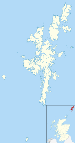
Shetland File:Shetland UK constituency map (blank).svg
South Ayrshire File:South Ayrshire UK constituency map (blank).svg
South Lanarkshire File:South Lanarkshire UK constituency map (blank).svg
Stirling File:Stirling UK constituency map (blank).svg
West Dunbartonshire File:West Dunbartonshire UK constituency map (blank).svg
West Lothian File:West Lothian UK constituency map (blank).svg