User:Mahagaja/Gallery/Location maps of U.S. towns
< User:Mahagaja | Gallery
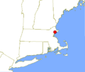
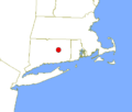
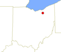
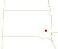
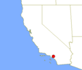
Technically, the author of these images is the United States Census Bureau, but I was the one who entered the coordinates in their website to produce the red dots and adjusted the edges of the maps to center them on the state.
-
Beverly, Massachusetts
-
Brentwood, California
-
Bryn Mawr, Pennsylvania
-
Columbia, Connecticut
-
Cortland, New York
-
Erving's Location, New Hampshire
-
Hinckley Township, Ohio
-
Kiryas Joel, New York
-
Laurent, South Dakota
-
La Verne, California
-
Monsey, New York
-
Peekskill, New York
-
Peoria, Illinois
-
Placentia, California
-
Poughkeepsie, New York
-
San Luis Obispo, California
-
Selma, Alabama
-
Serbin, Texas
-
Tarpon Springs, Florida
-
Warwick, Rhode Island
-
White Plains, New York
-
Zzyzx, California
