User:Giftzwerg 88/Fotoprojekt Stuttgart-Vaihingen
Jump to navigation
Jump to search
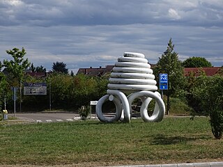
Kreisel Zusestraße
[edit]| Object location | | View all coordinates using: OpenStreetMap |
|---|
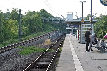
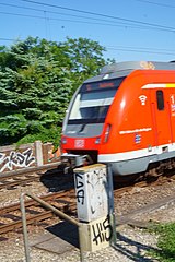
S-Bahnstation Österfeld
[edit]| Object location | | View all coordinates using: OpenStreetMap |
|---|
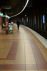
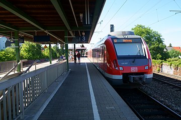
S-Bahn-Station Universität
[edit]| Object location | | View all coordinates using: OpenStreetMap |
|---|
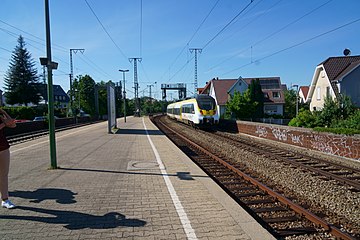
S-Bahn Station Rohr
[edit]| Object location | | View all coordinates using: OpenStreetMap |
|---|
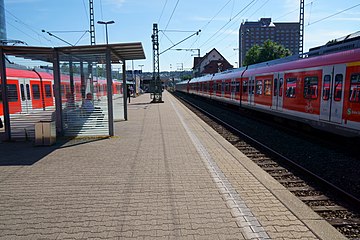
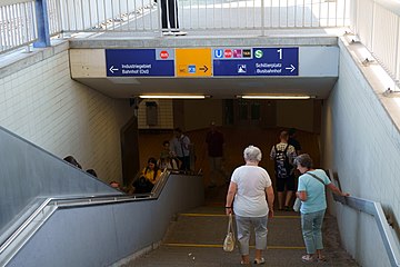
Bahnhof Stuttgart Vaihingen
[edit]| Object location | | View all coordinates using: OpenStreetMap |
|---|
Vaihingen Schillerplatz
[edit]| Object location | | View all coordinates using: OpenStreetMap |
|---|
Stuttgarter Engineering Park (STEP)
[edit]| Object location | | View all coordinates using: OpenStreetMap |
|---|
