User:Dr Greg
Jump to navigation
Jump to search
| Userboxes | ||||
|---|---|---|---|---|
|
| Babel user information |
|---|
| Users by language |
The galleries below are valid only up to June 2015. For files uploaded after then see Special:ListFiles for user Dr Greg.
My photographs
[edit]-
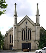
Winckley Sq Convent School, Preston
-
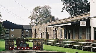
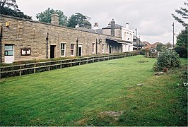
Preston railway station - site of E Lancs platforms
-
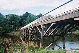
Old Tram Bridge, Preston
-
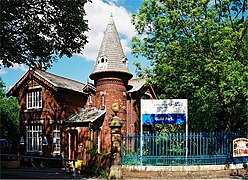
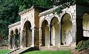
Belvedere, Avenham Park, Preston
-
Parlick
-
Longridge Fell
-
Longridge Fell and Pendle Hill
-
Pendle Hill above mist[4]
-
St Walburge's Church, Preston
-
Beacon Fell, Lancashire
-
Longridge railway station
-
Longridge railway station
-
Towneley Arms Hotel, Longridge
-
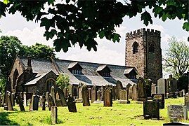
St James' Church, Whitechapel
-
St Bartholomew's Church, Chipping
-
Tramway bridge, Garden St, Preston
-
The Harris Museum, Preston
-
Fair Snape Fell, Forest of Bowland, Lancashire
-
Fair Snape Fell and Parlick, Forest of Bowland, Lancashire
-
Site of Grimsargh railway station
-
Ribbleton railway station
-
The Plough, Grimsargh
-
Whittingham Hospital North Lodge
-
Goosnargh Parish Church
-
Garstang Cross and the Royal Oak Hotel
-
Garstang Town Hall from High Street
-
Garstang Cross and Market Place
-
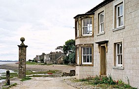
Sunderland Point
-
Sunderland, Lancashire
-
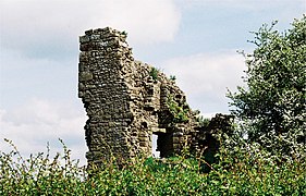
Greenhalgh Castle
-
Greenhalgh Castle
-
Kirkham & Wesham railway station
-
Garstang & Knot-End Railway junction
-
Halton railway station, Lancashire
-
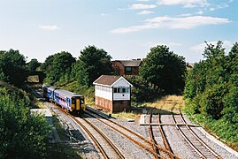
Garstang and Catterall railway station
-
Crook o' Lune bridge
-
Orme Sight by Thompson Dagnall
-
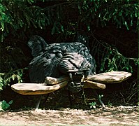
Black Tiger and Kissing Seat by Thompson Dagnall
-
Walking Snake by Thompson Dagnall
-
Hanging Bat by Thompson Dagnall
-
Sunderland, Lancashire
-
Poulton-le-Fylde Junction
-
Chorley cake and Eccles cake
-
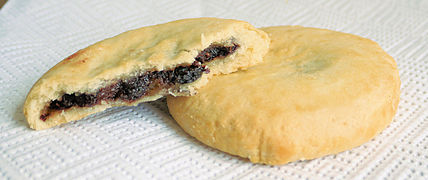
Chorley cakes
-
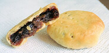
Eccles cakes
-
Church of St George the Martyr, Preston
-
The former St Paul's Church, Preston
-
27 Winckley Square, Preston
-
Waterstone's bookshop, Preston
-
Deepdale Hall
-
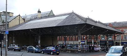
Preston Fish Market
-
Preston Guild Hall
-
Miller Park, Preston
My diagrams
[edit]UK region maps
[edit]-
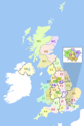
NUTS 1 statistical regions of the United Kingdom map
-
English regions 2009
-
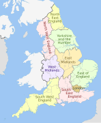
English regions 2009 (named)
-
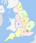
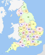
:English regions 2009 (numbered)
-
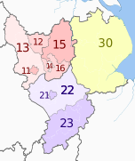
East of England counties 2009 map
-
East Midlands counties 2009 map
-
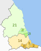
North East England counties 2009 map
-
North West England counties 2009 map
-
South East England counties 2009 map
-
South West England counties 2009 map
-
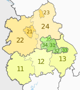
West Midlands counties 2009 map
-
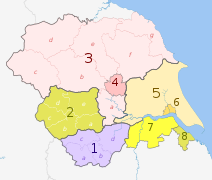
Yorkshire and the Humber counties 2009 map.
-
Greater London boroughs 2009 map
-
NUTS 1 statistical regions of England map
-
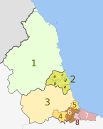
NUTS 3 regions of North East England map
-
NUTS 3 regions of North West England map
-
NUTS 3 regions of North West England 2010 map
-
NUTS 3 regions of North West England 2015 map
-
NUTS 3 regions of Yorkshire and the Humber map
-
NUTS 3 regions of the East Midlands map
-
NUTS 3 regions of the East Midlands 2010 map
-
NUTS 3 regions of the West Midlands map
-
NUTS 3 regions of the East of England map
-
NUTS 3 regions of the East of England 2015 map
-
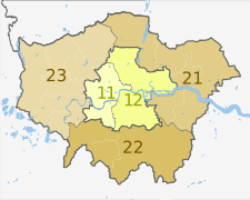
NUTS 3 regions of London map
-
NUTS 3 regions of London 2015 map
-
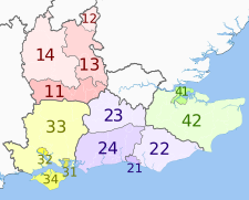
NUTS 3 regions of South East England map
-
NUTS 3 regions of South East England 2015 map
-
NUTS 3 regions of South West England map
-
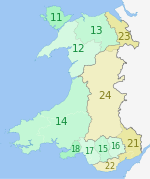
NUTS 3 regions of Wales map.svg
-
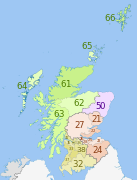
NUTS 3 regions of Scotland map
-
NUTS 3 regions of Northern Ireland map
-
NUTS 3 regions of central and southern Scotland map
-
NUTS 2 statistical regions of the United Kingdom map
-
NUTS 2 statistical regions of the United Kingdom 2015 map.
English county maps
[edit]-
English ceremonial counties 2010 (multi-coloured)
-
England counties 1851 (multi-coloured)
-
English counties 1851
-
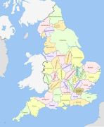
English counties 1851 with ridings
-
English counties 1851 (named)
-
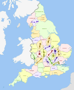
English counties 1851 (numbered)
-
English geographical counties 1889
-
English geographical counties 1889 with ridings
-
English geographical counties 1889 with ridings (numbered)
-
English geographical counties 1889 (named)
-
English administrative counties 1889 (numbered)
-
English geographical counties 1965
-
English geographical counties 1965 with ridings.svg
-
English geographical counties 1965 (named)
-
English administrative counties 1965 (numbered)
-
English counties 1974
-
English counties 1974 (named)
-
English counties 1974 (numbered)
-
English ceremonial counties 1996
-
English metropolitan and non-metropolitan counties 1996
-
English ceremonial counties 1997
-
English metropolitan and non-metropolitan counties 1997
-
English ceremonial counties 1998
-
English ceremonial counties 1998 (named)
-
English ceremonial counties 1998 (numbered)
-
English metropolitan and non-metropolitan counties 1998
-
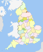
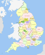
English metropolitan and non-metropolitan counties 2009
-
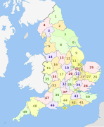
English metropolitan and non-metropolitan counties 2009 (numbered)
-
English administrative divisions 2009
-
English metropolitan and non-metropolitan counties by type 2009
-
English administrative divisions by type 2009
-
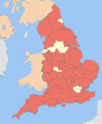
English non-metropolitan counties 2009
-
English non-metropolitan districts 2009
-
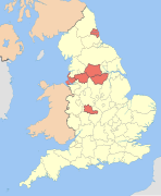
English metropolitan counties 2009
-
English metropolitan boroughs 2009
-
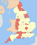
English unitary authorities 2009
-
English regions and counties by type 2009
-
British postcode areas and former postal counties.svg
-
British former postal counties (numbered)
-
Middlesex former postal county
-
North Humberside former postal county
-
South Humberside former postal county
-
Yorkshire UK 1851 locator map
Lancashire maps
[edit]-
Forest of Bowland
-
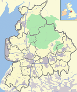
Forest of Bowland, labelled
-
Lancashire (faded boundaries)
-
Rivers of Lancashire
-
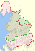
Historical and current boundaries of Lancashire
-
Lancashire hundreds
-
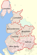
Lancashire hundreds (labelled)
-
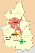
Preston parishes
-
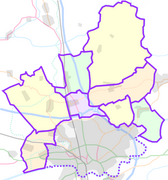
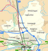
Places in Preston
-
Map of Preston
-
Topography of Lancashire
-
Blackpool in Lancashire
-
Blackburn with Darwen in Lancashire
-
City of Preston topography
-
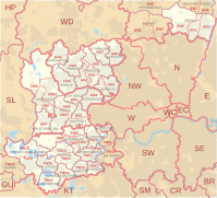
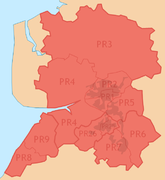
PR postcode area
-
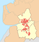
Preston (unparished area) locator map
-
City of Preston (local government district) locator map
-
Preston (sub-division of Preston Urban Area) locator map
-
Preston Urban Area locator map
-
PRESTON (post town) locator map
-
PR postcode area locator map
-
Preston Urban Area within Central Lancashire
-
File:Preston Travel to Work Area 2007
-
Fulwood in City of Preston wards 2010
-
Preston and Fulwood in 1950
-
Lancashire parish map
-
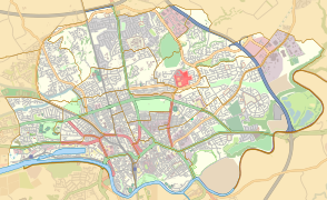
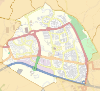
Location map United Kingdom Preston central
-
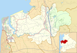
Location map United Kingdom City of Preston
-
Location map United Kingdom Preston
-
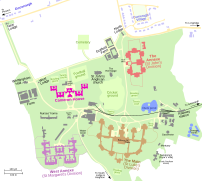
Map of Whittingham Hospital
-
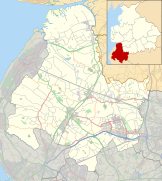
Location map United Kingdom Borough of Wyre
-
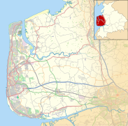
Location map United Kingdom Borough of Fylde
-
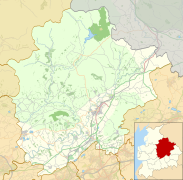
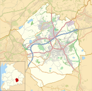
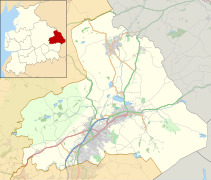
Location map United Kingdom Borough of Ribble Valley
-
Location map United Kingdom City of Lancaster
-
Location map United Kingdom Lancaster
-
Location map United Kingdom Morecambe
-
Location map United Kingdom Borough of South Ribble
-
Location map United Kingdom Borough of West Lancashire
-
Location map United Kingdom Borough of Chorley
-
Location map United Kingdom Blackburn with Darwen
-
Location map United Kingdom Borough of Hyndburn
-
Location map United Kingdom Borough of Rossendale
-
Location map United Kingdom Borough of Burnley
-
Location map United Kingdom Borough of Pendle
-
Location map United Kingdom Blackpool
-
Location map United Kingdom The Fylde
-
Location map United Kingdom Blackburn
-
Location map United Kingdom Blackburn central
-
Location map United Kingdom Burnley
-
Location map United Kingdom Lytham St Annes
-
Location map United Kingdom Burnley central
-
Location map United Kingdom Skelmersdale
Railway maps
[edit]-
Preston railway station 1926
-
Preston railway station 1926
-
Preston railway station 1850
-
Preston railway station 2008
-
East Lancashire Railway route map
-
East Lancashire Railway route map
-
Railways in Poulton-le-Fylde
-
Maudlands railway map 1849
-
Maudlands railway map 1892
-
Maudlands railway map 2012
-
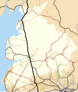
Lancashire railway map
-
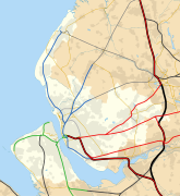
Merseyrail map 2010
-
Around Liverpool railway map 1921.svg
-
Greater Manchester railway map 2014
-
Around Manchester railway map 1921
-
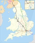
Map of Network Rail Strategic Routes in England and Wales 2014.svg
Other
[edit]-
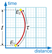
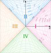
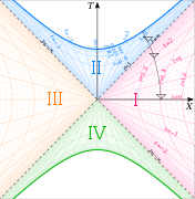
Proper and coordinate time
-
Rindler chart
-
Modified Rindler chart
-
Kruskal diagram of Schwarzschild chart
Complete list
[edit]A complete list of all my uploads is here.
Publication outside Wikipedia projects
[edit]- ↑ 2009-03-23 "Sacked City lawyer launches £5million sex abuse case against Catholic school blasted by TV soccer pundit", Daily Mail
- ↑ 2009-03-24 "'Sexual abuse at Jesuit school wrecked my life', claims top City lawyer in £5m High Court action", Daily Mail
- ↑ 2009-05-25 "Former lawyer wins right to sue Jesuit school for £5m over sex abuse 33 years ago", Daily Mail
- ↑ 2008-02-19 "The Pendle Witches: England's Most Famous Witchcraft Trial", Associated Content
- ↑ 2009-06-20 "Terminal case? Preston’s concrete classic", The Times
- ↑ 2012-08-29 "Preston plans to write itself into the future", The Guardian: The Northerner Blog




![Pendle Hill above mist[4]](https://upload.wikimedia.org/wikipedia/commons/thumb/3/3f/Pendle_Hill_above_mist_235-0004.jpg/506px-Pendle_Hill_above_mist_235-0004.jpg)
![Preston bus station[5][6]](https://upload.wikimedia.org/wikipedia/commons/thumb/d/da/Preston_bus_station_232-26.jpg/353px-Preston_bus_station_232-26.jpg)

