Suðuroy
Jump to navigation
Jump to search
Suðuroy is the southernmost island of the Faroe Islands
Maps
[edit]-
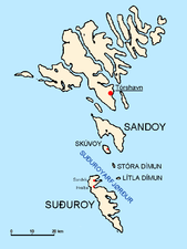
Position on the Faroe map.
-
The strait Suðuroyarfjørður between Suðuroy and the rest of the Faroes.
Photos
[edit]-
Double rainbow at Akraberg
-
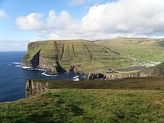
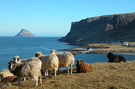
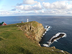
Cape Beinisvørð in the background is one of the most impressive cliffs of the Faroes.
-
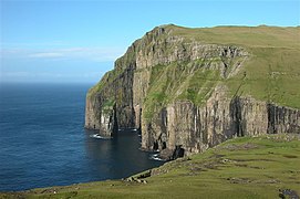
Beinisvørð, 470 m high.
-
Beinisvørð from the seaside.
-
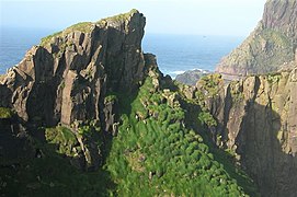
A "stakkur" ("not really peaked basalt stack") on Beinisvørð's coast.
-
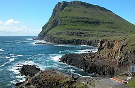
View from Beinisvørð northwards along the steep west coast.
-
West coast of Suðuroy, between Sumba and Vágur
-
The church of Sumba.
-
Football (soccer) stadion in Vágur
-
Basalt and tuff layers in Fámara.
-
Wooden church in Porkeri, built in 1847.
-
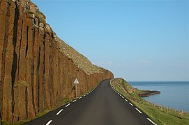
Columnar basalt formations above Hov.
-
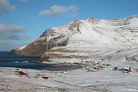
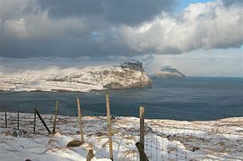
Fámjin in wintertime.
-
Basalt in Froðba
-
View from Høvdaberg to Froðbiarnipa and Lítla Dímun
-
Hol í Hellu, east of Froðba.
-
Hvalbiareiði west of Hvalba
-
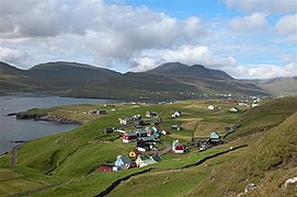
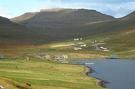
Scenery from Hvalba
-
Ásmundurstakkur, Sandvík
-
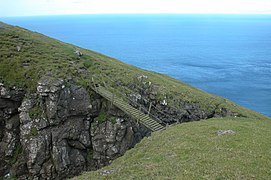
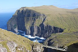
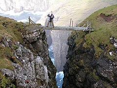
The bridge to Glyvrarbergsgjógv, south of Ásmundurstakkur, Suðuroy
-
Glyvrarbergsgjógv, south of Ásmundurstakkur, west of Sandvík.
-
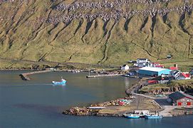
View from Trongisvágur to Tvøroyri.
-
The new ferry Smyril enters Tvøroyri, 15. October 2005
-
The old and new Smyril
-
Smyril and Tvøroyri in the background
-
Hvannhagi
-
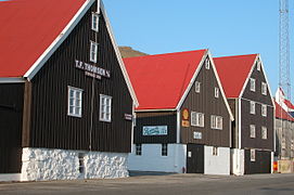
Old store houses in Tvøroyri
-
Ásmundurstakkur west of Sandvík
-
West coast of Sandvík
-
The grave of Viking Chieftain Havgrímur in Hov
Stamps
[edit]-
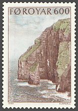
FR 186: Beinisvørð (469m) is one of the most impressing promontories of the Faroes.
-
FR 187: Ásmundarstakkur (the stack in the foreground, 97m).


