Uploads by Kevin Lenz
Jump to navigation
Jump to search
For Kevin Lenz (talk · contributions · Move log · block log · uploads · Abuse filter log)
This special page shows all uploaded files that have not been deleted; for those see the upload log.
| Date | Name | Thumbnail | Size | Description |
|---|---|---|---|---|
| 02:06, 4 October 2006 | Elbow-lake-aerial1.jpg (file) |  |
4.66 MB | Elbow Lake from above. |
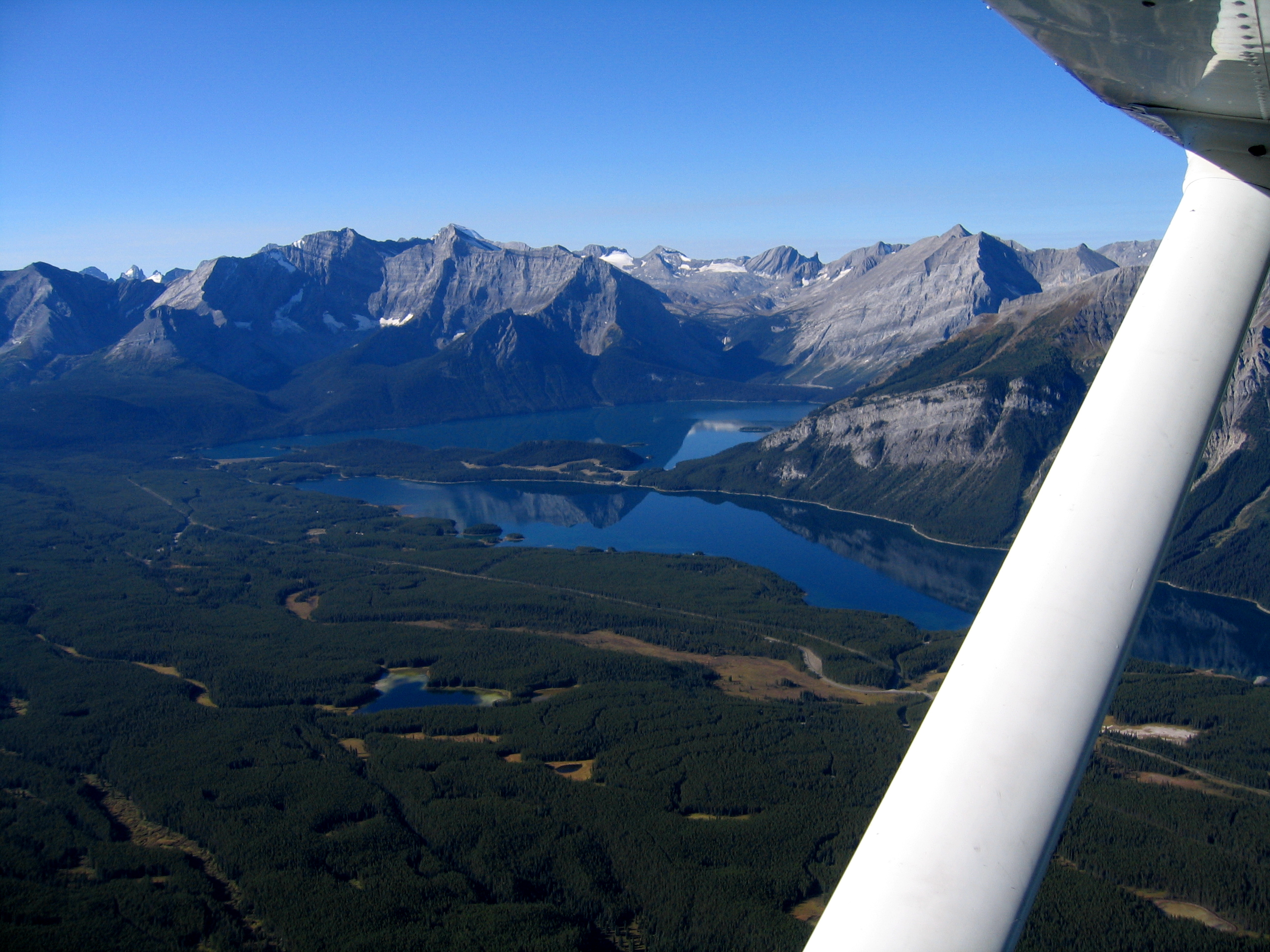
| 01:45, 4 October 2006 | Elbow-valley.jpg (file) |  |
3.32 MB | Elbow Pass viewed from above Desolation Flat. This photo is looking south-south-west toward Elbow Lake and the highway 40 valley. |
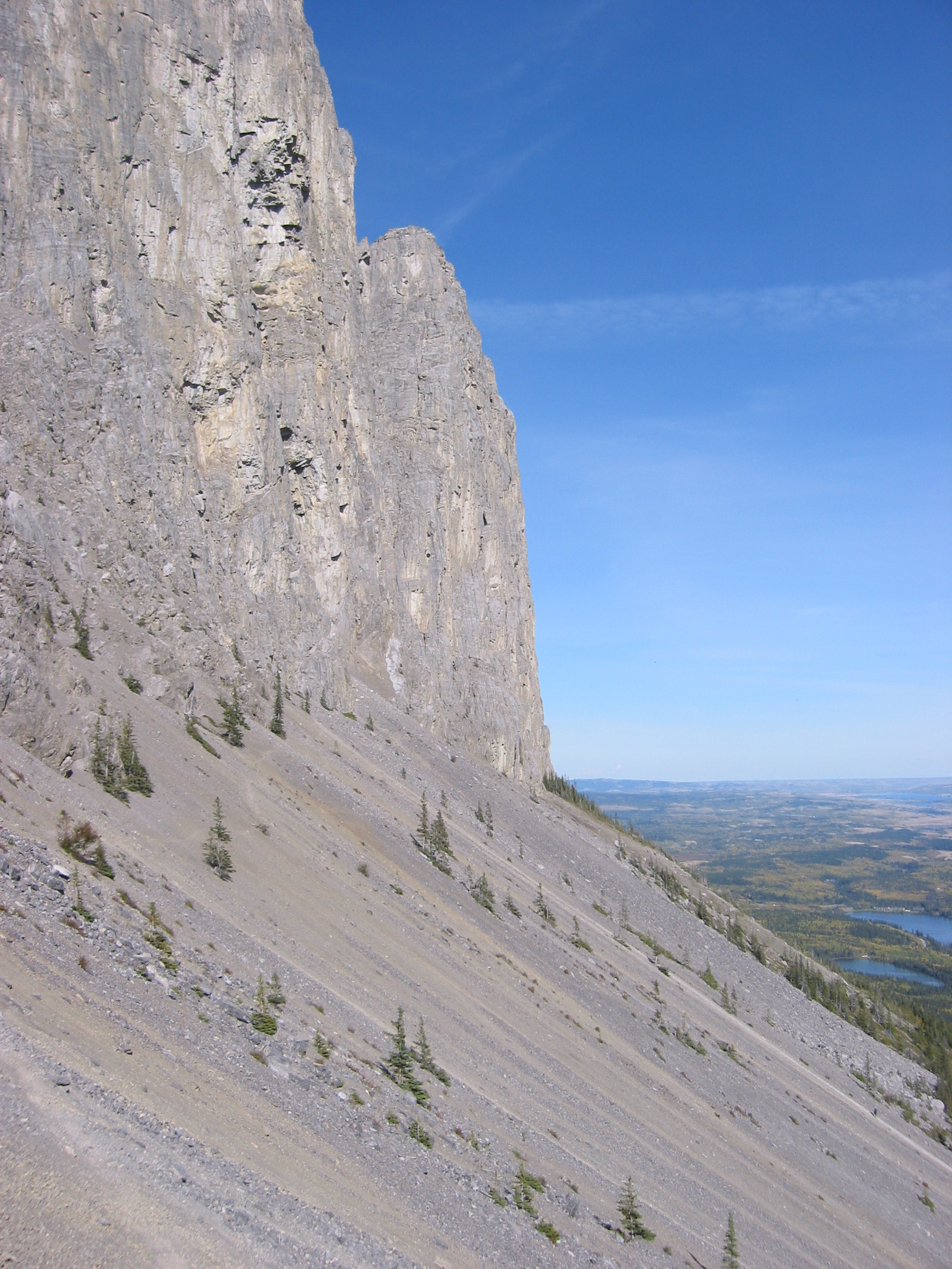
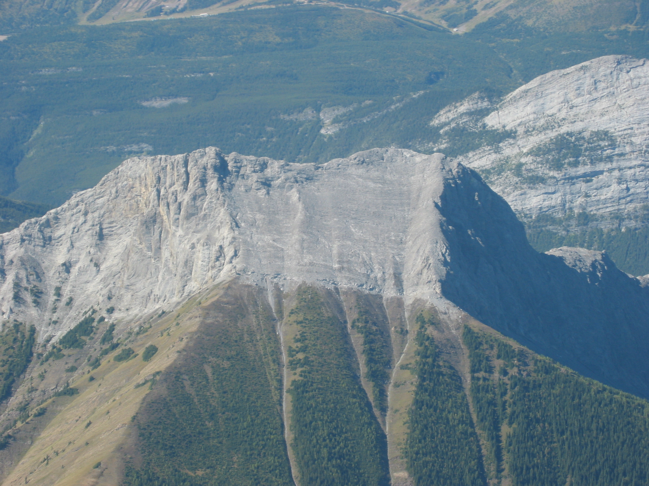
| 03:01, 3 October 2006 | Yamnuska bottom cliff.jpg (file) |  |
1.96 MB | Bottom of the cliffs or top of the scree skiing runs! |
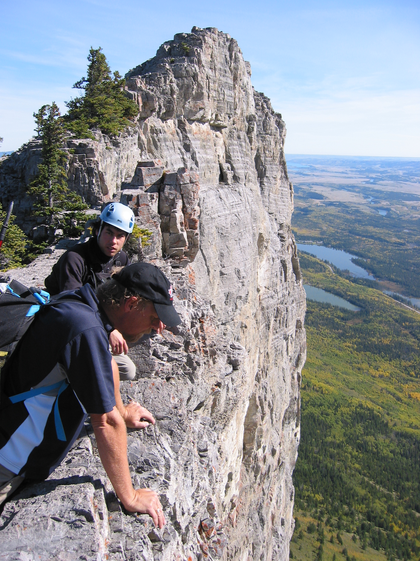
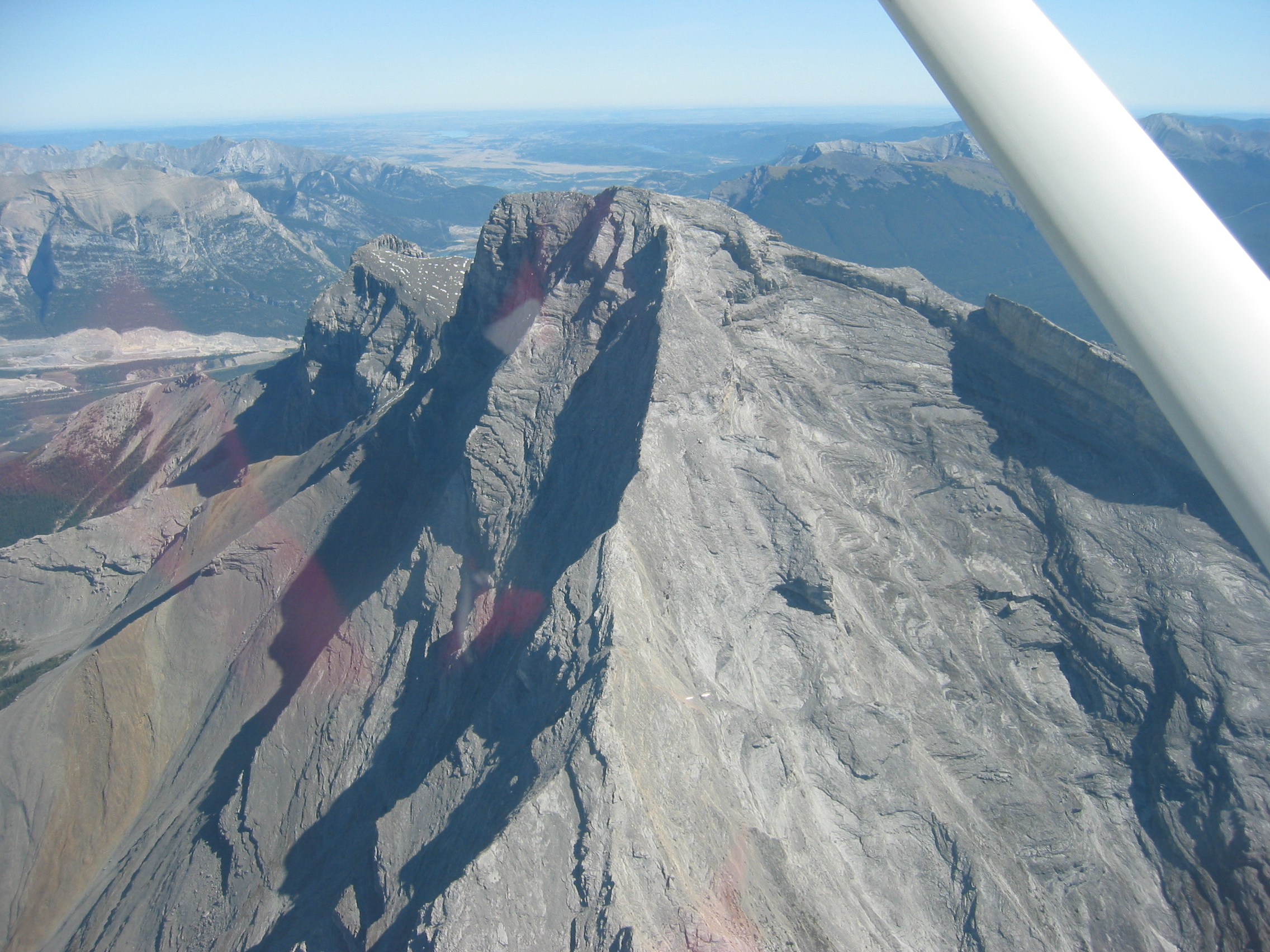
| 02:58, 3 October 2006 | Yamnuska top of climbing route.jpg (file) |  |
2.38 MB | If anyone objects to this photo because it contains people feel free to delete it. This is the best photo I have from the top a climbing route looking east into the prairies. Category: Mountains of Alberta |
| 02:53, 3 October 2006 | Yamnuska cabled traverse.jpg (file) |  |
2.7 MB | This is the infamous scary traverse. There is a cable to hold on to while one traverses from left to right to the down climb. One can also down climb the crack right from the top or take the "giant steps" right out on the exposed cliff side... I used a |
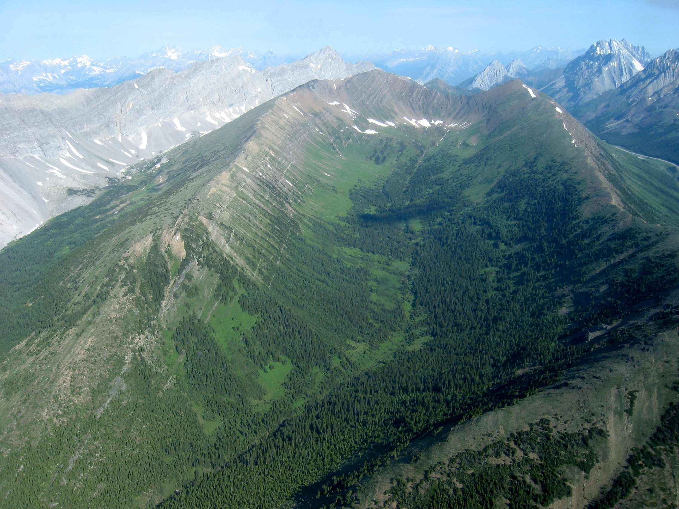
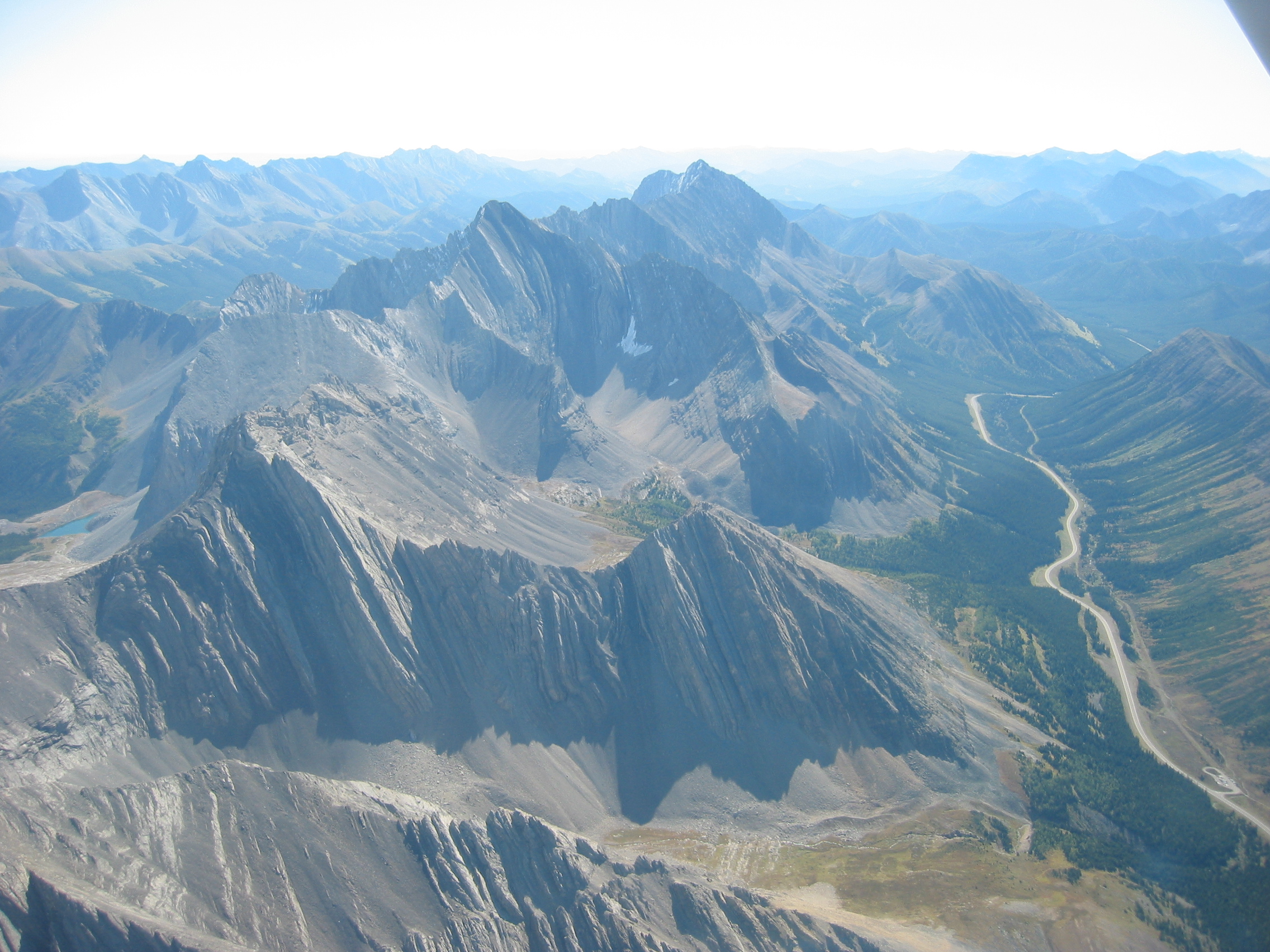
| 02:30, 3 October 2006 | Paradise Valley.jpg (file) |  |
2.79 MB | Paradise Valley viewed from the south looking north. Kananaskis highway 40 and the Highwood Pass parking lot can be seen in the top right corner. Highwood Ridge is on the right. Grizzly Ridge is on the left. Grizzly col is on the top left. |
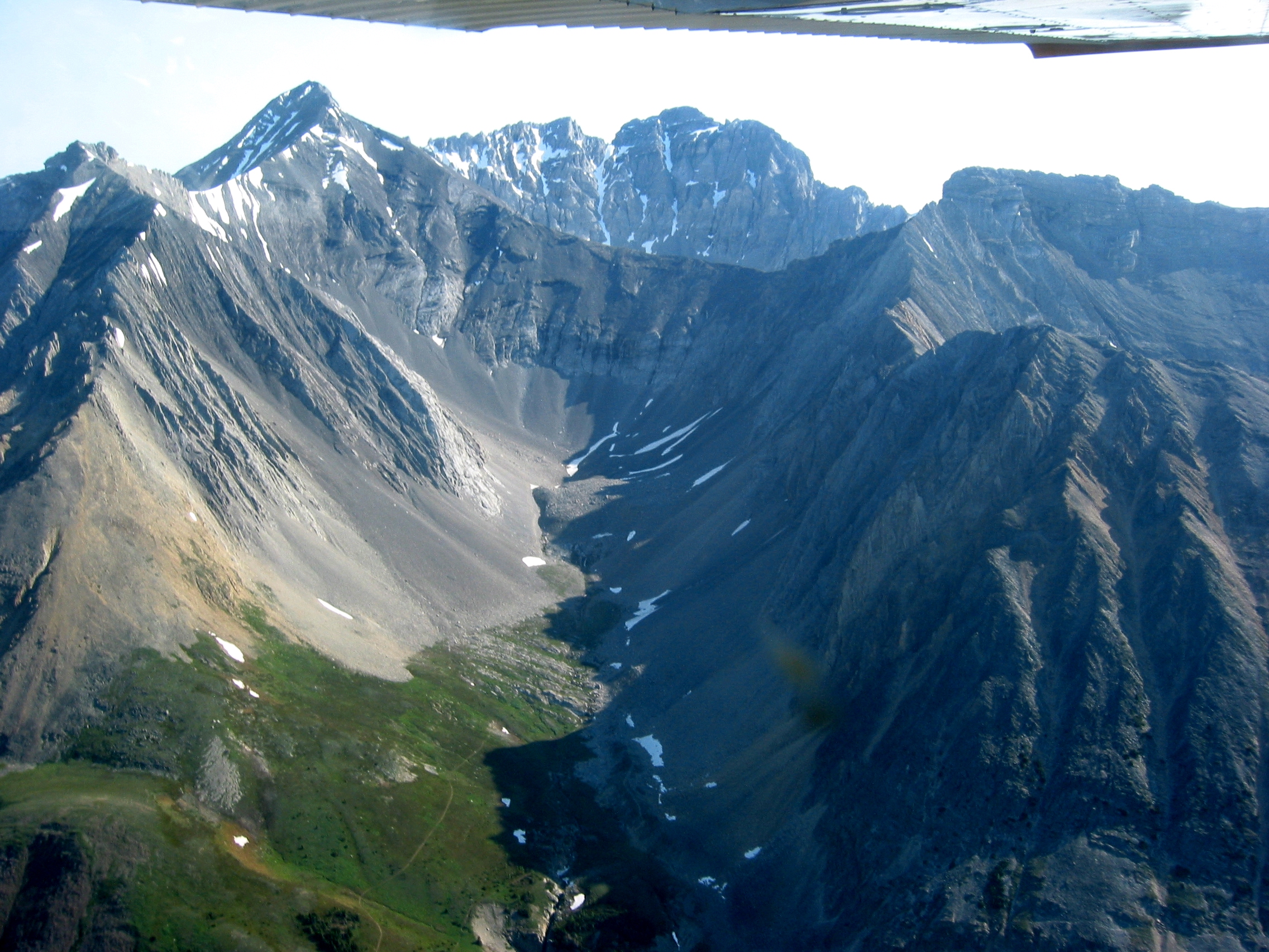
| 02:17, 3 October 2006 | Ptarmigan-Cirque Arethusa Rae.jpg (file) |  |
2.39 MB | Ptarmigan Cirque from directly over the Highwood Pass parking lot. Mount Rae on the left. Mount Arethusa on the right with Little Arethusa in the front right. The northern part hiking trail loop is visible. The southern part is in the shadows. The Mo |
| 04:08, 2 October 2006 | Headwall-Lakes Mount-Chester The-Fortress.jpg (file) |  |
3.57 MB | The Headwall Lakes valley. Mount Chester is the the bottom left foreground. The Fortress is at the end of the Mount Chester ridge. The Kananaskis golf course can be seen in the background as can The Wedge in the top right. [[Category:Mountains of Albe |
| 03:53, 2 October 2006 | Chester-Lake Fortress Gusty aerial2.jpg (file) |  |
3.34 MB | Bottom Right: Chester Lake Top Right: The Fortress Top Left/Mid: Gusty Peak The valley directly above Chester Lake leads to a small lake at the foot of The Fortress. The valled on the left of the frame is named Three Lakes Valley. |
| 03:42, 2 October 2006 | Fortress Gusty aerial1.jpg (file) |  |
3.38 MB | The Fortress is in the middle of the frame. Gusty Peak is to it's left. The Wedge is behind. This photo was taken from over the Smith-Dorrien/Spray Trail road looking ENE. |
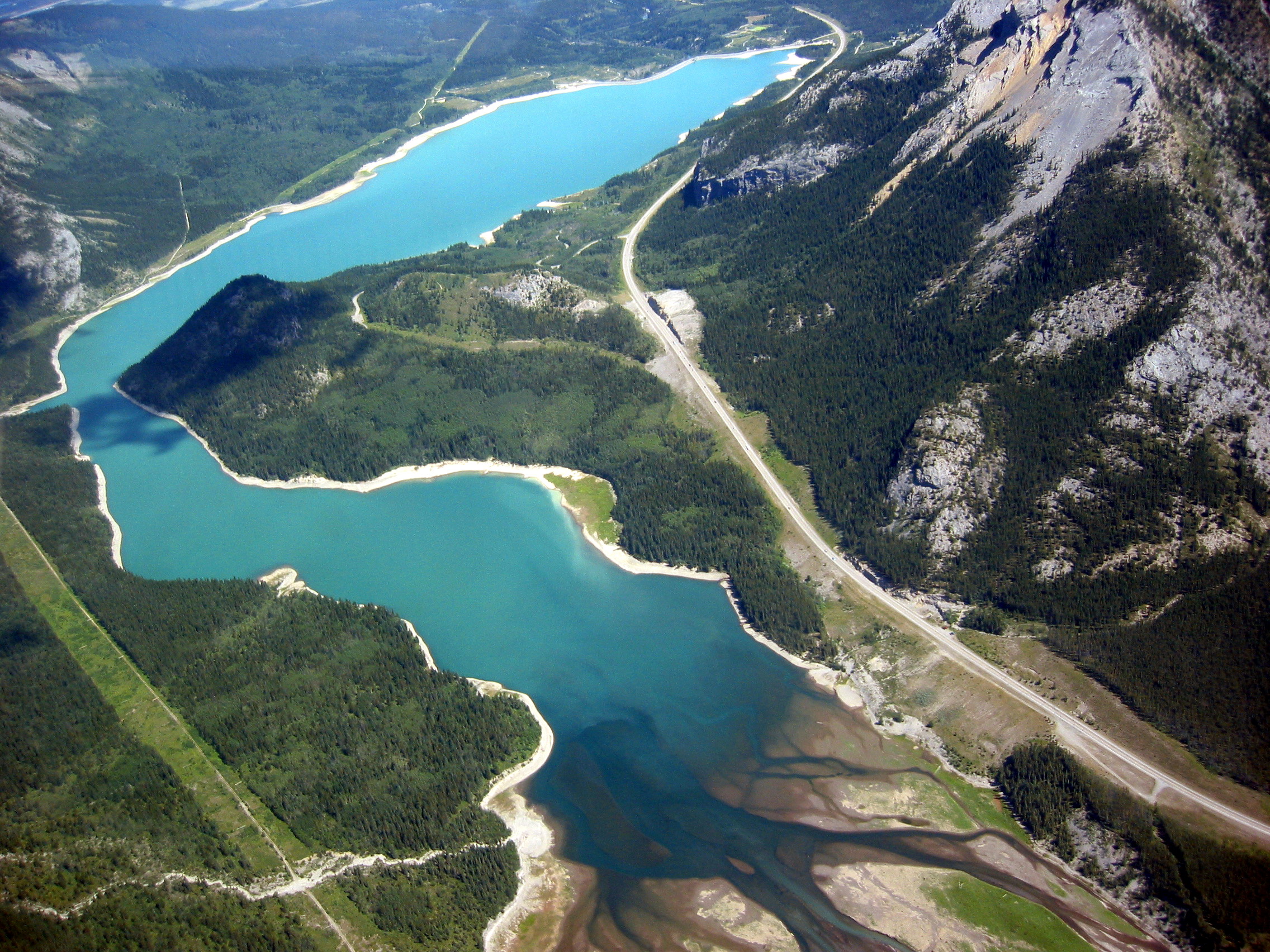
| 03:23, 2 October 2006 | Kananaskis Lakes aerial2.jpg (file) |  |
3.54 MB | Lower and Upper Kananaskis Lakes Category:Lakes_of_Alberta |
| 03:16, 2 October 2006 | Kananaskis Lakes aerial1.jpg (file) |  |
3.72 MB | Upper and Lower Kananaskis Lakes. Mount Indefatigable can be seen on the right and Hidden Lake in the top left. |
| 03:08, 2 October 2006 | Upper Kananaskis Lake aerial1.jpg (file) |  |
3.18 MB | Upper Kananaskis Lake looking west. Category:Lakes_of_Alberta |
| 04:35, 1 October 2006 | The-Wedge-aerial2.jpg (file) |  |
1.85 MB | The Wedge viewed from the norht. Wedge pond is in the bottom right. The trail is pretty much directly up the ridge directly in front of the false (right) summit then along the right side of the summit block. Category:Mountains of Alberta |
| 04:20, 1 October 2006 | The-Wedge-aerial.jpg (file) |  |
1.82 MB | The top of The Wedge in K-Country |
| 23:24, 30 September 2006 | Barrier Lake Kananaskis Aerial.jpg (file) |  |
1.4 MB | Barrier Lake as seen from the air. North is at the top. Mount Baldy is on the right |
| 02:04, 29 September 2006 | Mount-baldy-aerial1.jpg (file) |  |
1.27 MB | Photo taken from over Barrier Lake. The north peak is on the left. The ridge that angles up to it from the lower right is the scrable route. The scramble for the traverse to the south and west peaks is via the interconnecting ridges. There is one min |
| 01:48, 29 September 2006 | Mt-Baldy-Alberta-south-and-west-peaks.jpg (file) |  |
2 MB | A view of the south and west peaks of Mount Baldy from near the summit of the north peak. Category:Mountains of Alberta |
| 21:55, 28 September 2006 | Three-Sisters-Aerial3.jpg (file) |  |
1.89 MB | In this photo the three sisters are lined up in a row behind the Big Sister in the foreground. The ridge up the middle of the frame is the scrable route. Category:Mountains of Alberta |
| 21:51, 28 September 2006 | Three-Sisters-Aerial1.jpg (file) |  |
1.61 MB | A view of the Three Sisters from over the Spray Lakes road. The Bow valley and Trans Canada highway are visible behind. Category:Mountains of Alberta |
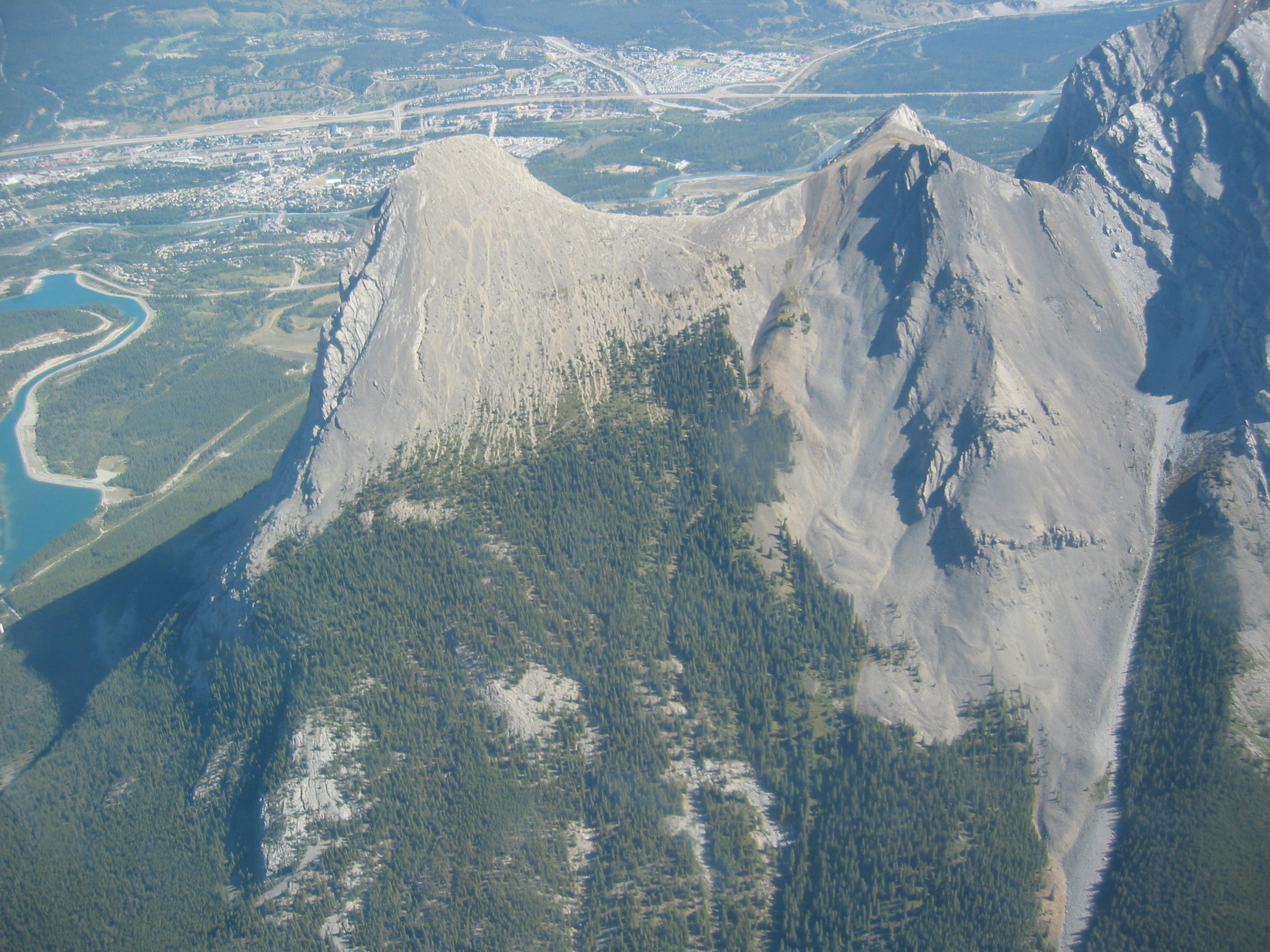
| 20:18, 28 September 2006 | EEOR-HaLing-aerial.jpg (file) |  |
1.73 MB | EEOR and Ha-Ling from the air. Canmore in the background. Category:Mountains of Alberta |
| 17:56, 28 September 2006 | Ha-Ling-aerial.jpg (file) |  |
2.02 MB | This photo was taken from just south of Ha-Ling peak with Canmore in the background. Category:Mountains of Alberta |
| 23:04, 27 September 2006 | Arethusa-Storm-Mist-Highwood-aerial.JPG (file) |  |
1.63 MB | In the foreground you can see the Ptarmigan cirque and the Highwood Pass parking lot on Hwy 40. Mt. Arethusa and Little Arethusa are just behind Ptarmigan cirque. Strom Mountain is next with Mist Mountain at the far end of this group. The photo was taken |