Mount Shasta
Jump to navigation
Jump to search
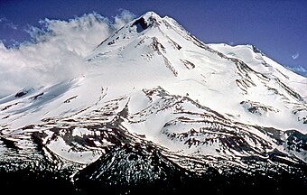
English: Mount Shasta is the second-highest peak of the Cascade Range in western North America.
Deutsch: Der Mount Shasta ist der zweithöchste Berg der Kaskadenkette im Westen Nordamerikas.
Français : Le mont Shasta est le deuxième plus haut sommet de la Chaîne des Cascades, dans l'ouest de l'Amérique du Nord.
Polski: Mount Shasta jest drugim co do wysokości szczytem w Górach Kaskadowych w zachodniej części Ameryki Północnej.
Views of peak
[edit]-
 as seen from Lake Siskiyou
 -
from the northwest
-
I-5 near Shasta
-
Shastina with Mt. Shasta behind
-
from CA 89 (near McCloud)
-
Seen from Interstate 5 near Yreka, California
-
The west face, taken from Hidden Valley at 9200 foot elevation.
-
pano as seen from the town with the same name
-
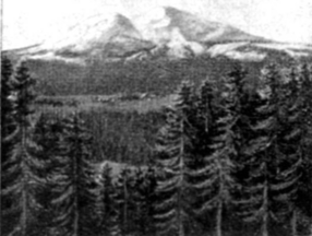
before 1911
-
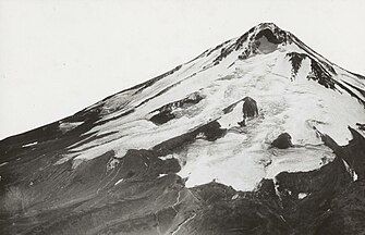
1923
-
Mount Shasta and Black Butte as seen from the north on Interstate 5 at sunset in August 2007
-
Diller Canyon on Mt Shastina from Weed, California
-
View from Redding, California
-
from Mount Shasta City, California.
-
Looking south at Mount Shasta from a vista point on southbound I-5
-
Looking south at the Shasta Valley
Aerial photos
[edit]-
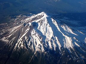
Mt. Shasta from the air
-
aerial from the west
-
satellite image
-
Mount Ashland with Mount Shasta behind it
Maps and vicinity
[edit]-
Rescue being performed at Helen Lake 10,000 ft (3,048 m) on Mount Shasta
-
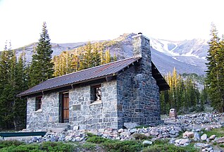
The Shasta Alpine Lodge at Horse Camp on Mount Shasta.
-
Nearby Black Butte from Mount Shasta City, CA
-
Shadow cast by Mount Shasta early in the morning, June 23, 2007, as seen from high on the west face.
-
Little Glass Mountain and Mt. Shasta


