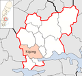
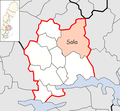
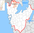
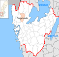
Maps of municipalities of Sweden
Jump to navigation
Jump to search
The origin of the maps is w:Statistics Sweden [1]
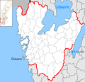
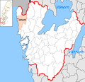
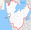
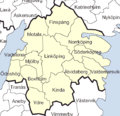
English: Location maps of municipalities of Sweden. This is only a selection with one map of each municipality. For more maps see the subcategories of Category:Maps of municipalities of Sweden.
Svenska: Kartor över Sveriges kommuner. Detta är enbart ett urval med en karta per kommun, för fler kartor se underkategorierna till Category:Maps of municipalities of Sweden.
General
[edit]-
Municipality borders of Sweden with names and codes from SCB 2005.pdf
-
Municipalities of Sweden color
-
Municipalities of Sweden, borders. With county borders.
Blekinge County
[edit]-
all municipalities
-
Karlshamn
-
Karlskrona
-
Olofström
-
Ronneby
-
Sölvesborg
Dalarna County
[edit]-
all municipalities
-
Avesta
-
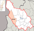
Borlänge
-
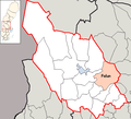
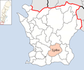
Falun
-
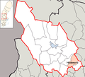
Gagnef
-
Hedemora
-
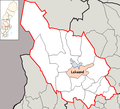
Leksand
-
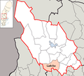
Ludvika
-
Malung
-
Malung-Sälen
-
Mora
-
Orsa
-
Rättvik
-
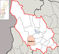
Smedjebacken
-
Säter
-
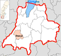
Vansbro
-
Älvdalen
Gotland County
[edit]-
Gotland in Sweden
-
Gotland
Gävleborg County
[edit]-
all municipalities
-
Bollnäs
-
Gävle
-
Hofors
-
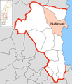
Hudiksvall
-
Ljusdal
-
Nordanstig
-
Ockelbo
-
Ovanåker
-
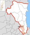
Sandviken
-
Söderhamn
Halland County
[edit]-
all municipalities
-
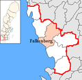
Falkenberg
-
Halmstad
-
Hylte
-
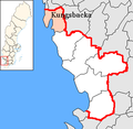
Kungsbacka
-
Laholm
-
Varberg
Jämtland County
[edit]-
all municipalities
-
Berg
-
Bräcke
-
Härjedalen
-
Krokom
-
Ragunda
-
Strömsund
-
Åre
-
Östersund
Jönköping County
[edit]-
Aneby
-
Eksjö
-
Gislaved
-
Gnosjö
-
Habo
-
Jönköping
-
Mullsjö
-
Nässjö
-
Sävsjö
-
Tranås
-
Vaggeryd
-
Vetlanda
-
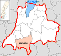
Värnamo
Kalmar County
[edit]-
all municipalities
-
Borgholm
-
Emmaboda
-
Kalmar
-
Högsby
-
Hultsfred
-
Mönsterås
-
Mörbylånga
-
Nybro
-
Oskarshamn
-
Torsås
-
Vimmerby
-
Västervik
Kronoberg County
[edit]-
all municipalities
-
Alvesta
-
Lessebo
-
Ljungby
-
Markaryd
-
Tingsryd
-
Uppvidinge
-
Växjö
-
Älmhult
Norrbotten County
[edit]-
all municipalities
-
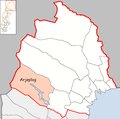
Arjeplog
-
Arvidsjaur
-
Boden
-
Gällivare
-
Haparanda
-
Jokkmokk
-
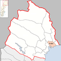
Kalix
-
Kiruna
-
Luleå
-
Pajala
-
Piteå
-
Älvsbyn
-
Överkalix
-
Övertorneå
Skåne County
[edit]-
all municipalities
-
Bjuv
-
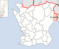
Bromölla
-
Burlöv
-
Båstad
-
Eslöv
-
Helsingborg
-
Hässleholm
-
Höganäs
-
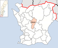
Hörby
-
Höör
-
Klippan
-
Kristianstad
-
Kävlinge
-
Landskrona
-
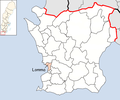
Lomma
-
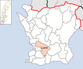
Lund
-
Malmö
-
Osby
-
Perstorp
-
Simrishamn
-
Sjöbo
-
Skurup
-
Staffanstorp
-
Svalöv
-
Svedala
-
Tomelilla
-
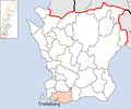
Trelleborg
-
Vellinge
-
Ystad
-
Åstorp
-
Ängelholm
-
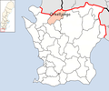
Örkelljunga
-
Östra Göinge
Stockholm County
[edit]-
Botkyrka
-
Danderyd
-
Ekerö
-
Haninge
-
Huddinge
-
Järfälla
-
Lidingö
-
Nacka
-
Norrtälje
-
Nykvarn
-
Nynäshamn
-
Salem
-
Sigtuna
-
Sollentuna
-
Solna
-
Stockholm
-
Sundbyberg
-
Södertälje
-
Tyresö
-
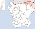
Täby
-
Upplands Väsby
-
Upplands-Bro
-
Vallentuna
-
Vaxholm
-
Värmdö
-
Österåker
Södermanland County
[edit]-
all municipalities
-
Eskilstuna
-
Flen
-
Gnesta
-
Katrineholm
-
Nyköping
-
Oxelösund
-
Strängnäs
-
Trosa
-
Vingåker
Uppsala County
[edit]-
all municipalities
-
Enköping
-
Håbo
-
Heby (new)
-
Knivsta
-
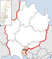
Uppsala
-
Tierp
-
Östhammar
-
Älvkarleby
Värmland County
[edit]-
all municipalities
-
Årjäng
-
Arvika
-
Eda
-
Filipstad
-
Forshaga
-
Grums
-
Hagfors
-
Hammarö
-
Karlstad
-
Kil
-
Kristinehamn
-
Munkfors
-
Säffle
-
Storfors
-
Sunne
-
Torsby
Västerbotten County
[edit]-
all municipalities
-
Bjurholm
-
Dorotea
-
Lycksele
-
Malå
-
Nordmaling
-
Norsjö
-
Robertsfors
-
Skellefteå
-
Sorsele
-
Storuman
-
Umeå
-
Vilhelmina
-
Vindeln
-
Vännäs
-
Åsele
Västernorrland County
[edit]-
All municipalities
-
Härnösand
-
Kramfors
-
Sollefteå
-
Sundsvall
-
Timrå
-
Ånge
-
Örnsköldsvik
Västmanland County
[edit]-
Arboga
-
Fagersta
-
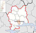
Hallstahammar
-
Heby (old)
-
Köping
-
Köping (new)
-
Kungsör
-
Kungsör (new)
-
Norberg
-
Norberg (new)
-
Sala
-
Skinnskatteberg
-
Skinnskatteberg (new)
-
Surahammar
-
Surahammar (new)
-
Västerås
-
Västerås (new)
Västra Götaland County
[edit]-
all municipalities
-
Ale
-
Alingsås
-
Åmål
-
Bengtsfors
-
Bollebygd
-
Borås
-
Dals-Ed
-
Essunga
-
Falköping
-
Färgelanda
-
Göteborg
-
Götene
-
Grästorp
-
Gullspång
-
Härryda
-
Herrljunga
-
Hjo
-
Karlsborg
-
Kungälv
-
Lerum
-
Lidköping
-
Lilla Edet
-
Lysekil
-
Mariestad
-
Mark
-
Mellerud
-
Mölndal
-
Munkedal
-
Öckerö
-
Orust
-
Partille
-
Skara
-
Skövde
-
Sotenäs
-
Stenungsund
-
Strömstad
-
Svenljunga
-
Tanum
-
Tibro
-
Tidaholm
-
Tjörn
-
Töreboda
-
Tranemo
-
Trollhättan
-
Uddevalla
-
Ulricehamn
-
Vänersborg
-
Vara
-
Vårgårda
Örebro County
[edit]-
all municipalities
-
Askersund
-
Degerfors
-
Hällefors
-
Hallsberg
-
Karlskoga
-
Kumla
-
Laxå
-
Lekeberg
-
Lindesberg
-
Ljusnarsberg
-
Nora
-
Örebro
Östergötland County
[edit]-
all municipalities
-
Boxholm
-
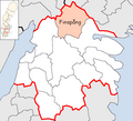
Finspång
-
Kinda
-
Linköping
-
Mjölby
-
Motala
-
Norrköping
-
Söderköping
-
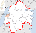
Vadstena
-
Valdemarsvik
-
Ydre
-
Åtvidaberg
-
Ödeshög


