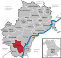
Landkreis Freising
Jump to navigation
Jump to search
district of Bavaria, Germany | |||||
| Upload media | |||||
| Instance of |
| ||||
|---|---|---|---|---|---|
| Location | Upper Bavaria, Bavaria, Germany | ||||
| Capital | |||||
| Head of government |
| ||||
| Headquarters location | |||||
| Inception |
| ||||
| Population |
| ||||
| Area |
| ||||
| Elevation above sea level |
| ||||
| Religion or worldview |
| ||||
| official website | |||||
 | |||||
-
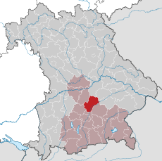
Lage in Bayern / Location in Bavaria
Siedlungen / Human settlements
[edit]Städte / cities
[edit]Freising
[edit]Main gallery: Freising.
Main category: Freising
-
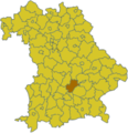
Lage in Bayern (braun koloriert; gelb: Oberbayern) / situation in Bavaria
-
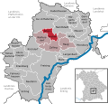
Lage im Landkreis / situation within the district
-
Rathaus
-
Domberg / cathedral hill
-
Marienplatz
-
Mariensäule
-
Untere Hauptstraße
-
Partie an der Mosach, circa 1900
Moosburg an der Isar
[edit]Main gallery: Moosburg an der Isar.
Main category: Moosburg an der Isar
-
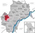
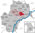
Lage im Landkreis / situation within the district
-
Johannis- und Kastuluskirche
-
Rathaus
Märkte / market towns
[edit]-
Au in der HallertauMain category: Au in der Hallertau
-
NandlstadtMain category: Nandlstadt
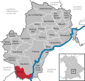
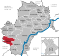
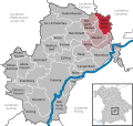
andere Gemeinden / other municipalities
[edit]Gewässer / Bodies of water
[edit](selection)
Main category: Bodies of water in Landkreis Freising
-
AmperMain category: Amper in Landkreis Freising
-
Echinger SeeMain category: Echinger See
-
Glonn (Amper)Main category: Glonn (Amper)
-
IsarMain category: Isar in Landkreis Freising
Franz Josef Strauss International Airport
[edit]-
Flughafen München Franz Josef Strauß (z.T. auch im Landkreis Erding) / Franz Josef Strauss International Airport (partially in Erding district)Main category: Munich Airport
-
Terminal 1
-
Terminal 2
-
bei Nacht / at night
Categories
[edit]| To display all subcategories click on the "▶":
|


