Hvalfjörður
Jump to navigation
Jump to search
The fjord and its branches
[edit]Panoramics and views
[edit]-
View in direction south with parts of the mountain w:Esja
-
View from mountain pass Ferstikluháls in direction of w:Faxaflói and the mouth of the fjord
-
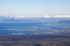
Aerial view of Reykjavík, Faxaflói and Hvalfjörður
-
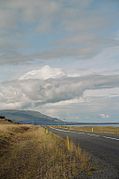
South side of the fjord with road 47
Branches of Hvalfjörður
[edit]-
The interior of the fjord with mountain Botnssúlur
-
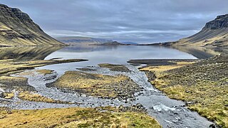
Botnsvogur, a branch of the fjord
-
Hvammsvík, where the British Army had a station during World War II, mountain Brekkukambur in the background, part of the eroded Hvalfjörðurvolcano
-
The Hvammsvik road sign, closing public access to Hvammur and Hvammsvik
-
Botnsvogur
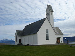
Hallgrímskirkja (Saurbær)
[edit]-
The church, like the bigger one in Reykjavík, is named after lutheran minister and poet w:Hallgrímur Pétursson (1614-74).
-
Hallgrímskirkja in Saurbær, Hvalfjörður: The modern church was consecrated in 1957. Churches had been at the place since the Middle Ages.
Infrastructure around Hvalfjörður
[edit]Restaurants and gas stations
[edit]-
Restaurant and gas station at Ferstikla
-
At the northern side of Hvalfjörður
-
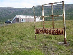
Former restaurant and gas station Botnsskáli
Road 47
[edit]The road follows the fjord's coast and was part of the Hringvegur before the tunnel was opened in 1998.
-
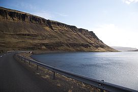
Road 47 in front of Múlafjall with eroded marine terraces and screes
-
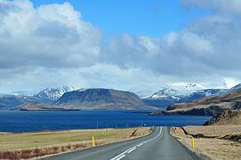
Road 47 at the south side of the fjord; in the background some volcanic mountains of w:Ice Age origin :Hvalfell, Múlafjall and Botnssúlur
-
Road 47 near Hvaleyri
Road no. 1 tunnel under Hvalfjörður
[edit]The tunnel was constructed from 1996 to 1998, is open since July 11, 1998 and has a length of 5.770 m. This part of the Hringvegur is a toll road.
-
Southern entrance to the tunnel
-
Northern entrance to the tunnel


