File:Trees & Streets (Valldoreix) 4.jpg
Jump to navigation
Jump to search
Size of this preview: 800 × 600 pixels. Other resolutions: 320 × 240 pixels | 640 × 480 pixels | 1,024 × 768 pixels | 1,280 × 960 pixels | 1,600 × 1,200 pixels.
Original file (1,600 × 1,200 pixels, file size: 392 KB, MIME type: image/jpeg)
Captions
Captions
Add a one-line explanation of what this file represents
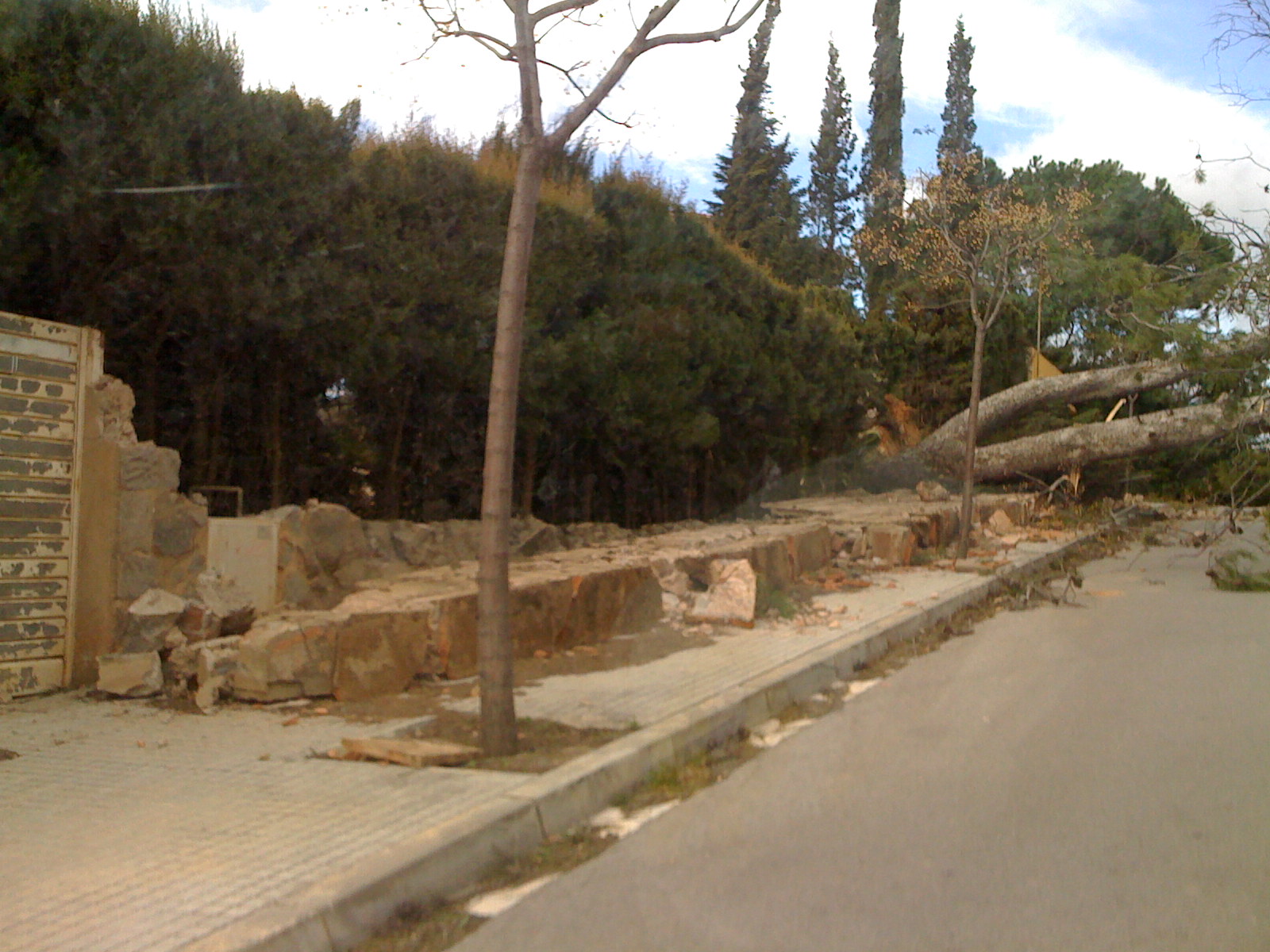
| Description | A picture of the damage caused by the January 2009 Bay of Biscay storm in Valldoreix, 8 miles (13km) north-west of Barcelona | ||||
| Date | |||||
| Source | originally posted to Flickr as Trees & Streets (Valldoreix) | ||||
| Author |
Sergio Calleja (Life is a trip)
|
||||
| Permission (Reusing this file) |
This file is licensed under the Creative Commons Attribution-Share Alike 2.0 Generic license.
|
_4.jpg¶ms=041.459167_N_0002.063667_E_globe:Earth_type:camera_source:exif_&language=en)
File history
Click on a date/time to view the file as it appeared at that time.
| Date/Time | Thumbnail | Dimensions | User | Comment | |
|---|---|---|---|---|---|
| current | 23:30, 25 January 2009 | | 1,600 × 1,200 (392 KB) | Flickr upload bot (talk | contribs) | Uploaded from http://flickr.com/photo/24899877@N00/3224636565 using Flickr upload bot |
You cannot overwrite this file.
File usage on Commons
There are no pages that use this file.
File usage on other wikis
The following other wikis use this file:
- Usage on ca.wikipedia.org
- Usage on es.wikipedia.org
- Usage on fr.wikipedia.org
- Usage on gl.wikipedia.org
_4.jpg&oldid=575545291)