File:Tattleton's ford - geograph.org.uk - 374604.jpg
Jump to navigation
Jump to search
No higher resolution available.
Tattleton's_ford_-_geograph.org.uk_-_374604.jpg (640 × 503 pixels, file size: 105 KB, MIME type: image/jpeg)
Captions
Captions
Add a one-line explanation of what this file represents
Summary
[edit]
| Description |
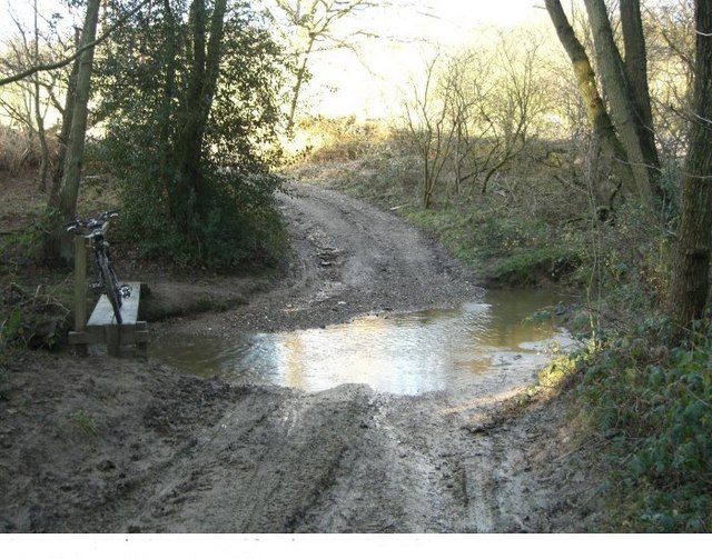
English: Tattleton's ford Tattleton's ford is on the High Weald Landscape trail that goes from Horsham across the north of Sussex to Rye.
Being on a bridleway that swoops down from Carter's Lodge to the Grouse road it makes a pleasant feature (keep to the left). Tattleton's farm once stood just over the ford, to the right. |
| Date | |
| Source | From geograph.org.uk |
| Author | Peter Cox |
| Attribution (required by the license) | Peter Cox / Tattleton's ford / |
| Camera location | | View this and other nearby images on: OpenStreetMap |
|---|
_heading:315.00&language=en)
| Object location | | View this and other nearby images on: OpenStreetMap |
|---|
_heading:315.00&language=en)
Licensing
[edit]

|
This image was taken from the Geograph project collection. See this photograph's page on the Geograph website for the photographer's contact details. The copyright on this image is owned by Peter Cox and is licensed for reuse under the Creative Commons Attribution-ShareAlike 2.0 license.
|
This file is licensed under the Creative Commons Attribution-Share Alike 2.0 Generic license.
Attribution: Peter Cox
- You are free:
- to share – to copy, distribute and transmit the work
- to remix – to adapt the work
- Under the following conditions:
- attribution – You must give appropriate credit, provide a link to the license, and indicate if changes were made. You may do so in any reasonable manner, but not in any way that suggests the licensor endorses you or your use.
- share alike – If you remix, transform, or build upon the material, you must distribute your contributions under the same or compatible license as the original.
File history
Click on a date/time to view the file as it appeared at that time.
| Date/Time | Thumbnail | Dimensions | User | Comment | |
|---|---|---|---|---|---|
| current | 21:36, 4 January 2011 | | 640 × 503 (105 KB) | GeographBot (talk | contribs) | == {{int:filedesc}} == {{Information |description={{en|1=Tattleton's ford Tattleton's ford is on the High Weald Landscape trail that goes from Horsham across the north of Sussex to Rye. Being on a bridleway that swoops down from Carter's Lodge to the Gro |
You cannot overwrite this file.
File usage on Commons
There are no pages that use this file.