File:Ramat Beit HaKerem Map.svg
Jump to navigation
Jump to search

Size of this PNG preview of this SVG file: 618 × 600 pixels. Other resolutions: 247 × 240 pixels | 494 × 480 pixels | 791 × 768 pixels | 1,055 × 1,024 pixels | 2,109 × 2,048 pixels | 721 × 700 pixels.
Original file (SVG file, nominally 721 × 700 pixels, file size: 1.49 MB)
Captions
Captions
Add a one-line explanation of what this file represents
Summary
[edit]
| Description |
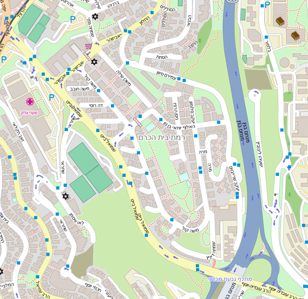
עברית: מפה של רמת בית הכרם |
| Date | |
| Source | OpenStreetMap |
| Author | OpenStreetMap contributors |
Licensing
[edit]
| Description |
English: Map of Ramat Beit HaKerem עברית: מפה של רמת בית הכרם |
|||||||||
| Date | ||||||||||
| Source | You may find a page on the OpenStreetMap wiki page for Ramat Beit HaKerem | |||||||||
| Creator |
OpenStreetMap contributors |
|||||||||
| Permission (Reusing this file) |
OpenStreetMap data is available under the Open Database License (details). Map tiles are licensed under the Creative Commons Attribution-ShareAlike 2.0 license (CC-BY-SA 2.0).
This file is licensed under the Creative Commons Attribution-Share Alike 2.0 Generic license.
|
|||||||||
| Geotemporal data | ||||||||||
| Bounding box |
|
|||||||||
| Georeferencing | If inappropriate please set warp_status = skip to hide. | |||||||||
File history
Click on a date/time to view the file as it appeared at that time.
| Date/Time | Thumbnail | Dimensions | User | Comment | |
|---|---|---|---|---|---|
| current | 20:55, 9 August 2015 | | 721 × 700 (1.49 MB) | ערן (talk | contribs) | User created page with UploadWizard |
You cannot overwrite this file.
File usage on Commons
There are no pages that use this file.