File:NTS Area 19.png
Jump to navigation
Jump to search

Size of this preview: 423 × 599 pixels. Other resolutions: 169 × 240 pixels | 339 × 480 pixels | 542 × 768 pixels | 723 × 1,024 pixels | 1,841 × 2,606 pixels.
Original file (1,841 × 2,606 pixels, file size: 55 KB, MIME type: image/png)
Captions
Captions
Add a one-line explanation of what this file represents
Summary
[edit]
| Description |
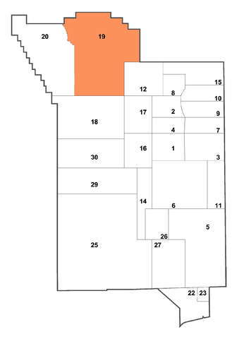
English: This is a derivative work based on a map taken from a PDF published by Nevada Risk Assessment/Management Program, Nevada Test Site, a part of the US Department of Energy. |
| Date | |
| Source | http://pubs.usgs.gov/of/2003/ofr-03-125/ |
| Author | A.E. Hechanova and L.J. O'Neill. US Federal government employees. |
| Permission (Reusing this file) |
public domain |
| Other versions |
Derivative works of this file:
|
Licensing
[edit]
This image is in the public domain in the United States because it only contains materials that originally came from the United States Geological Survey, an agency of the United States Department of the Interior. For more information, see the official USGS copyright policy.
|
}}
File history
Click on a date/time to view the file as it appeared at that time.
| Date/Time | Thumbnail | Dimensions | User | Comment | |
|---|---|---|---|---|---|
| current | 00:38, 30 October 2011 | | 1,841 × 2,606 (55 KB) | Bomazi (talk | contribs) | Removed caption. |
| 23:55, 18 April 2009 |  | 1,841 × 2,744 (64 KB) | Binksternet (talk | contribs) | {{Information |Description={{en|1=== Summary == {{Information |Description={{en|1=This is a derivative work based on a map taken from a PDF published by Nevada Risk Assessment/Management Program, Nevada Test Site, a part of the US Department of Energy.}} |
You cannot overwrite this file.
File usage on Commons
There are no pages that use this file.