File:NPS mammoth-cave-backcountry-map.jpg
Jump to navigation
Jump to search
Size of this preview: 800 × 494 pixels. Other resolutions: 320 × 198 pixels | 640 × 395 pixels | 1,024 × 633 pixels | 1,280 × 791 pixels | 2,426 × 1,499 pixels.
Original file (2,426 × 1,499 pixels, file size: 604 KB, MIME type: image/jpeg)
Captions
Captions
Add a one-line explanation of what this file represents
Summary
[edit]
| Description |
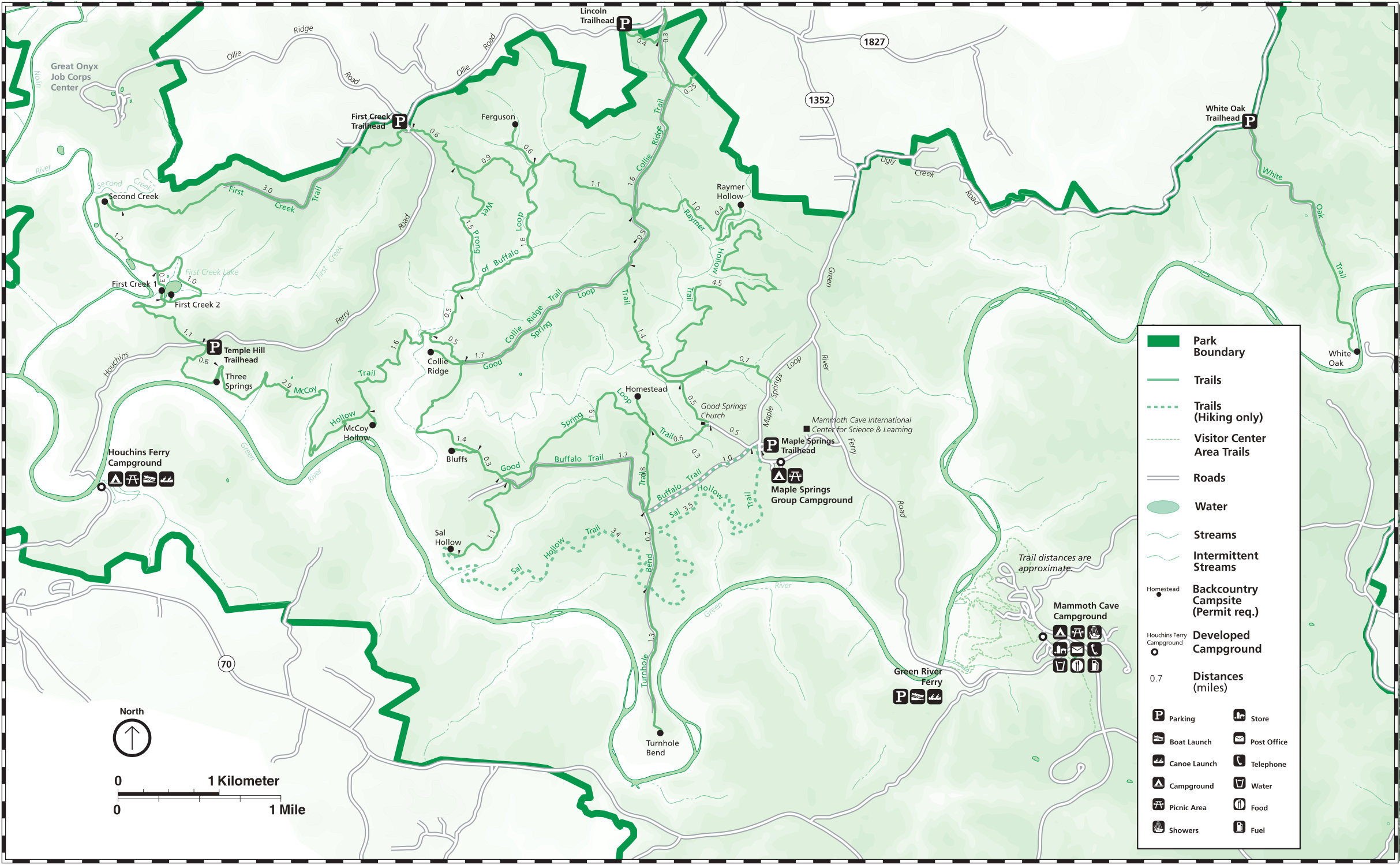
English: Older Mammoth Cave backcountry map, replaced by the ones above. This one is easier to read but has outdated trail routes that are no longer accurate, so do not use this map to navigate. |
| Date | |
| Source | U.S. National Park Service (http://npmaps.com/wp-content/uploads/mammoth-cave-backcountry-map.jpg) |
| Author | U.S. National Park Service, restoration/cleanup by Matt Holly |
Licensing
[edit]
| This image or media file contains material based on a work of a National Park Service employee, created as part of that person's official duties. As a work of the U.S. federal government, such work is in the public domain in the United States. See the NPS website and NPS copyright policy for more information. |
File history
Click on a date/time to view the file as it appeared at that time.
| Date/Time | Thumbnail | Dimensions | User | Comment | |
|---|---|---|---|---|---|
| current | 00:57, 17 May 2017 | | 2,426 × 1,499 (604 KB) | RKBot (talk | contribs) | =={{int:filedesc}}== {{Information |description= {{en|1=Older Mammoth Cave backcountry map, replaced by the ones above. This one is easier to read but has outdated trail routes that are no longer accurate, so do not use this map to navigate.}} |date= 2... |
You cannot overwrite this file.
File usage on Commons
The following 3 pages use this file:
File usage on other wikis
The following other wikis use this file:
- Usage on fr.wikipedia.org
- Usage on hy.wikipedia.org
- Usage on www.wikidata.org