File:Mount Ogden across Sherbrooke Lake.jpg
Jump to navigation
Jump to search
Size of this preview: 800 × 527 pixels. Other resolutions: 320 × 211 pixels | 640 × 421 pixels | 1,024 × 674 pixels | 1,280 × 843 pixels | 2,014 × 1,326 pixels.
Original file (2,014 × 1,326 pixels, file size: 802 KB, MIME type: image/jpeg)
Captions
Captions
Add a one-line explanation of what this file represents
Summary
[edit]
| Description |
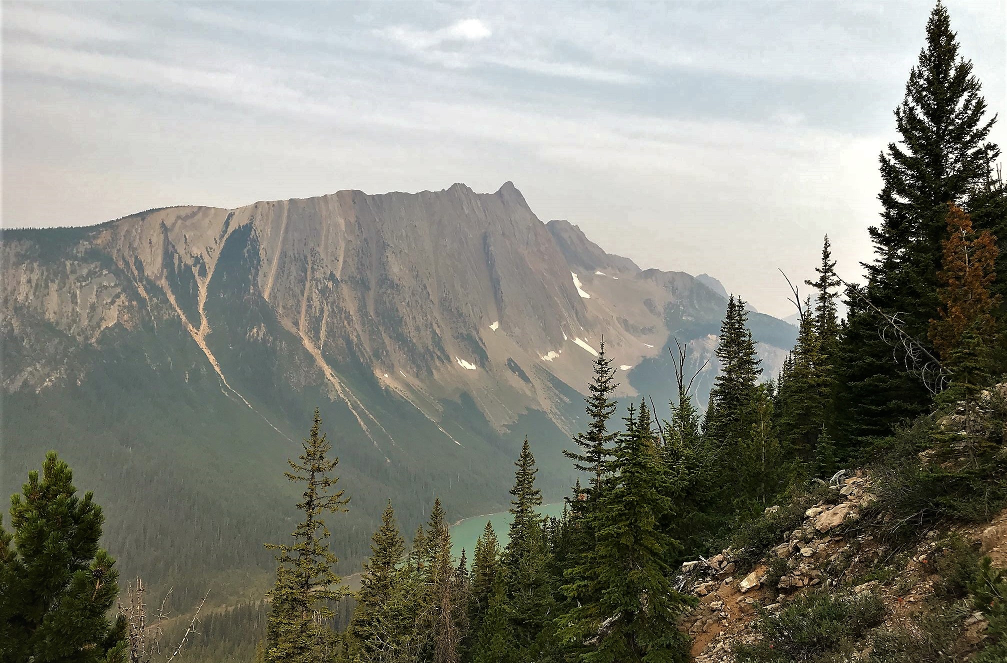
English: Southeast aspect of Mount Ogden with partial glimpse of Sherbrooke Lake. Yoho National Park, BC, Canada |
| Date | Taken on 11 August 2018, 09:41:37 |
| Source | https://www.flickr.com/photos/dvs/30133394088/ |
| Author | sf-dvs |
| Camera location | | View this and other nearby images on: OpenStreetMap |
|---|
Licensing
[edit]
This file is licensed under the Creative Commons Attribution 2.0 Generic license.
- You are free:
- to share – to copy, distribute and transmit the work
- to remix – to adapt the work
- Under the following conditions:
- attribution – You must give appropriate credit, provide a link to the license, and indicate if changes were made. You may do so in any reasonable manner, but not in any way that suggests the licensor endorses you or your use.
| This image was originally posted to Flickr by sf-dvs at https://flickr.com/photos/46207792@N00/30133394088. It was reviewed on 18 December 2022 by FlickreviewR 2 and was confirmed to be licensed under the terms of the cc-by-2.0. |
File history
Click on a date/time to view the file as it appeared at that time.
| Date/Time | Thumbnail | Dimensions | User | Comment | |
|---|---|---|---|---|---|
| current | 04:41, 18 December 2022 | | 2,014 × 1,326 (802 KB) | Ron Clausen (talk | contribs) | crop, exposure |
| 04:37, 18 December 2022 |  | 2,048 × 1,536 (586 KB) | Ron Clausen (talk | contribs) | Uploaded a work by sf-dvs from https://www.flickr.com/photos/dvs/30133394088/ with UploadWizard |
You cannot overwrite this file.
File usage on Commons
There are no pages that use this file.
File usage on other wikis
The following other wikis use this file:
- Usage on en.wikipedia.org