File:Mariner Avenue, Edgbaston - geograph.org.uk - 842326.jpg
Jump to navigation
Jump to search
No higher resolution available.
Mariner_Avenue,_Edgbaston_-_geograph.org.uk_-_842326.jpg (640 × 480 pixels, file size: 101 KB, MIME type: image/jpeg)
Captions
Captions
Add a one-line explanation of what this file represents
Summary
[edit]
| Description |
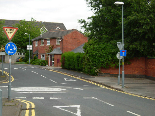
English: Mariner Avenue, Edgbaston Effectively an extension of Waterworks Road, the beginning of Mariner Avenue is seen at its junction with Carlyle Road. There is nothing here now to indicate that this was once the entrance to Midland Red's Central Works - a site comprising over eight acres that for many years built buses as well as maintaining them. |
| Date | |
| Source | From geograph.org.uk |
| Author | Stephen McKay |
| Attribution (required by the license) | Stephen McKay / Mariner Avenue, Edgbaston / |
| Camera location | | View this and other nearby images on: OpenStreetMap |
|---|
_heading:315.00&language=en)
| Object location | | View this and other nearby images on: OpenStreetMap |
|---|
_heading:315.00&language=en)
Licensing
[edit]

|
This image was taken from the Geograph project collection. See this photograph's page on the Geograph website for the photographer's contact details. The copyright on this image is owned by Stephen McKay and is licensed for reuse under the Creative Commons Attribution-ShareAlike 2.0 license.
|
This file is licensed under the Creative Commons Attribution-Share Alike 2.0 Generic license.
Attribution: Stephen McKay
- You are free:
- to share – to copy, distribute and transmit the work
- to remix – to adapt the work
- Under the following conditions:
- attribution – You must give appropriate credit, provide a link to the license, and indicate if changes were made. You may do so in any reasonable manner, but not in any way that suggests the licensor endorses you or your use.
- share alike – If you remix, transform, or build upon the material, you must distribute your contributions under the same or compatible license as the original.
File history
Click on a date/time to view the file as it appeared at that time.
| Date/Time | Thumbnail | Dimensions | User | Comment | |
|---|---|---|---|---|---|
| current | 23:27, 20 February 2011 | | 640 × 480 (101 KB) | GeographBot (talk | contribs) | == {{int:filedesc}} == {{Information |description={{en|1=Mariner Avenue, Edgbaston Effectively an extension of Waterworks Road, the beginning of Mariner Avenue is seen at its junction with Carlyle Road. There is nothing here now to indicate that this was |
You cannot overwrite this file.
File usage on Commons
There are no pages that use this file.