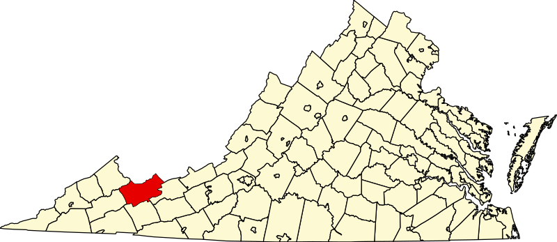
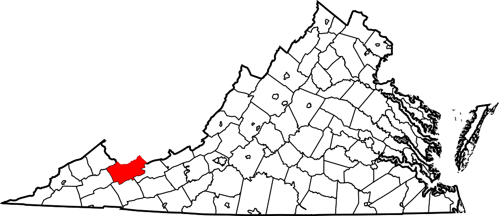
File:Map of Virginia highlighting Tazewell County.svg
Jump to navigation
Jump to search

Size of this PNG preview of this SVG file: 800 × 347 pixels. Other resolutions: 320 × 139 pixels | 640 × 278 pixels | 1,024 × 444 pixels | 1,280 × 555 pixels | 2,560 × 1,110 pixels | 2,495 × 1,082 pixels.
Original file (SVG file, nominally 2,495 × 1,082 pixels, file size: 159 KB)
Captions
Captions
Add a one-line explanation of what this file represents
Summary
[edit]
| Description |
|
| Date | 12 February 2006 (original upload date) |
| Source | No machine-readable source provided. Own work assumed (based on copyright claims). |
| Author | No machine-readable author provided. David Benbennick assumed (based on copyright claims). |
Licensing
[edit]
| I, the copyright holder of this work, release this work into the public domain. This applies worldwide. In some countries this may not be legally possible; if so: I grant anyone the right to use this work for any purpose, without any conditions, unless such conditions are required by law. |
File history
Click on a date/time to view the file as it appeared at that time.
| Date/Time | Thumbnail | Dimensions | User | Comment | |
|---|---|---|---|---|---|
| current | 08:12, 5 July 2024 | | 2,495 × 1,082 (159 KB) | Nux (talk | contribs) | fix rendering (remove clipping), uniform colors |
| 18:00, 12 February 2006 |  | 7,486 × 3,247 (223 KB) | David Benbennick (talk | contribs) | {{subst:User:Dbenbenn/clm|county=Tazewell County|state=Virginia|type=county}} |
You cannot overwrite this file.
File usage on Commons
The following 7 pages use this file:
- Category:Births in Tazewell County, Virginia
- Category:Maps of Tazewell County, Virginia
- Category:National Register of Historic Places in Tazewell County, Virginia
- Category:People of Tazewell County, Virginia
- Category:Populated places in Tazewell County, Virginia
- Category:Tazewell County, Virginia
- Category:Towns in Tazewell County, Virginia
File usage on other wikis
The following other wikis use this file:
- Usage on ar.wikipedia.org
- Usage on bpy.wikipedia.org
- Usage on cdo.wikipedia.org
- Usage on ceb.wikipedia.org
- Usage on ce.wikipedia.org
- Usage on cy.wikipedia.org
- Usage on de.wikipedia.org
- Usage on en.wikipedia.org
- List of cities and counties in Virginia
- Bluefield, Virginia
- Cedar Bluff, Virginia
- Claypool Hill, Virginia
- Richlands, Virginia
- Tazewell, Virginia
- Raven, Virginia
- Tazewell County, Virginia
- Category:Tazewell County, Virginia
- Bishop, Virginia and West Virginia
- Burke's Garden, Virginia
- Jewell Ridge, Virginia
- Template:Tazewell County, Virginia
- Abbs Valley, Virginia
- Busthead, Virginia
- Boissevain, Virginia
- Liberty, Tazewell County, Virginia
- North Tazewell, Virginia
- Paintlick, Virginia
- Pisgah, Virginia
- Pounding Mill, Virginia
- Tannersville, Virginia
- Tiptop, Virginia
- Thompson Valley, Virginia
- Wardell, Virginia
- Frog Level, Tazewell County, Virginia
- National Register of Historic Places listings in Tazewell County, Virginia
- Falls Mills, Virginia
- User:Nyttend/County templates/VA/2
- Amonate, Virginia
- Yards, Virginia and West Virginia
- User:LBourne/Scratch pad
- Category:Populated places in Tazewell County, Virginia
View more global usage of this file.