File:Magdalensberg Blick auf die Karawanken und Julischen Alpen 20122007 991.jpg
Jump to navigation
Jump to search

Size of this preview: 800 × 536 pixels. Other resolutions: 320 × 214 pixels | 640 × 428 pixels | 1,024 × 685 pixels | 1,280 × 857 pixels | 2,560 × 1,714 pixels | 3,872 × 2,592 pixels.
Original file (3,872 × 2,592 pixels, file size: 740 KB, MIME type: image/jpeg)
Captions
Captions
Add a one-line explanation of what this file represents
Summary
[edit]| Description |
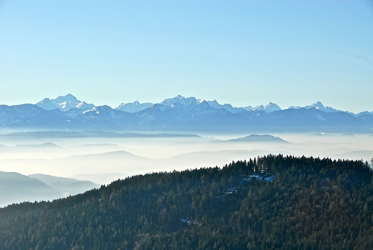
English: View from the top of Mountain Magdalena across the Klagenfurter Becken of the western Karawanks and the Julian Alps behind, municipality Magdalensberg, district Klagenfurt Land, Carinthia, Austria
Deutsch: Blick vom Gipfel des Magdalensbergs über das Klagenfurter Becken auf die westlichen Karawanken und die Julischen Alpen dahinter, Gemeinde Magdalensberg, Bezirk Klagenfurt Land, Kärnten, Österreich |
||
| Date | |||
| Source | Own work | ||
| Author | Johann Jaritz | ||
| Permission (Reusing this file) |
I, the copyright holder of this work, hereby publish it under the following licenses:
This file is licensed under the Creative Commons Attribution-Share Alike 3.0 Austria license.
 You may select the license of your choice. |

Licensing
[edit]I, the copyright holder of this work, hereby publish it under the following license:
This file is licensed under the Creative Commons Attribution-Share Alike 3.0 Unported license.
- You are free:
- to share – to copy, distribute and transmit the work
- to remix – to adapt the work
- Under the following conditions:
- attribution – You must give appropriate credit, provide a link to the license, and indicate if changes were made. You may do so in any reasonable manner, but not in any way that suggests the licensor endorses you or your use.
- share alike – If you remix, transform, or build upon the material, you must distribute your contributions under the same or compatible license as the original.
|
| Annotations | This image is annotated: View the annotations at Commons |


File history
Click on a date/time to view the file as it appeared at that time.
| Date/Time | Thumbnail | Dimensions | User | Comment | |
|---|---|---|---|---|---|
| current | 04:42, 1 November 2011 | | 3,872 × 2,592 (740 KB) | Johann Jaritz (talk | contribs) | {{Information |Description={{en|1=View from the top of Mountain Magdalena across the Klagenfurter Becken at the western Karawanken and the Julian Alps behind, municipality Magdalensberg, district KlagenfurtLand, Carinthia, Austria}} {{de|1=Blick vom Gipfe |
You cannot overwrite this file.
File usage on Commons
The following 3 pages use this file:
File usage on other wikis
The following other wikis use this file:
- Usage on sl.wikipedia.org
- Štalenska gora
- Wikipedija:Izbrane slike/Predlogi/Slika:Magdalensberg Blick auf die Karawanken und Julischen Alpen 20122007 991.jpg
- Wikipedija:Izbrane slike/Arhiv/2016
- Wikipedija:Izbrane slike/Predlogi/Dnevnik (2016)
- Predloga:Slika/4. teden 2016
- Wikipedija:Izbrane slike/Slika leta 2016/Izbirni krog
- Krištofova Gora