File:Location map of Kagoshima.svg
Jump to navigation
Jump to search

Size of this PNG preview of this SVG file: 395 × 600 pixels. Other resolutions: 158 × 240 pixels | 316 × 480 pixels | 505 × 768 pixels | 674 × 1,024 pixels | 1,348 × 2,048 pixels.
Original file (SVG file, nominally 395 × 600 pixels, file size: 15 KB)
Captions
Captions
Add a one-line explanation of what this file represents
| Description |
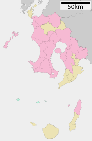
日本語: Location map用の地図。改変前の地図から一旦トカラ列島・奄美群島を除去。 |
||
| Date | |||
| Source | ja:ファイル:包括自治体区画図 46000.svg | ||
| Author | 元ファイル作者:Lincun、改変:Sakoppi | ||
| Permission (Reusing this file) |
I, the copyright holder of this work, hereby publish it under the following licenses:
This file is licensed under the Creative Commons Attribution-Share Alike 3.0 Unported license.
You may select the license of your choice. |

File history
Click on a date/time to view the file as it appeared at that time.
| Date/Time | Thumbnail | Dimensions | User | Comment | |
|---|---|---|---|---|---|
| current | 08:39, 3 September 2011 | | 395 × 600 (15 KB) | Sakoppi (talk | contribs) | {{Information |Description ={{ja|1=Location map用の地図。改変前の地図から一旦トカラ列島・奄美群島を除去。}} |Source =ja:ファイル:包括自治体区画図 46000.svg |Author =元ファイル作者:[ |
You cannot overwrite this file.
File usage on Commons
The following page uses this file:
File usage on other wikis
The following other wikis use this file:
- Usage on ja.wikipedia.org
- 屋久島
- 竹島 (鹿児島県)
- 宮之浦岳
- 鹿児島県立鴨池陸上競技場
- 口永良部島
- 鹿児島空港
- 種子島空港 (初代)
- 菱刈鉱山
- 枕崎飛行場
- 屋久島空港
- 枕崎漁港
- 市比野温泉
- 鹿児島城
- 藺牟田温泉
- 古里温泉
- 尾之間温泉
- 種子島宇宙センター
- 鹿児島県立鴨池野球場
- 阿久根大島
- 鹿屋航空基地
- 池田湖
- ドルフィンポート
- 仙巌園
- 泰平寺 (薩摩川内市)
- 鹿児島神宮
- 霧島神宮
- 枚聞神社
- 新田神社 (薩摩川内市)
- 福昌寺 (鹿児島市)
- 大慈寺 (志布志市)
- 郡山八幡神社 (伊佐市)
- 鹿児島神社 (鹿児島市)
- 一之宮神社 (鹿児島市)
- 荒田八幡宮 (鹿児島市)
- 伊佐智佐神社
- 清泉寺 (鹿児島市)
- 揖宿神社
- 豊玉姫神社 (南九州市)
- 飯倉神社
- 野間神社 (南さつま市)
- 金峰神社 (南さつま市)
- 大汝牟遅神社
- 中島常楽院
- 多宝寺 (日置市)
- 徳重神社
- 頂峯院
- 熊野神社 (出水市)
- 紫尾神社 (出水市)
- 加紫久利神社
- 菅原神社 (薩摩川内市東郷町藤川)
View more global usage of this file.