File:LT Coast location map.svg

Original file (SVG file, nominally 353 × 576 pixels, file size: 66 KB)
Captions
Captions
Wer hat eigentlich das Urheberrecht auf Saats- und Verwaltungsgrenzen, Küstenlinien und Gewässerverläufe, OSM bei Berabeitung via JOSM und Inkscape? Die letzte Version ist aus OSM herausgearbeitet worden, nicht Lithuania adm location map.svg Mauki (talk) 12:35, 27 September 2020 (UTC)
- Exactly the same vectors as in Lithuania adm location map.svg. It's not taken from OSM (and even that would mean that is not your work). NNW 13:10, 27 September 2020 (UTC)
Summary
[edit]
| Description |
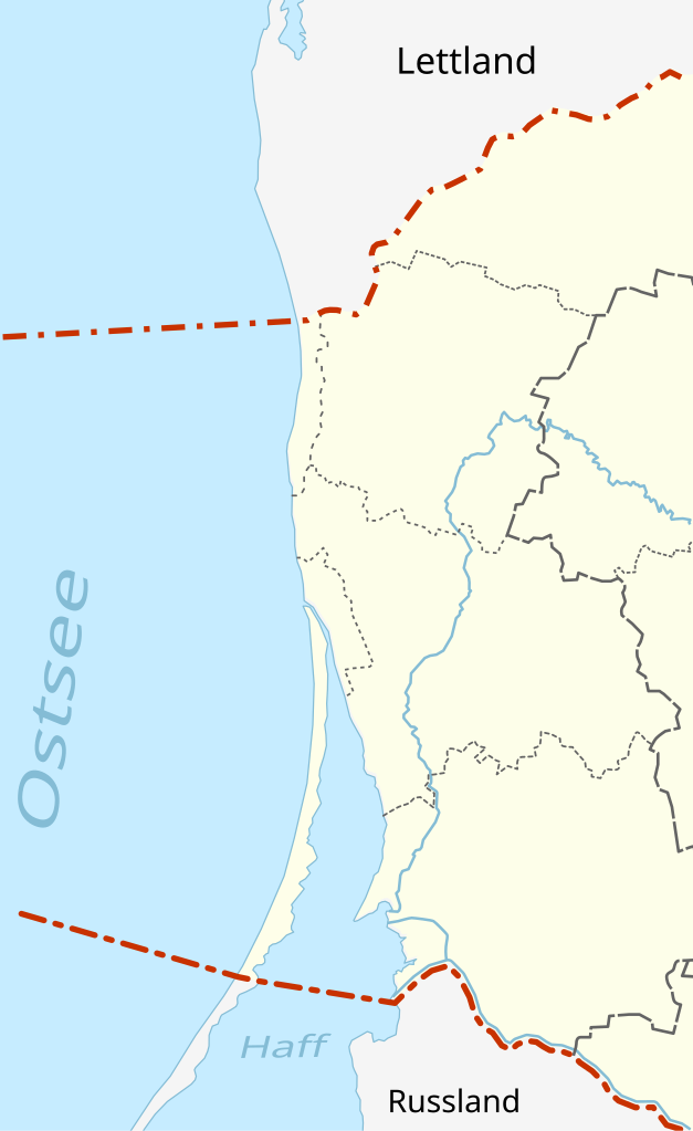
Deutsch: Litauische Ostseeküste |
| Date | |
| Source |
This file was derived from: Lithuania adm location map.svg by NordNordWest |
| Author | Original work by NordNordWest, adapted by Gadacz |
|
Equirectangular projection, vertical stretching 150 % | ||
|---|---|---|
| 56.45 | ||
| 20.5 | ←↕→ | 21.9 |
| 55.1 | ||
![]() Info This map is part of a series of location maps with unified standards: SVG as file format, standardised colours and name scheme. The boundaries on these maps always show the de facto situation and do not imply any endorsement or acceptance. In case of changes of the shown area the file is updated. The old version will be uploaded as a new file and thus is still available.
Info This map is part of a series of location maps with unified standards: SVG as file format, standardised colours and name scheme. The boundaries on these maps always show the de facto situation and do not imply any endorsement or acceptance. In case of changes of the shown area the file is updated. The old version will be uploaded as a new file and thus is still available.
Licensing
[edit]
- You are free:
- to share – to copy, distribute and transmit the work
- to remix – to adapt the work
- Under the following conditions:
- attribution – You must give appropriate credit, provide a link to the license, and indicate if changes were made. You may do so in any reasonable manner, but not in any way that suggests the licensor endorses you or your use.
- share alike – If you remix, transform, or build upon the material, you must distribute your contributions under the same or compatible license as the original.
File history
Click on a date/time to view the file as it appeared at that time.
| Date/Time | Thumbnail | Dimensions | User | Comment | |
|---|---|---|---|---|---|
| current | 06:13, 15 September 2020 | | 353 × 576 (66 KB) | Kpfiwa (talk | contribs) | Grenzverlauf im Meer, dezentere Beschtiftung |
| 11:23, 13 September 2020 |  | 353 × 576 (65 KB) | Kpfiwa (talk | contribs) | Grenzverläufe optimiert, Basisbeschriftung | |
| 14:00, 8 September 2020 |  | 353 × 576 (71 KB) | Kpfiwa (talk | contribs) | Uploaded own work with UploadWizard |
You cannot overwrite this file.
File usage on Commons
The following page uses this file:
File usage on other wikis
The following other wikis use this file:
- Usage on de.wikipedia.org
- Leuchtturm Klaipėda
- Liste von Leuchttürmen in Litauen
- Benutzer Diskussion:Kpfiwa/Spielwiese:LTLeuchttürme
- Leuchtturm Juodkrantė
- Leuchtturm Ventės Rago
- Leuchtturm Nida
- Leuchtturm Uostadvaris
- Leuchtturm Šventoji
- Leuchtturm Pervalka
- Vorlage:Positionskarte Litauische Küste
- Vorlage:Positionskarte Klaipeda
- SPM Būtingė
- Usage on fr.wikipedia.org