File:Karte Winterthur Zinzikon.svg
Jump to navigation
Jump to search

Size of this PNG preview of this SVG file: 800 × 338 pixels. Other resolutions: 320 × 135 pixels | 640 × 270 pixels | 1,024 × 433 pixels | 1,280 × 541 pixels | 2,560 × 1,082 pixels | 2,416 × 1,021 pixels.
Original file (SVG file, nominally 2,416 × 1,021 pixels, file size: 3.48 MB)
Captions
Captions
Add a one-line explanation of what this file represents
Summary
[edit]
| Description |
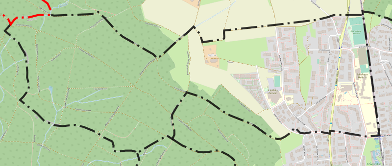
Deutsch: Karte des Winterthurer Quartier Zinzikon mit eingezeichneter Grenze; basierend auf einer Karte des OpenStreetMap-Projektes
English: Map from the quarter Zinzikon of the city Winterthur with borders; based on a map of the OpenStreetMap-project |
|||||||||
| Date | ||||||||||
| Source | You may find a page on the OpenStreetMap wiki page for Zinzikon | |||||||||
| Creator |
OpenStreetMap-Mitwirkende; zusätzliche Grenzen von Fundriver OpenStreetMap contributors |
|||||||||
| Permission (Reusing this file) |
OpenStreetMap data is available under the Open Database License (details). Standard style map tiles are licensed as ODbL Produced Works.
|
|||||||||
| Geotemporal data | ||||||||||
| Bounding box |
|
|||||||||
| SVG development | ||||||||||
File history
Click on a date/time to view the file as it appeared at that time.
| Date/Time | Thumbnail | Dimensions | User | Comment | |
|---|---|---|---|---|---|
| current | 08:08, 23 November 2023 | | 2,416 × 1,021 (3.48 MB) | Fundriver (talk | contribs) | fehlende Grenzlinie hinzugefügt |
| 08:26, 4 October 2021 |  | 2,416 × 1,021 (4.08 MB) | Fundriver (talk | contribs) | == {{int:filedesc}} == {{OpenStreetMap |name = Zinzikon |location = Quartier Zinzikon, Winterthur |description = {{de|1=Karte des Winterthurer Quartier Zinzikon mit eingezeichneter Grenze; basierend auf einer Karte des OpenStreetMap-Projektes}} {{en|1=Map from the quarter Zinzikon of the city Winterthur with borders; based on a map of the OpenStreetMap-project}} |top = 47.52322 |bottom = 47.51510 |left = 8.73347 |right = 8.76187 |date = 2021-10-04 |authors = OpenStreetMap-Mit... |
You cannot overwrite this file.
File usage on Commons
The following 5 pages use this file:
File usage on other wikis
The following other wikis use this file:
- Usage on de.wikipedia.org