File:GIS example map of the moon.png
GIS_example_map_of_the_moon.png (787 × 393 pixels, file size: 248 KB, MIME type: image/png)
Captions
Captions
| DescriptionGIS example map of the moon.png |
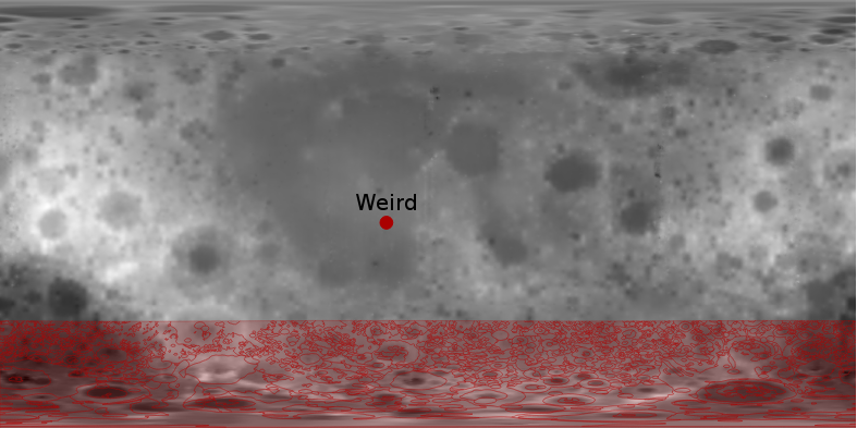
English: Example of a GIS-created map of the moon. Raster map is a GeoTIFF derived from The Unified Lunar Control Network 2005 (http://pubs.usgs.gov/of/2006/1367/), highlighted are the feature "Weird" (Astronaut-named feature, Apollo 14 site; http://planetarynames.wr.usgs.gov/Feature/6514) and the Geologic Map of the South Side of the Moon (http://webgis.wr.usgs.gov/pigwad/down/moon_geology.htm#L-1162) |
||||
| Date |
between 2005 and 2012 date QS:P,+2050-00-00T00:00:00Z/7,P1319,+2005-00-00T00:00:00Z/9,P1326,+2012-00-00T00:00:00Z/9 |
||||
| Source |
|
||||
| Author | USGS Astrogeology Science Center | ||||
| Permission (Reusing this file) |
|
File history
Click on a date/time to view the file as it appeared at that time.
| Date/Time | Thumbnail | Dimensions | User | Comment | |
|---|---|---|---|---|---|
| current | 21:48, 19 March 2013 |  | 787 × 393 (248 KB) | Rbrausse (talk | contribs) | {{Information |Description ={{en|1=Example of a GIS-created map of the moon. Raster map is a GeoTIFF derived from The Unified Lunar Control Network 2005 (http://pubs.usgs.gov/of/2006/1367/), highlighted are the feature "Weird" (Astronaut-named featu... |
You cannot overwrite this file.
File usage on Commons
The following page uses this file:
File usage on other wikis
The following other wikis use this file:
- Usage on fr.wikipedia.org
Metadata
This file contains additional information such as Exif metadata which may have been added by the digital camera, scanner, or software program used to create or digitize it. If the file has been modified from its original state, some details such as the timestamp may not fully reflect those of the original file. The timestamp is only as accurate as the clock in the camera, and it may be completely wrong.
| Horizontal resolution | 39.37 dpc |
|---|---|
| Vertical resolution | 39.37 dpc |

