File:Ealing London UK blank ward map 2002 to 2022.svg
Jump to navigation
Jump to search

Size of this PNG preview of this SVG file: 800 × 554 pixels. Other resolutions: 320 × 221 pixels | 640 × 443 pixels | 1,024 × 709 pixels | 1,280 × 886 pixels | 2,560 × 1,771 pixels | 1,425 × 986 pixels.
Original file (SVG file, nominally 1,425 × 986 pixels, file size: 441 KB)
Captions
Captions
Add a one-line explanation of what this file represents
| Description |
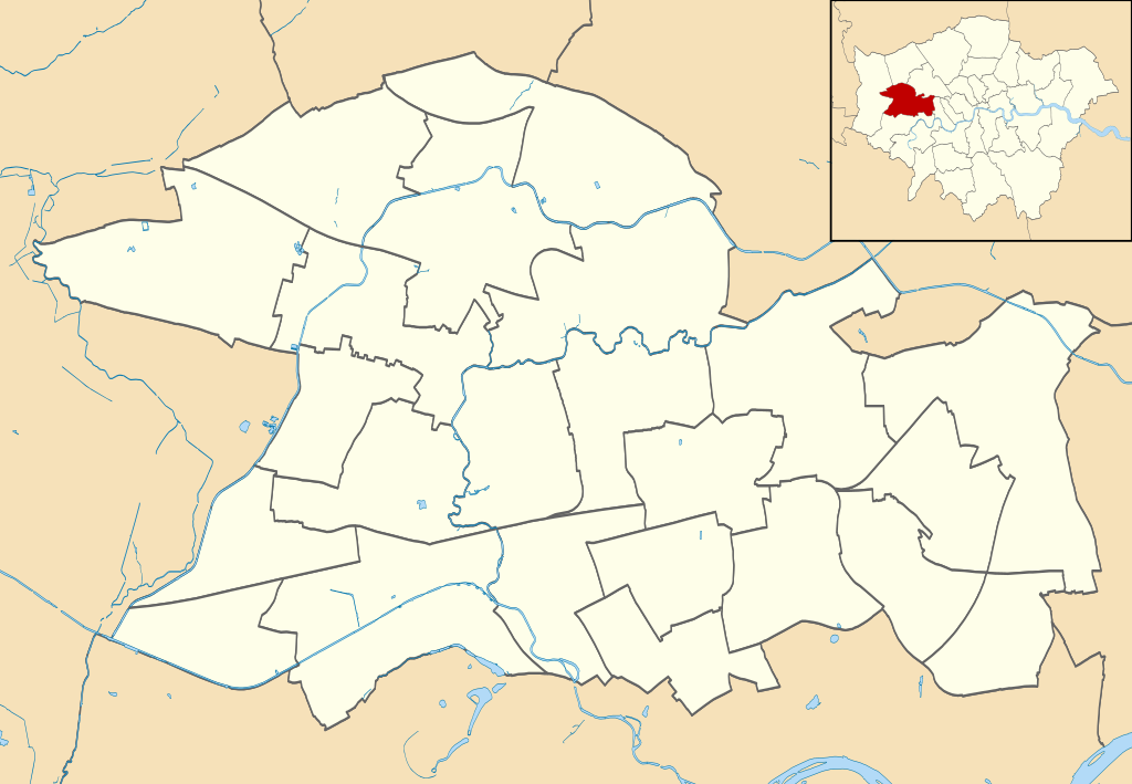
Blank map of the London Borough of Ealing, showing electoral wards used from 2002 to 2022. Equirectangular map projection on WGS 84 datum, with N/S stretched 160% Geographic limits:
|
| Date | |
| Source |
|
| Author | Nilfanion |
| Permission (Reusing this file) |
This file is licensed under the Creative Commons Attribution-Share Alike 3.0 Unported license. Attribution: Contains Ordnance Survey data © Crown copyright and database right
|
File history
Click on a date/time to view the file as it appeared at that time.
| Date/Time | Thumbnail | Dimensions | User | Comment | |
|---|---|---|---|---|---|
| current | 21:57, 28 July 2011 | | 1,425 × 986 (441 KB) | Nilfanion (talk | contribs) | {{Information |Description=Blank map of the London Borough of Ealing, showing electoral wards. Equirectangular map projection on WGS 84 datum, with N/S stretched 160% Geographic limits: *West: 0.425W *East: 0.24W *North: 5 |
You cannot overwrite this file.
File usage on Commons
The following 7 pages use this file:
- User:Nilfanion/Maps/Elections
- File:Ealing London UK blank ward map.svg (file redirect)
- File:Ealing London UK labelled ward map 2002.svg
- File:Ealing London UK local election 2002 map.svg
- File:Ealing London UK local election 2006 map.svg
- File:Ealing London UK local election 2010 map.svg
- File:Ealing London UK local election 2014 map.svg
File usage on other wikis
The following other wikis use this file:
- Usage on en.wikipedia.org
- Usage on fr.wikipedia.org
- Usage on he.wikipedia.org
- Usage on pl.wikipedia.org
- Katastrofa kolejowa w Southall
- Ealing Broadway (stacja kolejowa)
- Ealing Common
- Acton Town
- South Acton (stacja kolejowa)
- Ealing Jazz Club
- Acton Central
- North Acton
- Hanger Lane
- Perivale
- Greenford (stacja)
- Northolt (stacja metra)
- West Acton
- University of West London
- Acton Hill Church
- Cmentarz South Ealing w Londynie
- Moduł:Mapa/dane/Ealing
- Moduł:Mapa/dane/GB-EAL
- Northala Fields
- Usage on pl.wikibooks.org