File:Chronicle of Foreign Lands WDL227.pdf
Jump to navigation
Jump to search

Size of this JPG preview of this PDF file: 800 × 416 pixels. Other resolutions: 320 × 166 pixels | 640 × 332 pixels | 1,024 × 532 pixels | 1,280 × 665 pixels | 2,560 × 1,330 pixels | 5,000 × 2,597 pixels.

Original file (5,000 × 2,597 pixels, file size: 53.28 MB, MIME type: application/pdf, 124 pages)
Captions
Captions
Add a one-line explanation of what this file represents
Summary
[edit]| Author |
Русский: Йе, Ксианьггао
Français : Yang, Tingyun
English: Yang, Tingyun
中文:叶向高
Português: Yang, Tingyun
العربية: يانغ, تينغيون
Español: Yang, Tingyun |
| Title |
Русский: Хроники зарубежных стран
Français : Chronique des terres étrangères
English: Chronicle of Foreign Lands
中文:职方外纪
Português: Crônica de Terras Estrangeiras
العربية: تاريخ الأراضي الأجنبية
Español: Crónica de las tierras extranjeras |
| Description |
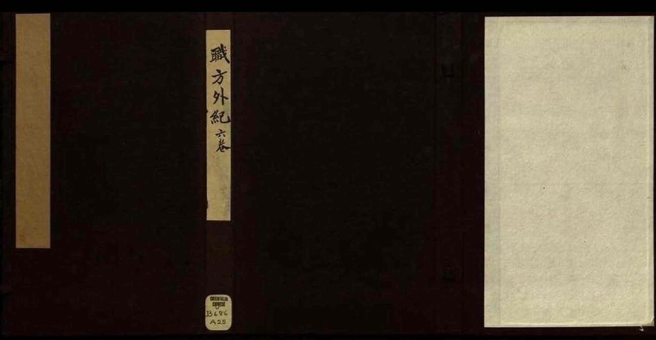
Русский: Работа "Zhifang waiji" ("Хроника иноземных стран") является кратким изложением географии мира, первым подобного рода трудом, написанным на китайском языке. Миссионер-иезуит из Италии, Маттео Риччи, создал первую карту мира на китайском языке в 1584 году. Эта карта, составленная в соответствии с западными принципами картографии, которые в то время были неизвестны в Китае, претерпела несколько изменений в период 1584-1602 годов. По приказу императора священникам Диего де Пантойа и Сабатино де Урсис из миссии Риччи было поручено составление книги, содержащей пояснения к карте. Пантойа умер в 1618 году, и его работа была закончена Хулио Алени. Йанг Тинжиуин, уважаемый крупный китайский чиновник, одним из первых обратилсяя в христианство. Он помогал работать над стилем книги, а также способствовал ее публикации в 1623 году в его родном городе Ханчжу. В этом труде мир разделяется на пять континентов: Азия, Европа, Ливия (Африка), Америка и "Магеллания". "Магелланией" называлась обширная территория, которая, как считалось, простиралась от самой южной точки Северной Америки вплоть до Южного полюса и даже на несколько градусов далее.
Гуанчжоу; Историческая география; Иезуиты Français : Le Zhifang waiji (Chronique des terres étrangères) est une géographie concise du monde, la première de ce genre écrite en chinois. Le missionnaire jésuite italien Matteo Ricci produisit une carte du monde en chinois en 1584. Cette carte, qui suivait des principes occidentaux de cartographie alors inconnus en Chine, subit plusieurs révisions entre 1584 et 1602. Un ordre impérial chargea Diego de Pantoja et Sabatino de Ursis, deux prêtres compagnons de Ricci, d’écrire un livre expliquant la carte. Pantoja mourut en 1618 et le travail fut terminé par Giulio Aleni. Yang Tingyun, un officiel chinois respecté et l’un les premiers convertis au christianisme, polit le style de l'ouvrage et en favorisa la publication, en 1623, dans sa propre ville de Hangzhou. L’ouvrage divise le globe en cinq continents : l'Asie, l'Europe, la Libye (Afrique), l'Amérique et « Magellanica ». Cette dernière est une vaste étendue de terre qui irait des environs de l’extrémité sud de l'Amérique du Sud jusqu'à plusieurs degrés au-delà du pôle Sud.
Canton; Géographie historique; Jésuites English: The Zhifang waiji (Chronicle of foreign lands) is a concise geography of the world, the first of its kind written in Chinese. The Italian Jesuit missionary Matteo Ricci produced a map of the world in Chinese in 1584. The map, which followed Western principles of cartography then unknown in China, underwent several revisions between 1584 and 1602. Ricci’s fellow priests Diego de Pantoja and Sabatino de Ursis were instructed by imperial order to compose a book explaining the map. Pantoja died in 1618 and the work eventually was completed by Giulio Aleni. Yang Tingyun, a respected Chinese official and early convert to Christianity, polished the style of the book and helped to get it published, in 1623, in his own city of Hangzhou. The work divides the globe into five continents: Asia, Europe, Libya (Africa), America, and “Magellanica.” The latter is an extensive tract of land said to extend from near the southern tip of South America to several degrees beyond the South Pole.
Canton; Historical geography; Jesuits 中文:《职方外纪》 (外国地理纪要)是首部用汉语编著的简明世界地理著作。 1584 年,意大利传教士利玛窦用汉语绘制了一幅世界地图。 该幅地图采用的是当时中国尚未知晓的西方绘图原则,于1584 至 1602 年年间经过数次修订。 与利玛窦一起传教的神父庞迪我和熊三拔遵从圣旨编著了一本书来解释该地图所绘制的内容。 庞迪我于 1618 年去世,该书最终由艾儒略著作完成。 早期基督教信徒、时任朝廷官员杨廷筠对该书的写作风格进行了润色,于 1623 年在他的家乡杭州帮助出版了这本书。 在这本书里,地球被分为五大洲:亚细亚、欧罗巴、利米亚(非洲)、亚墨利加以及墨瓦腊泥加洲。 墨瓦腊泥加洲据说是指从靠近南美洲南端的地方一直到跨越南极点后更远的广阔土地。
广州; 历史地理学; 耶稣会士 Português: O Zhifang waiji (Crônica de terras estrangeiras) é uma geografia do mundo concisa, a primeira do seu gênero escrita em chinês. O missionário jesuíta italiano Matteo Ricci produziu um mapa do mundo em chinês, em 1584. O mapa, que seguia os princípios ocidentais da cartografia, então desconhecidos na China, passou por várias revisões entre 1584 e 1602. Os sacerdotes compatriotas de Ricci, Diego de Pantoja e Sabatino de Ursis, foram instruídos, por ordem imperial, para compor um livro explicando o mapa. Pantoja morreu em 1618 e a obra foi finalmente concluída por Giulio Aleni. Yang Tingyun, um respeitado oficial chinês e convertido ao cristianismo, refinou o estilo do livro e ajudou a publicá-lo, em 1623, na sua própria cidade de Hangzhou. A obra divide o globo em cinco continentes: Ásia, Europa, Líbia (África), América e "Magelânica". Este último é uma extensa porção de terras que se acreditava estender-se dos arredores da extremidade meridional da América do Sul até vários graus além do Pólo Sul.
Cantão; Geografia histórica; Jesuítas العربية: تاريخ الأراضي الأجنبية هو مختصر لجغرافية العالم وهو العمل الأول من نوعه المكتوب باللغة الصينية. وضع المبشر اليسوعي الإيطالي ماتيو ريتشي خريطة للعالم باللغة الصينية فى 1584. اتبعت الخريطة المبادئ الغربية لرسم الخرائط التي لم تكن معروفة في الصين آنذاك ولذا مرت الخريطة بعدة مراجعات بين 1584 و 1602. صدرت تعليمات بالأمر الإمبراطوري لزملاء ريتشي القساوسة دييغو دي بانتوخا وساباتينو دي أورسس لتأليف كتاب يشرح الخريطة. وقد توفى بانتوخا عام 1618 وأكمل أليني جيوليو العمل فى نهاية المطاف. نقح يانج تنغوين، وهو مسؤول صيني محترم اعتنق المسيحية في فترة مبكرة، أسلوب الكتاب وساعد في نشره عام 1623 في مدينته هانغزو. يقسم الكتاب الكرة الأرضية إلى خمس قارات: آسيا وأوروبا وليبيا (أفريقيا) وأمريكا "وماجيلانيكا". والقارة الأخيرة عبارة عن مساحة شاسعة من الأرض قيل أنها تمتد من التخوم الجنوبي لأمريكا الجنوبية إلى عدة درجات فيما وراء القطب الجنوبي.
كانتون; الجغرافيا التاريخية; اليسوعيون Español: El Zhifang waiji (Crónica de las tierras extranjeras) es una geografía concisa del mundo, el primero de este tipo escrito en chino. El misionero jesuita italiano Matteo Ricci realizó un mapa del mundo en chino en 1584. El mapa, que seguía los principios de la cartografía occidental por entonces desconocidos en China, fue sometido a varias revisiones entre 1584 y 1602. Los compañeros sacerdotes de Ricci, Diego de Pantoja y Sabatino de Ursis fueron designados, por orden imperial, para componer un libro que explicara el mapa. Pantoja murió en 1618 y la obra fue completada por Giulio Aleni. Yang Tingyun, un respetado funcionario chino que se había convertido al cristianismo, pulió el estilo del libro y ayudó a conseguir su publicación en 1623, en su ciudad de Hangzhou. La obra divide el globo en cinco continentes: Asia, Europa, Libia (África), América y "Magellanica". Éste último es una amplia extensión de tierra que se consideraba que se extendía desde el extremo sur de América del Sur hasta varios grados por debajo del Polo Sur.
Cantón; Geografía histórica; Jesuitas |
| Date | 1623 |
| Medium |
Русский: Книги
Français : Livres
English: Books
中文:图书
Português: Livros
العربية: كتب
Español: Libros |
| Dimensions |
English: Wood block ; two volumes in one case |
| Collection |
Русский: Библиотека Конгресса
Français : Bibliothèque du Congrès
English: Library of Congress
中文:国会图书馆
Português: Biblioteca do Congresso
العربية: مكتبة الكونغرس
Español: Biblioteca del Congreso |
| Place of creation |
Русский: Мир
Français : Monde
English: World
中文:世界
Português: Mundo
العربية: العالم
Español: Mundo |
| Notes | Original language title: 職方外紀 六卷卷首一卷 |
| Source/Photographer |
http://dl.wdl.org/227/service/227.pdf
|
Licensing
[edit]|
This is a faithful photographic reproduction of a two-dimensional, public domain work of art. The work of art itself is in the public domain for the following reason:
The official position taken by the Wikimedia Foundation is that "faithful reproductions of two-dimensional public domain works of art are public domain".
This photographic reproduction is therefore also considered to be in the public domain in the United States. In other jurisdictions, re-use of this content may be restricted; see Reuse of PD-Art photographs for details. | ||||
File history
Click on a date/time to view the file as it appeared at that time.
| Date/Time | Thumbnail | Dimensions | User | Comment | |
|---|---|---|---|---|---|
| current | 15:19, 1 March 2014 |  | 5,000 × 2,597, 124 pages (53.28 MB) | Fæ (talk | contribs) | =={{int:filedesc}}== {{Artwork |artist = |author ={{ru|1=Йе, Ксианьггао}} {{fr|1=Yang, Tingyun}} {{en|1=Yang, Tingyun}} {{zh|1=叶向高}} {{pt|1=Yang, Tingyun}} {{ar|1=يانغ, تينغيون}} {{es|1=Yang, Tingyun}} |title ={{ru|1=Хр... |
You cannot overwrite this file.
File usage on Commons
The following page uses this file: